Here's some images of the progress so far in reworking the Tainan Group's Rabaul map. The original map had some generic textures and indifferent object placement. It didn't really look much like the real thing, so I set about correcting and improving things as much as I could.
Rabaul was under seige in 1944. All servicable aircraft and able-bodied pilots were withdrawn to Truk. What remained were damaged airfields, derelict aircraft and the sick and injured aircrews. Nevertheless, reconstruction began and little by little wrecked aircraft were made airworthy. Pilots recovered, regrouped and begain to retrain. Under continual air bombardment from US, Australian and New Zealand airforces, Rabaul's
Guerilla Airforce was born...
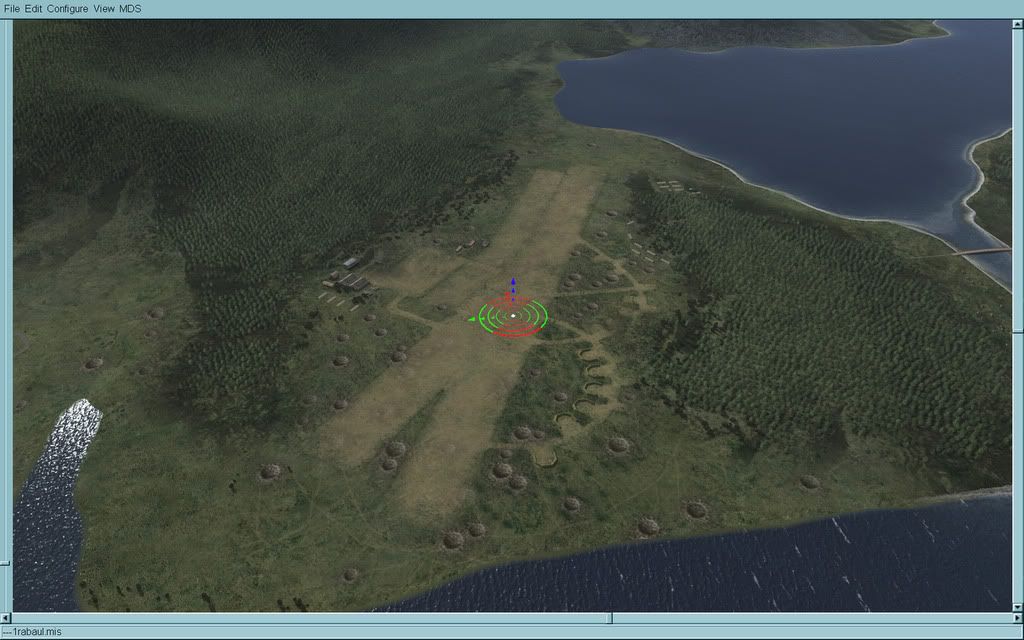
Lakunai strip, just south of Rabaul township. Lying in the shadow of an active volcano, it is a dusty, shabby place at the best of times. In 1944 it had been hit repeatedly by medium and heavy bombers. The strip has been repaired over and over again. The worst of the craters have been filled, but many remain. Lakunai is only partially operational. Unexploded bombs are everywhere. Land at your own risk!
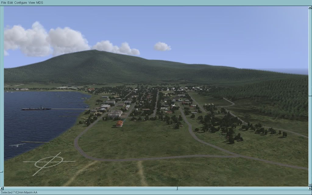
Rabaul's downtown area, looking north up Mango Avenue from Lakunai. To the left is the makeshift compass rose for the seaplane base at Sulphur Creek.
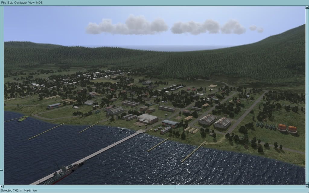
A view of the downtown and waterfront area. This entire area would be churned into a lunar landscape by US heavy bombardment groups in 1945 who used it as target practice while training up for the final push against the Home islands. Visible is the old RAAF jetty and the NDL wharf.
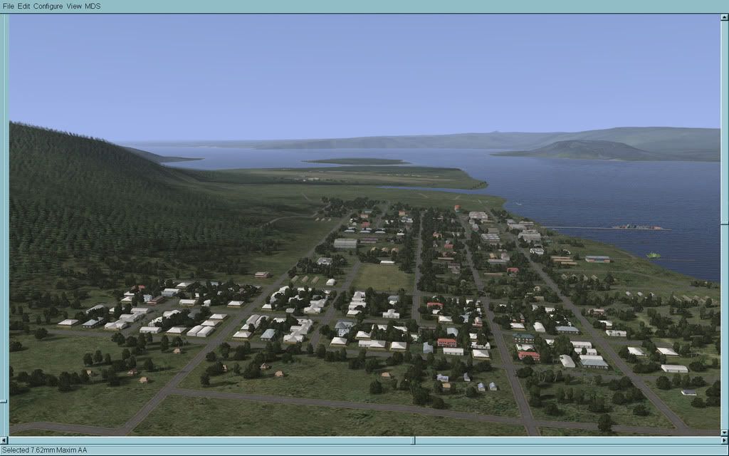
Another view of Rabaul. This time looking south down Mango and Casuarina Avenues towards Lakunai strip. The white roofed residential buidings in the left foreground are the old "Chinatown" area. The graveyard will be just ahead of that (wip). Also visible is Queen Elizabeth Park and the New Guinea sports club. Roads are mostly grey owing to the layers of volcanic ash in the area from the Rabatan crater.
Two views of Rapopo field (Rabaul South). Like many airstrips it is built amid a palm plantation, as the land is much easier to clear than jungle. Many trees remain, although here and there craters have blasted gaps in their orderly rows. Rapopo is still open for business however.
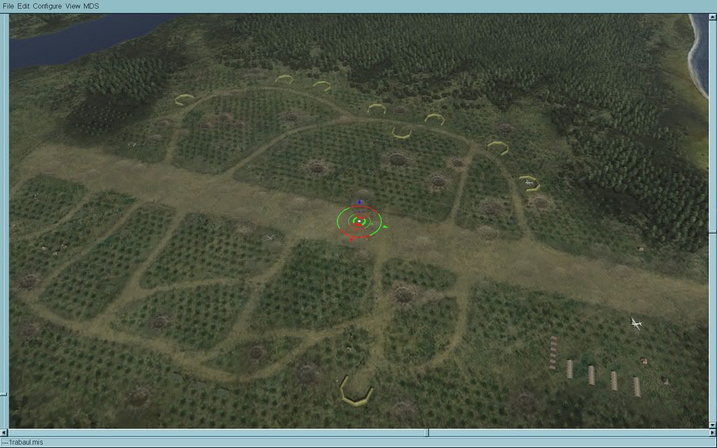
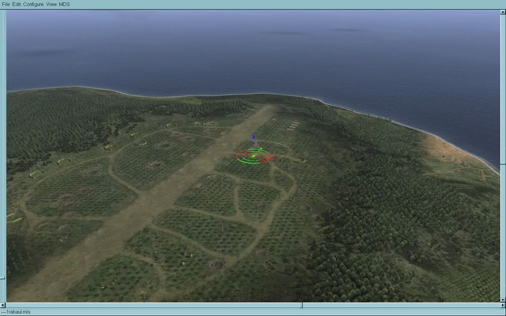
Vunakanau, wip. Derelict bombers are being restored to operational status among the trees...

Tobera airstrip and the new secondary strip under construction. I've kept other airfields as close to the original map specs as i could in the hope of maintaining some compatability with any earlier missions and campaigns. However Tainan's tobera was miss-shapen, upside down, back to front and pointing in the wrong direction. It really had to go. This one is wip and so far only one night's work.
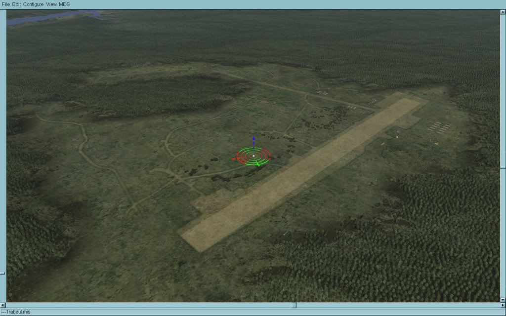
That's more or less it for now. Still plenty to do, but certainly more than half way there. Still need to populate the Rabaul uptown area properly. Information is a bit sketchy there. Especially the western end. I also need to find out how to render shallow water properly. What little abilities I have really don't sem to extend to that area

Anyhow, hope you like it. I'll add more pics as things progress...
S!
 Author
Topic: Rabaul 1944 WiP (Read 74877 times)


