EDIT: This is a very old version. Please look for BurmaLower_1942 and BurmaLower_1944 which was last updated August2016.cztx_BurmaLower map version 2.1 is now ready for download here:
https://www.mediafire.com/file/lmnyunmntnn/BurmaLowerV2.1.zip No changes were made to V2.1 which was in in the AAA Forum WIP Maps Forum. If you already have that then there is no need to download this one.
Installation:
unzip the downloaded file and put the folder named "cztx_BurmaLower" into your Maps folder found in this sequence:
IL2 1946/Mods/Mapmods/Maps/....
add the following line to your all.ini file:
cztx_BurmaLower cztx_BurmaLower/load.ini
------------------------------------------------------------------------------------------------------------------------------------
A very special thanks goes to Fabianfred who got this map started.
Thanks also to all the other people who helped along the way.
Version 2.1 improvements:
1. A more dry look with Agracier's textures. Most combat in Burma took place during non-monsoon periods which were very dry and dusty with desert-like conditions.
2. Use of new textures. Inspired from ideas from MrOblongo.
3. Corrected errors in roads/railroads.
4. Added Delvpier's Mods Bridges to almost all river crossings (except where ferries used).
5. Smoothed rivers to have a more natural look.
6. Eliminated the burmafield/rice paddies texture and replaced with a dry scrub brush texture.
7. Improved ed_maps for better in-flight geographical navigation references.
8. Added a couple new airfields and changed some airfields waypoints for some others.
9. More buildings populated in cities/villages.
10. Eliminated surf on beaches.
11. Included an extra Map_T file as an option. One has more jungle area south of Rangoon, around Bassein, Akyab area, and Ramree area. The option: "Map_T_Dry" does not have these jungle areas but has dry/desert looking textures instead.
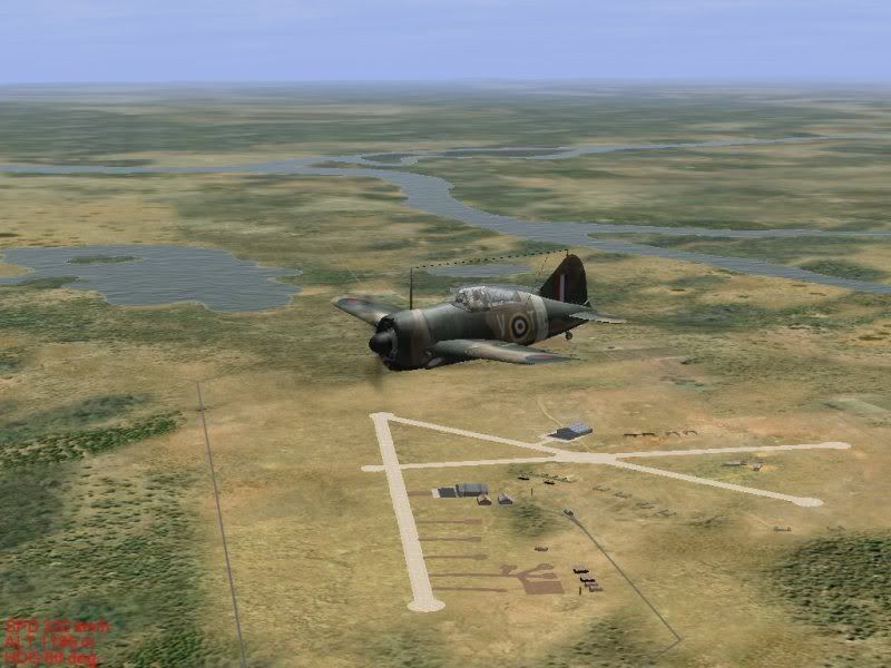
Mingaladon Airfield, Rangoon in the distance.


 Author
Topic: cztx_BurmLower v2.1 map (Read 8964 times)
Author
Topic: cztx_BurmLower v2.1 map (Read 8964 times)