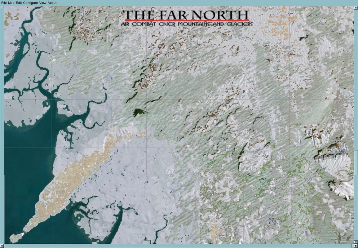
Here is a link for a new fictional map of a far northern territory somewhere. I was at a loss where to put the link as the map can be thought of as somewhere in Alaska or Canada or elsewhere.
In any case here is a download link:
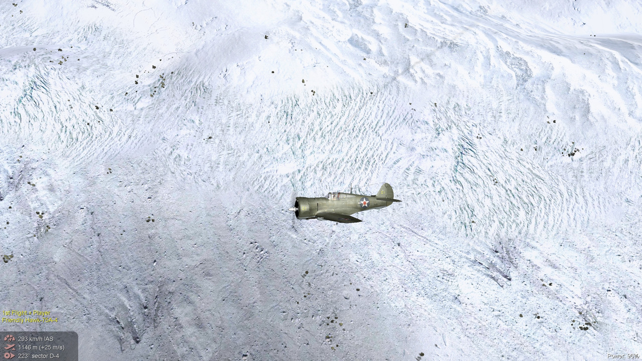
Downloadhttps://www.mediafire.com/file/0u24mpougbynfje/ag_the_Far_North.7z/fileIt is sparsely populated being in the frozen north, but there are a few towns here and there, a few basic airfields and a radio beacon/weather station up in the mountains. I made the lowlands so that they seem to be in the process of the spring snow melting. Meanwhile high in the mountains, things are a frigid as ever.
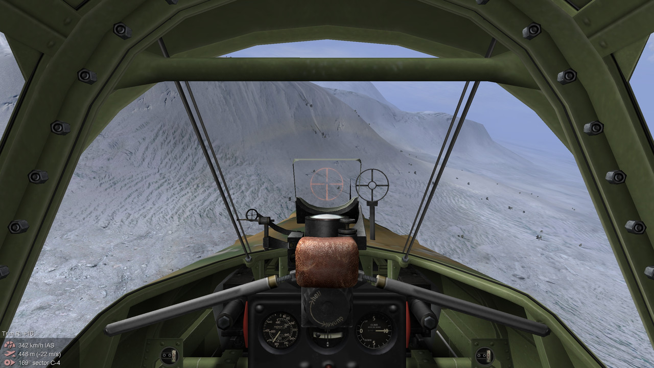
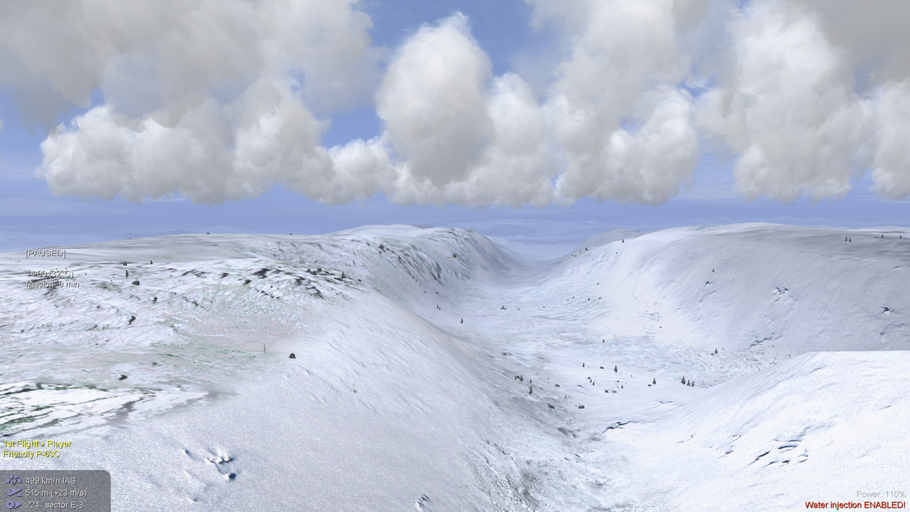
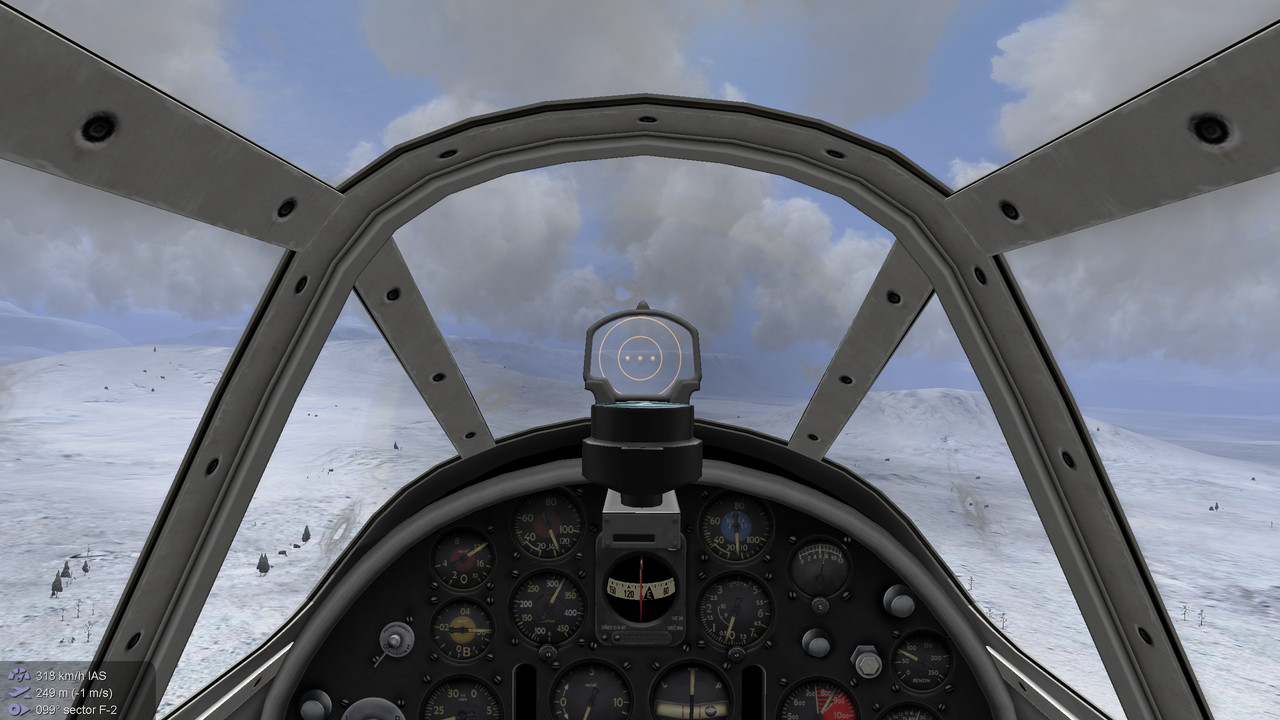
The map is mainly intended as eye candy while flying. The best flying areas are up in the high mountains among the deep valleys and high peaks, roughly speaking in the upper right diagonal of the map..
The ed map is a bit simple as I didn't have a true geographical location in the north to work from. I wonder if anyone can guess or find out where the actual terrain is modelled from. There is a set of BumpH files included which are supposed to increase the 3-D appearance of textures. I am not certain if they work as intended and have no idea how to test them. If anyone has any remarks on these, don't hesitate to share.
And if I may suggest to fly with less than optimal weather. Hazy and worse is better, as are the hours aside from noon ...
 Author
Topic: Map - the Far North (Read 2523 times)


