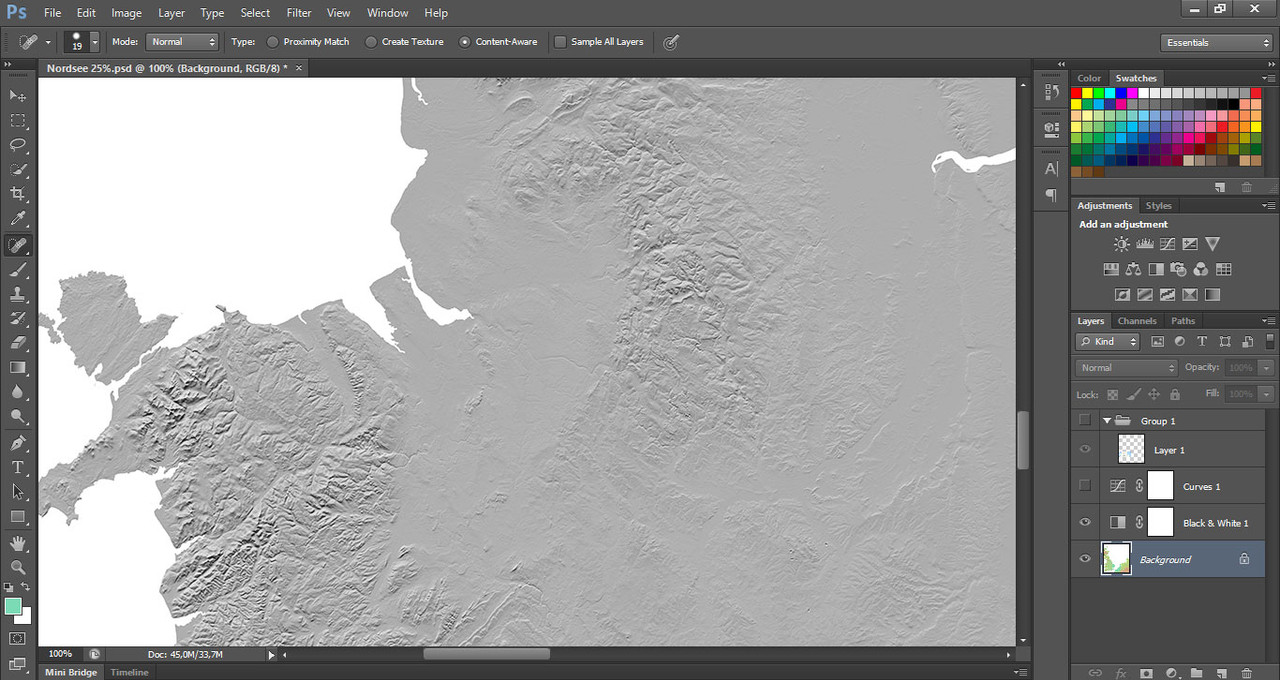
At the moment I am working on the coast lines of the stream data made with microdem. Last week I was near to the
channel working at the coast line of Portsmouth dockyard. With the help of satellite data it is possible to work out
the harbor shape exactly. It is also possible to determine the position of the rivers. Because the riverbed is
recognizable on the satellite data.
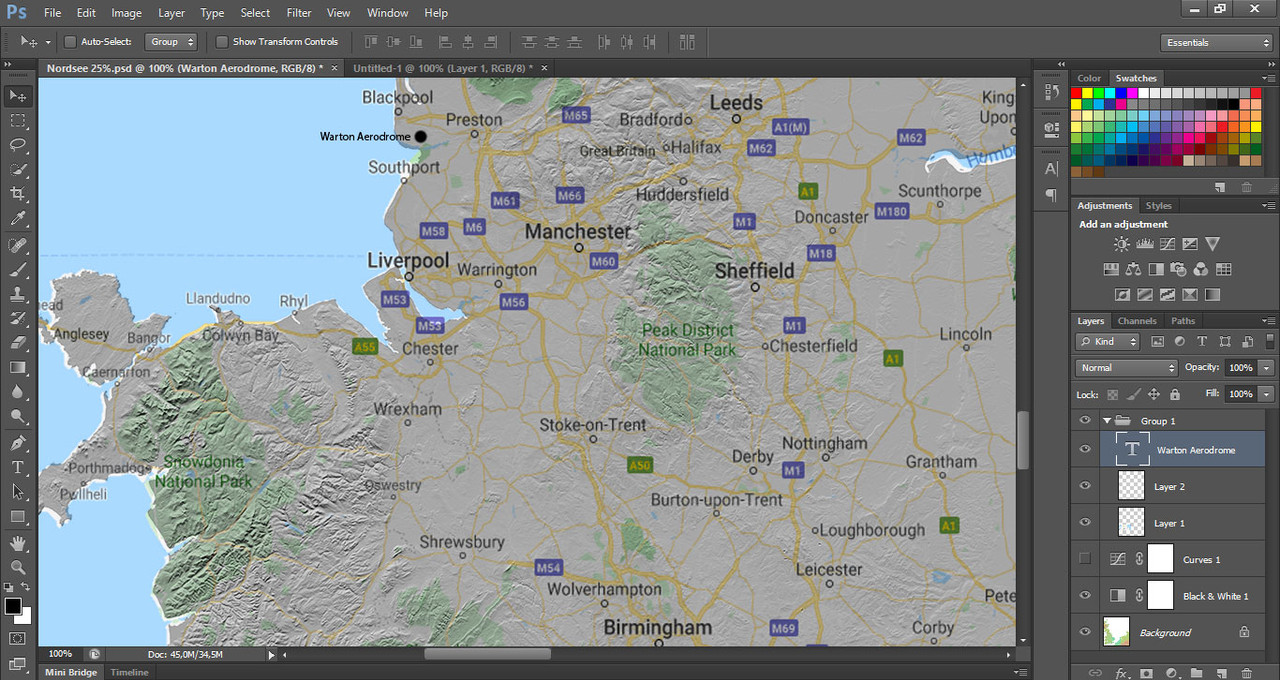
This week I am in the region Blackpool, Leeds, Liverpool and Sheffield. You say you live next to Warton Airfield.
This is exactly in the area of the map where I am currently working. Warton Airfield is between Blackpool and Liverpool.
And Wikipedia has some informations about this airfield.
That's what I call an absolutely positive coincidence.

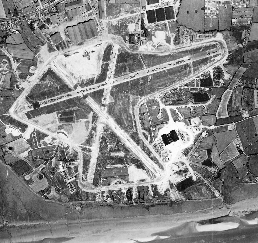
Well I know that there was this airfield and I even know what that airfield looked like at the time.
Because at Wikipedia there is a historical aerial photo of the airfield.

Next I will write down this airfield in my "Project North Sea" .doc with all the information I get.
After that I can screenshot from Google Maps a current satellite photo and in this photo the old
photo is inserted. This is the optimal condition for a texture, which I then insert into the map to
build the airfield on this basis.
This will look like this:
video exampleThe airfields in England often have the same structure in the form of hangars, sheds,
air towers, runways and parking lots. CanonUK has already designed these structures
for his map. That means less work for me.
Ireland and northern ireland will be on the map too and a good part of the atlantic.
The reason for this is the operation of the RAF in form of Atlantic patrols.
Incoming convoys had to be protected from German U-boats.
Video Author
Topic: North Sea 0.5beta (Read 53489 times)


