Perhaps my experiments of the past are of any use,
Me too used to play with pixels and grey values on map_c to see what the result were.
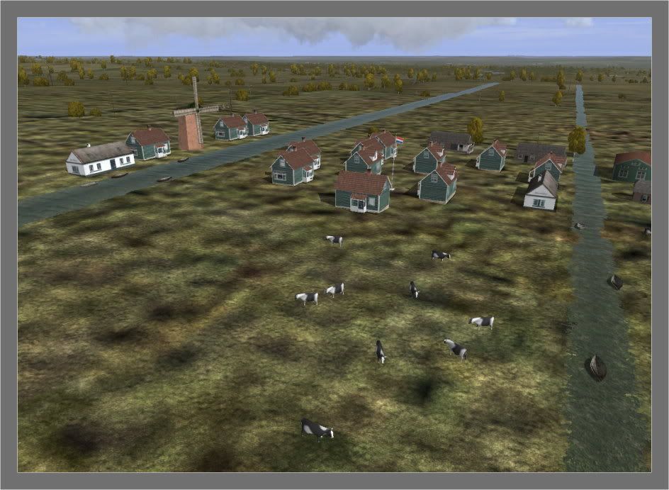
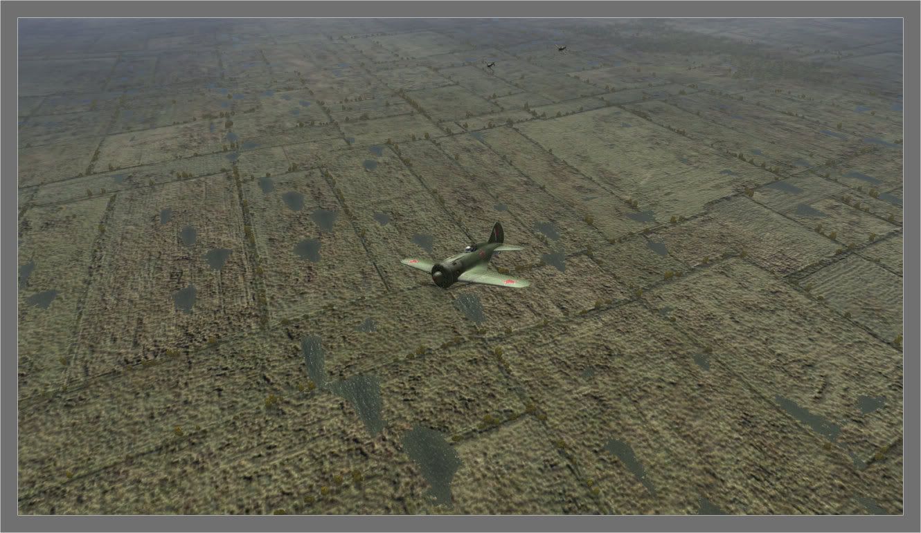
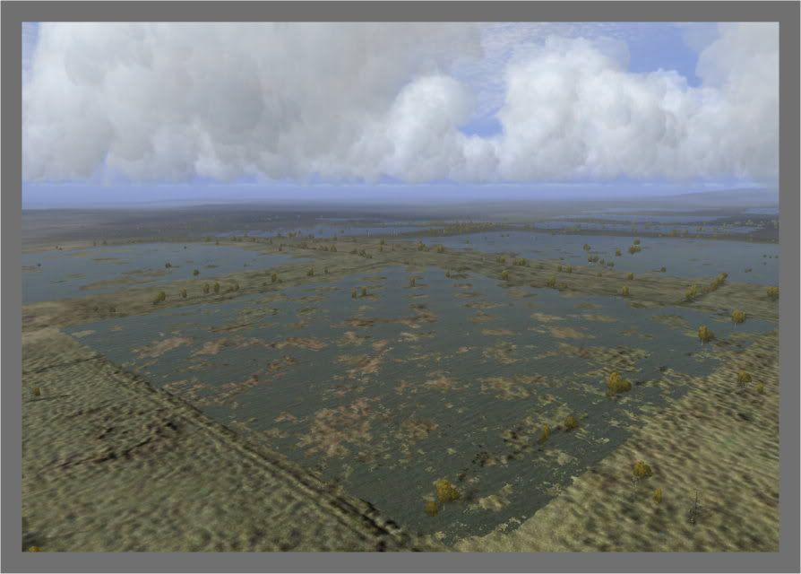
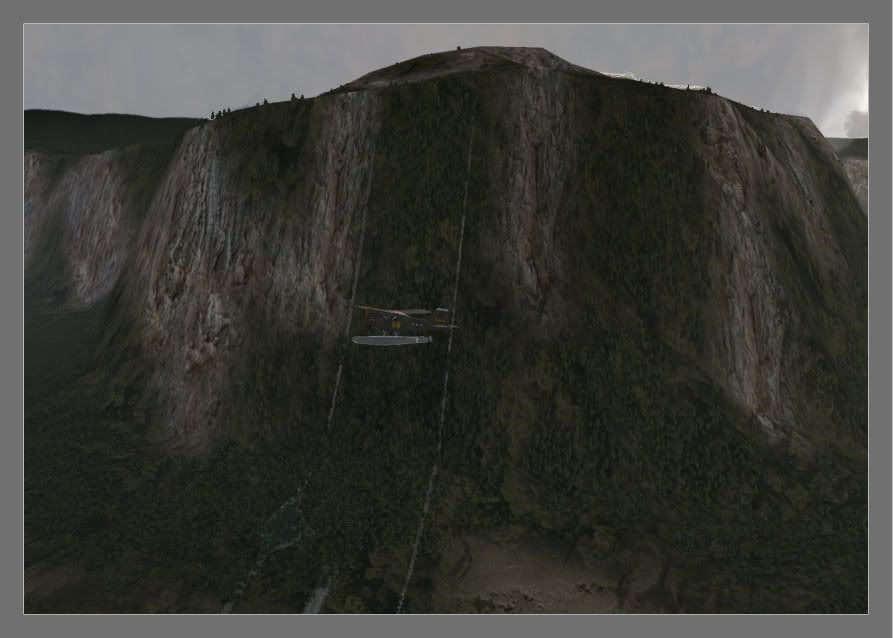
I dug up some old screenies and with varying pixels and their grey values you can simulate ditches, meadows with pools of water, paddy fields and even waterfalls.


I also noticed some interesting things during those experiments that when creating pools of water close to seashore you get surf in pools.
While adding extra waterfalls and copypasting their grey values in map_c to another place nothing happened. Not even close to the first one.
It also depends where to put waterfalls, on the wrong side of mountain water crawls up. So perhaps when you add a couple of brooks you will experience same issues.
From high altitude paddy fields look like square waterbasins. Getting lower and landtextures become visible.
About your last 2 screenshots: what happens if you change the grey value of the one pixel size river. Instead of let's say 95 applying 85 or 110?
Perhaps riverbanks become blurry and so that river looks smaller and more natural?
 Author
Topic: Narrowest river in Il2 ? (Read 6226 times)


