Hi everyone!
Another mile stone has been taken. I finished all the Swedish Airfields!
There will be 29 of them. Among them a few sea plane bases and some hidden airfields. This where mainly fields, which seem not to exist by at least 1940, but I want some spread across the country...
There are bases which have a runwy of 1000m and more, so heavy bombers (I tested them with the B17) can take off and land. I'm not using the pretty impressive BAT Mod, but I supose that jet fighters could take of there either (correct my if I'm wrong).
All other airfields could handle take off and landing of He111-sized airplanes.
I was trying to find historical pictures or maps or at least a note, that the single fields existed by at least 1940.
Here are some impressions:
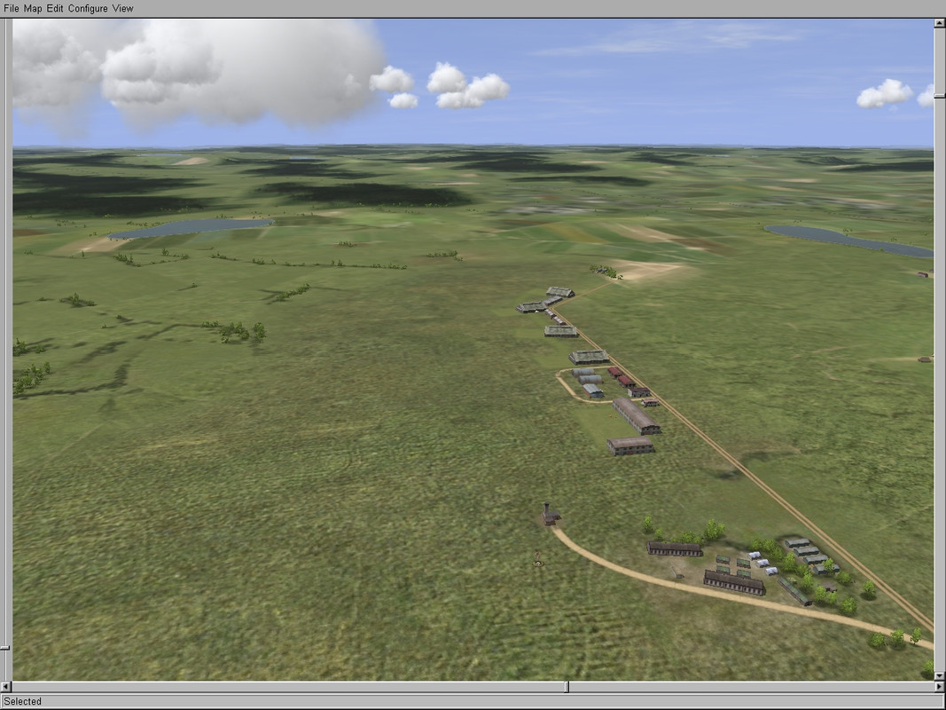
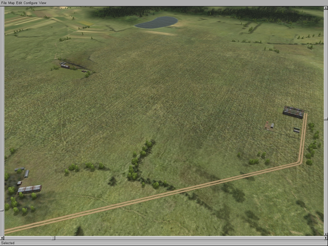
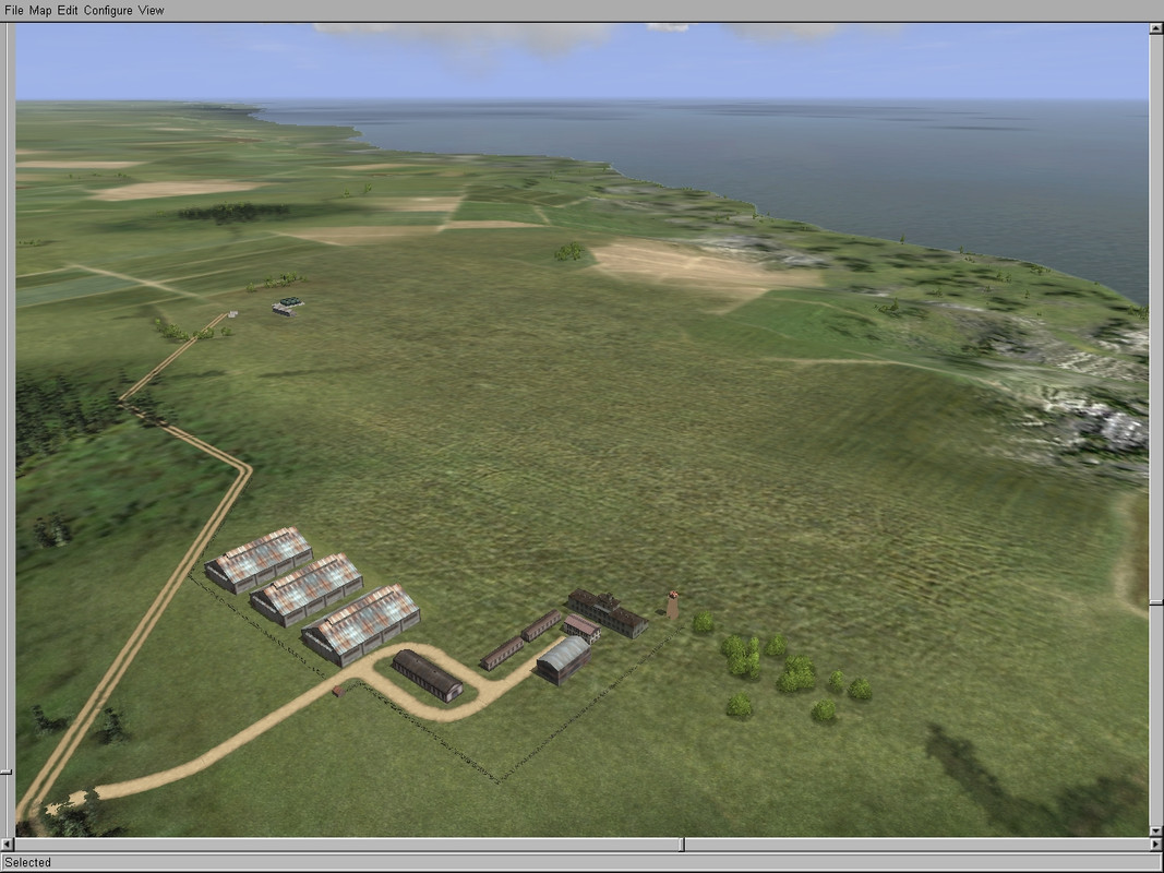
Eksjö Airfield
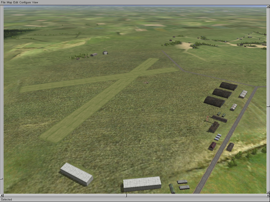
Eslöv Airfield
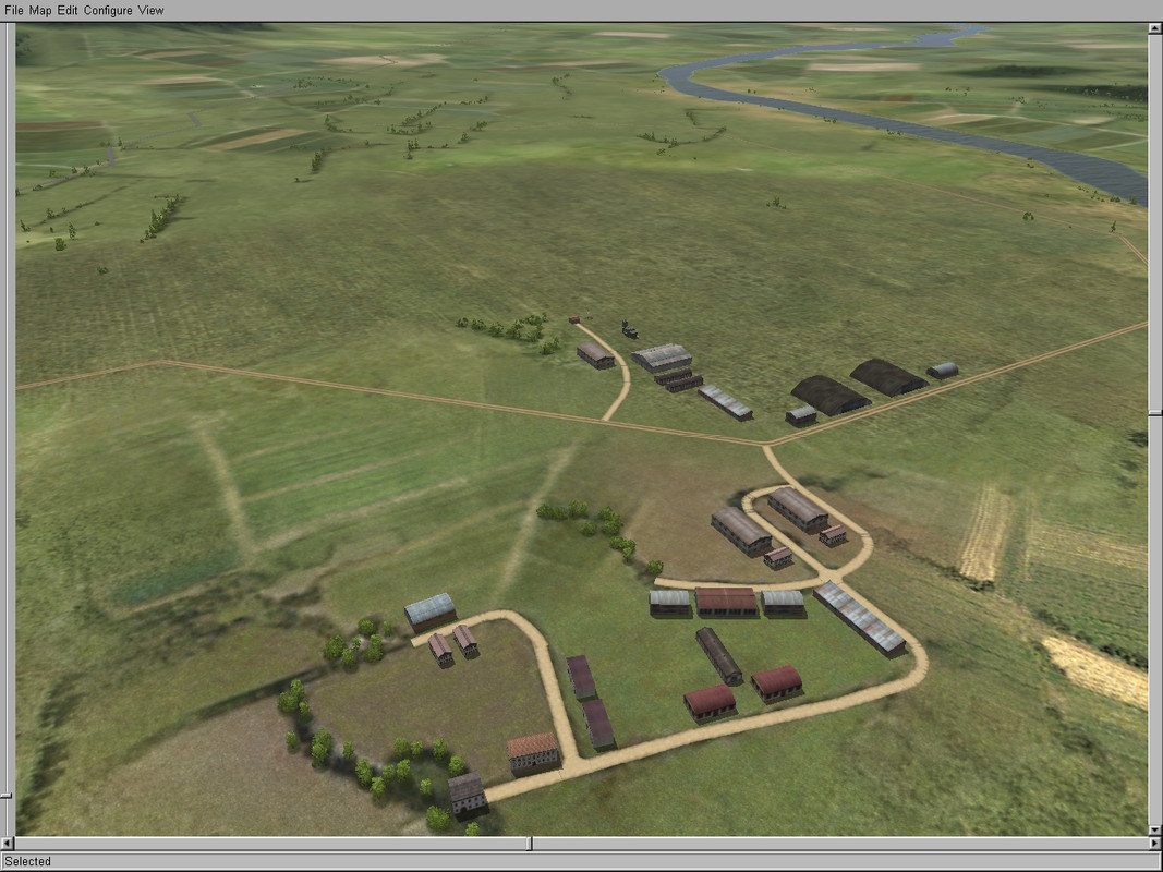
Ljungbyhed Airfield
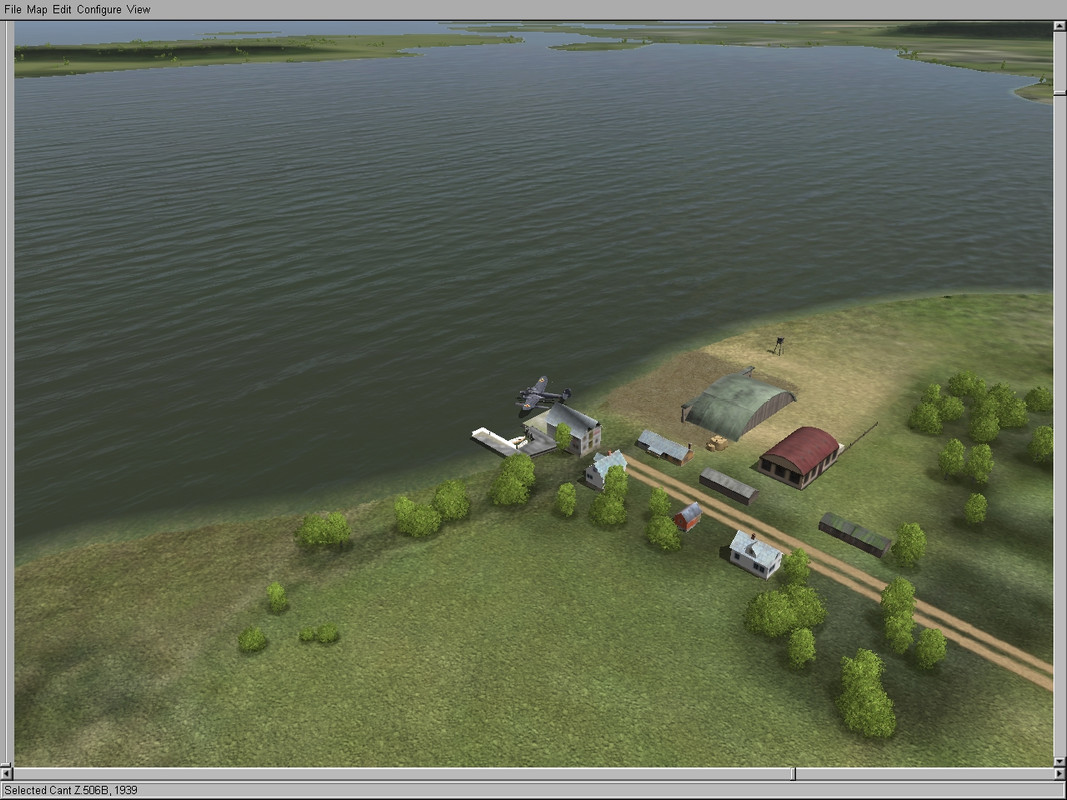
Västervik Seaplane base
I also started to add (my Il2 interpretations) of some landmarks. Maybe I will go one with that...
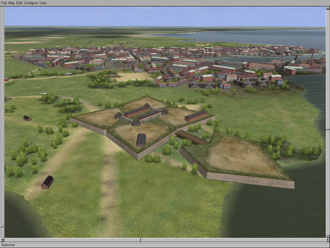
the Landskrona citadel
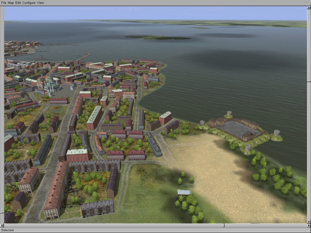
Castle and dom of Kalmar
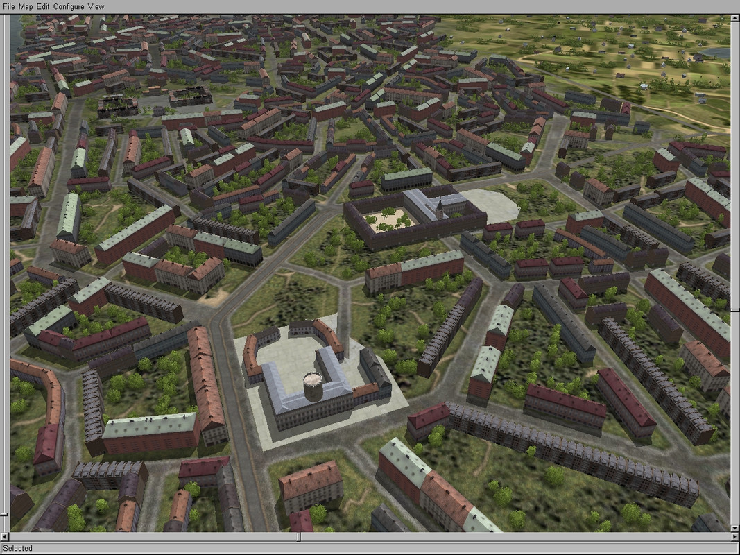
Castle Christiansborg and town hall of Köbenhavn...
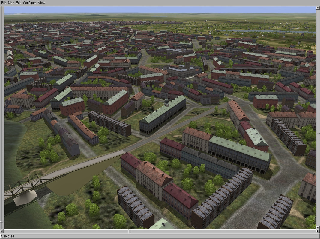
... and the stock exchange
Next step are the Danish airfields.
I allready finished two for testing.
the small airfield near Ry
and the Rönne Airfield on the Isle of Bornholm
Hope you like it.
And if you have suggestions like Knochenlutscher, please tell me.


 Author
Topic: Map of the German Baltic Sea (Read 48042 times)
Author
Topic: Map of the German Baltic Sea (Read 48042 times)