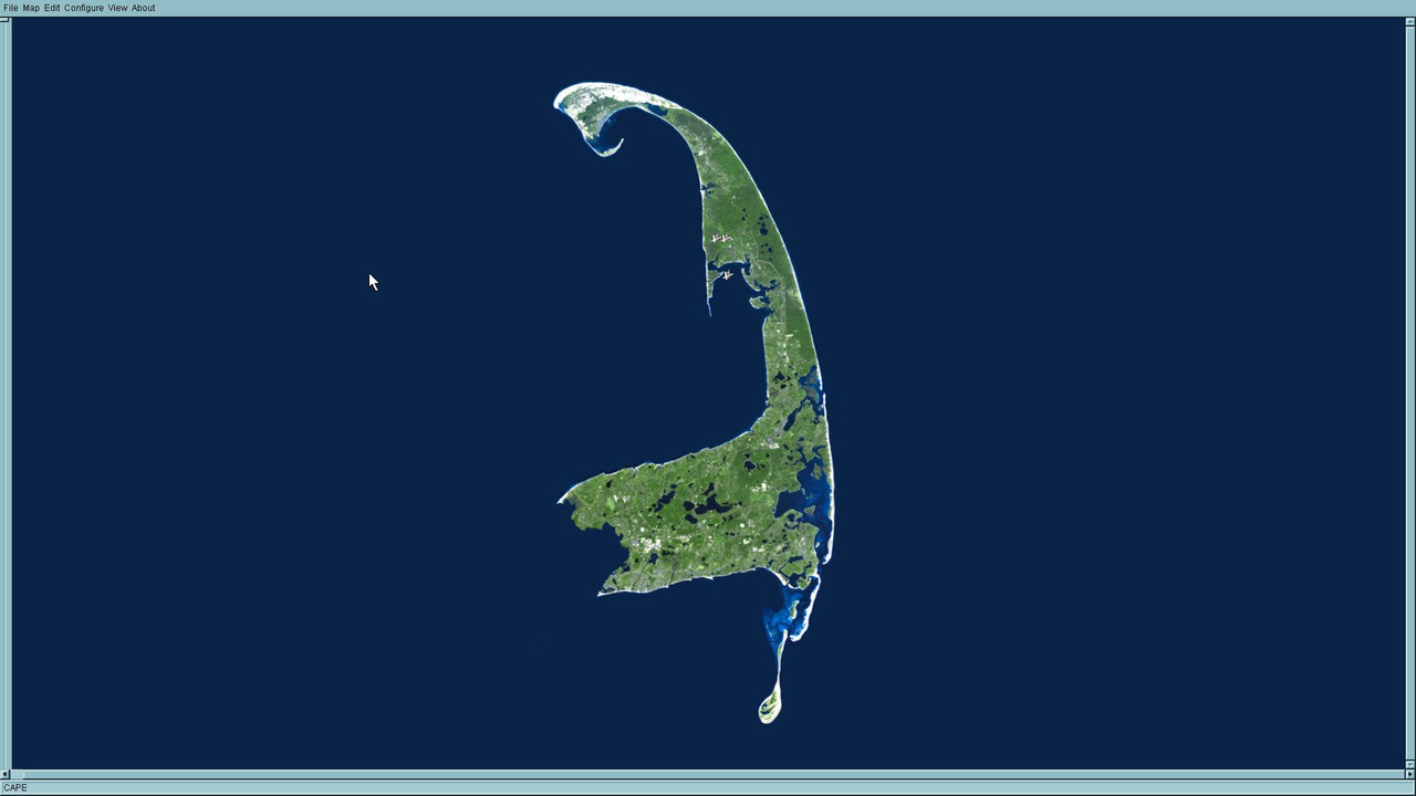
The reason I first got into MODs was just to make a map of my house. So, here's a map of the area around my house. It's a basic "KevinP" 101 map, mostly default texturing. Maybe some day I will work on a proper texturing, but probably not. It does have some features that may be unusual. I was able to get some high res DEMs for my area (10m/pixel instead of 30m/pixel of the SRTM data.) So the x/y resolution is better than a standard mod map, I think. It took some work to get the info to a format that would be usable in IL2. I had to manually manipulate the height map to make it work. The heights are exaggerated but not ridiculously. (The actual sealevel height to the highest point on the map is only about 150ft. It would have looked
REALLY flat if I hadn't customized the heights.)
It was tough to get the DEMs to work in Microdem, the 64-bit version wasn't fully functional at the time, it kept crashing. So I couldn't get all of Cape Cod and The Islands to load in Microdem.

It's a fun map for me to fly on, with a little brain-squint I can imagine that I'm actually flying around my house. James and Chris_Blair might enjoy it, since they have both probably been in the area. (I know James has.)
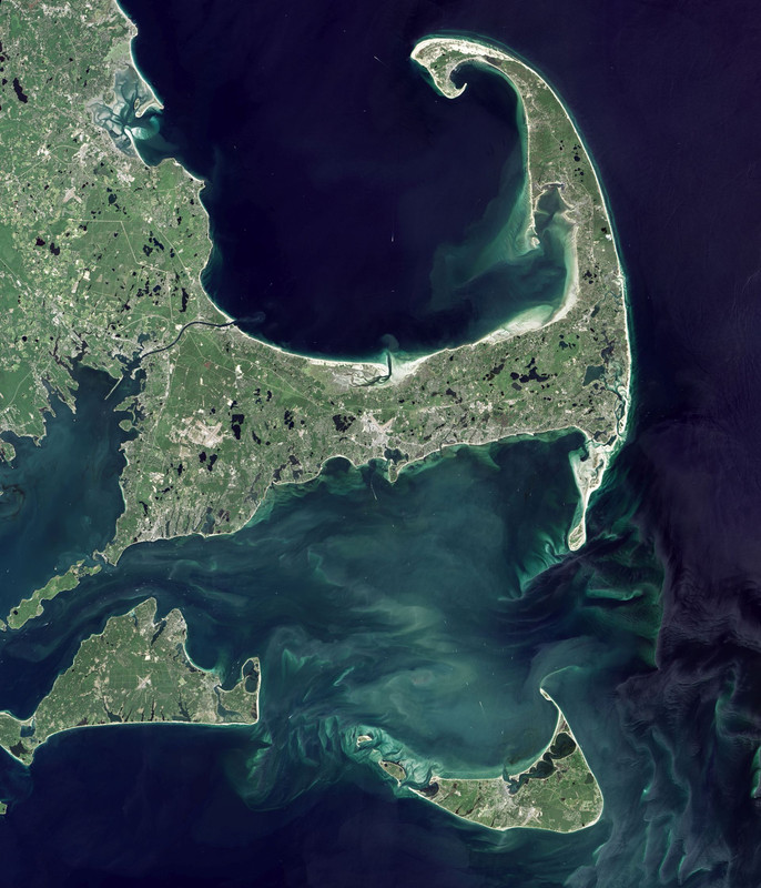
I found a new satellite photo to maybe work on for a new ed_map.

Enjoy! Cloyd
https://www.mediafire.com/file/9mglcy2e99jbu8n/CAPE.7z
 Author
Topic: Cape Cod map (Read 3499 times)


