Any news on your heightmap creation tool Stainless?
Actually yes.
I am using a new system.
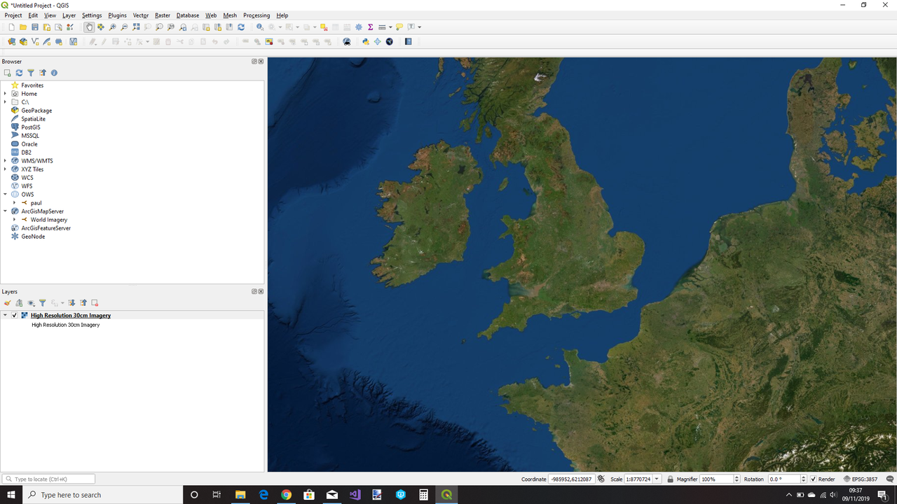
It starts with QGis, a free download. then connect to to ArcGisWorldMapServer (for free) and select the area of interest from anywhere in the world.

I then run the SRTM downloader plugin (again free) which will grab the height data from Nasa.

Then I run the QMetaTile plugin to get surface textures. It downloads satellite imagery for the selected region at a range of magnifications.
You end up with a bunch of directories , one per magnification level, with a bunch of textures in each.
At the moment I am trying to figure out the naming convention for these textures.
Once I have done that I can modify my existing tool to use this data.
The question is what do you need?
Do you want something that matches the existing map data format. So scan the data and generate a type map? Or do you want what I am doing for myself, a heightmap and a texture set?
At the moment my code is very fragile and not very good. I just tried to generate an IL2 map from within my tool. It ended up 11112765 by 13224444 pixels and ran out of memory

 Author
Topic: graphics extender (Read 305550 times)


