The link below is updated to V1.1 of the map. For further details see post no. 12.
Allready fixed in the download:
Missing groundpoints for the AI Comrades added.
AI parking positions flaw fixed
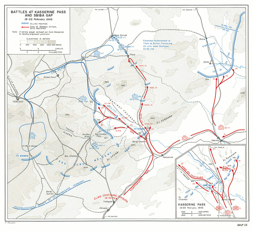
The allied landig in Marocco and Algeria found little resistance. So the axis forces, even to weak to beat the british troops and their supporters from formerly and current colonies alone, found themself suddenly in a two front war. In Russia, it's November 1942, german advance has been stopped and the time of defeat and retreat began. Best conclusion may had been to leave Northafrica immedeately. Instead the axis troops turned eastern to stop the allied troops, who meanwhile reached Tunesia. Here it came to a series of battles. The best known of these is the Battle at the Kasserine Pass in February 1943. This was also the last time the axis airforce was a thread for the allies.
Btw: Red ist blue here.
Mapsize is about 200 * 150 kilometres.
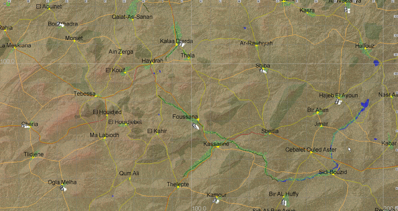
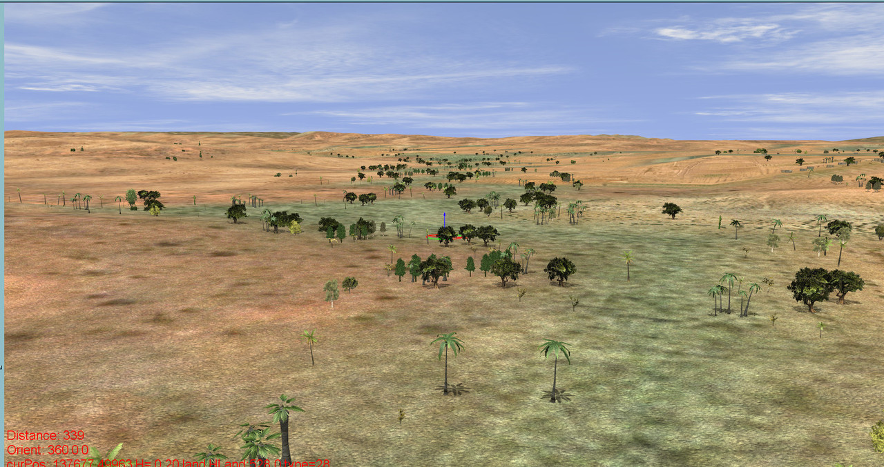
This area never was a empty desert but populated and cultivated for thousends of years. But agricultural areas must have been much smaller then today in the past and also in the 40s due to the lack of pumps and energy. So i made them quite small, but they were there. The same with towns and villages, even if population was small. Kasserine, a administration center, is said to have had only 3000 inhabitents in 1956, the year of Algerias independece from France. So in the 40s it might have been about 2000 (today about 90.000). So my Kasserine is possibly even a little bit to big here:

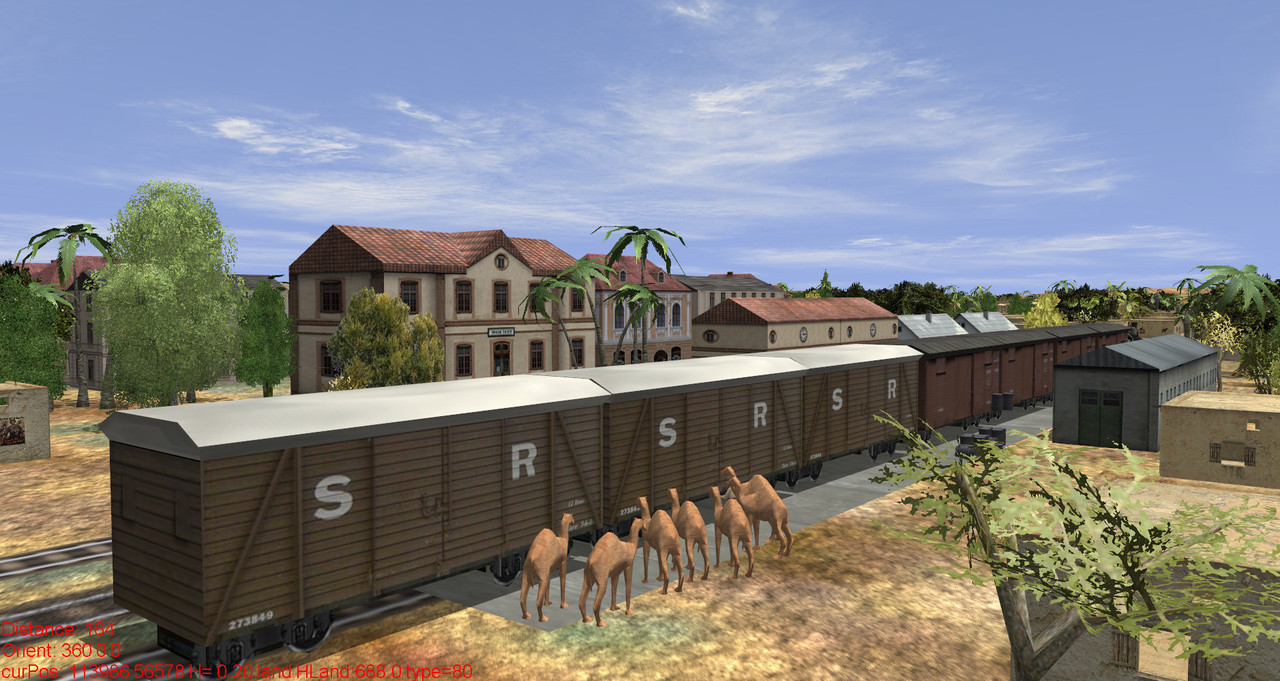
Tebessa, a allied supplies center, the goal of an axis attack that failed at last. There is quite the same supplies center on the other side a little bit northern of Majel Bell Abbes. No anti aircraft guns are installed yet.

The Pass of Kasserine. In reality, as you clearly see here ;-), its more a plateau between two hills. It's also nearer to Foussana than to Kasserine. Never mind. There was a road and even a railway, also this was a narrow-gauge railway.
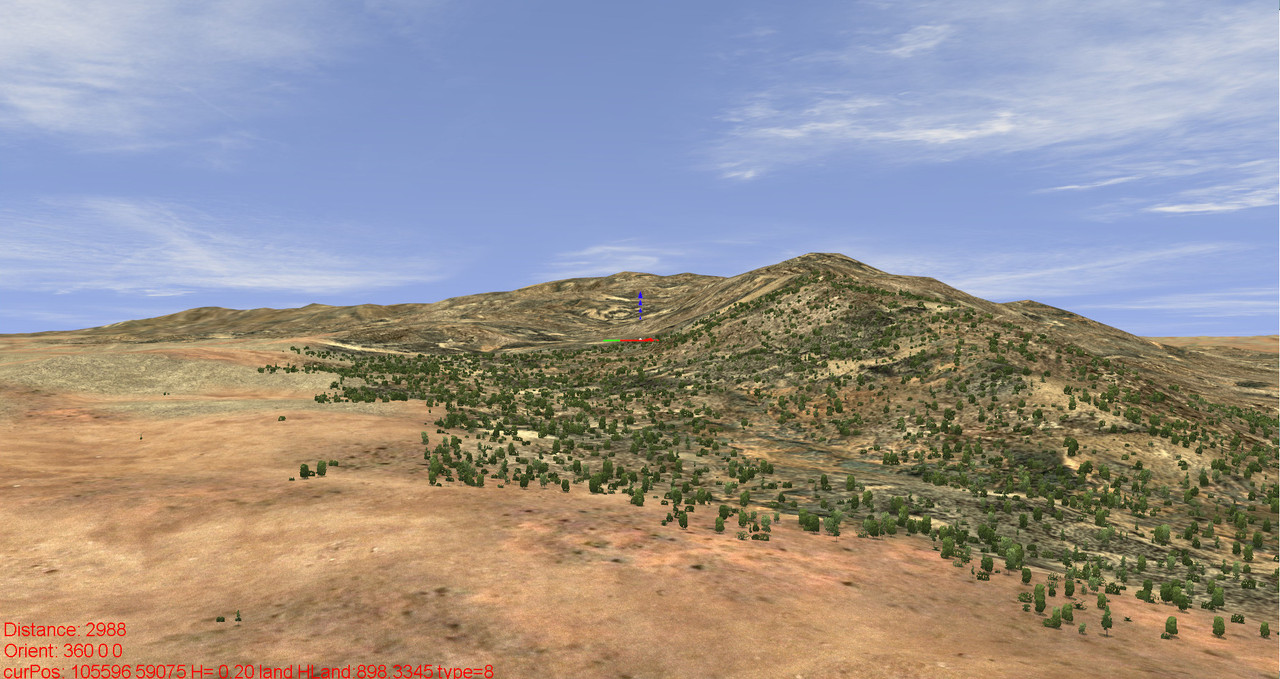
I don't know what this is, but it looks like it looks. Very different from the surrounding and trees find water here. Must be a kind of geological anormaly. Or aliens landed here a long time ago.
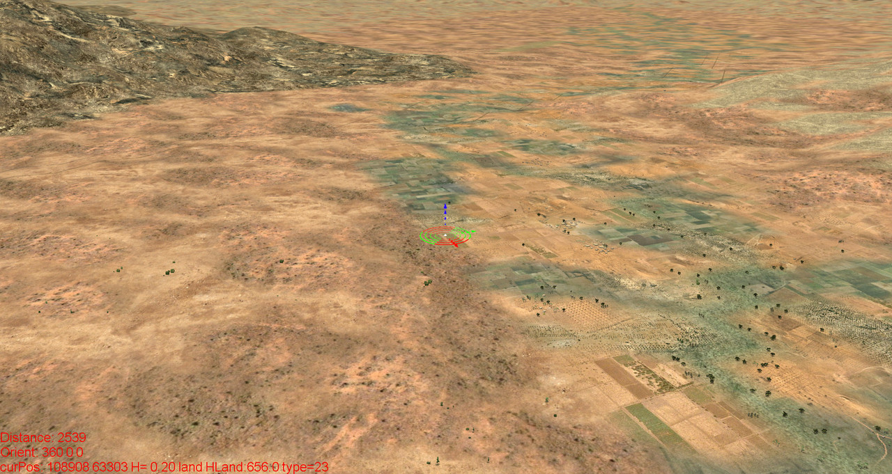
I kind of river. No open water, but also not dryed out. There are some small rivers in this area, but they can't modeled here due to the limitations of the game engine. The texture is really not the best.
Airfield. Not much to see here. Just a field airport. Airfields are not historically. You will reach an area of interest quite soon.

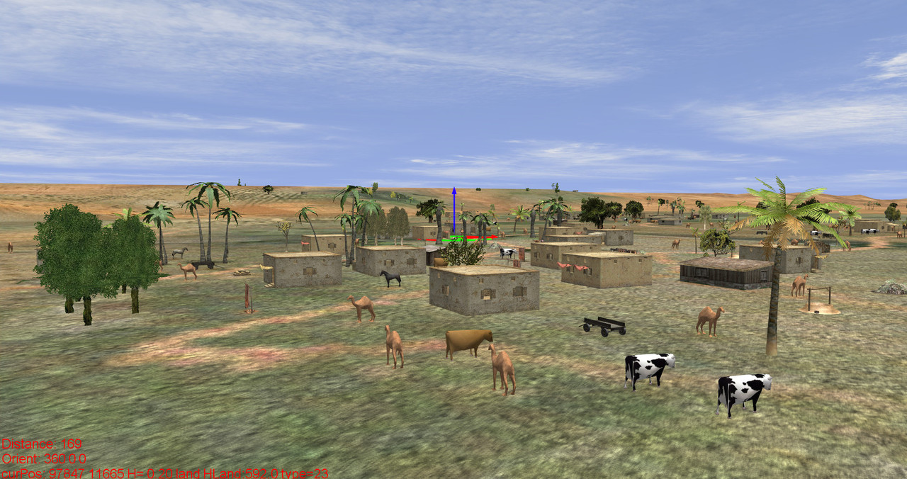
Rural scene. Please don't shoot the camels. And also cow and horse like to live.
An unexpected journey.
You may download the map V.1.1 (see post no. 12) here:
https://www.mediafire.com/file/mof99a837z816nb/KasserineV1.1.7z/fileInstallation: Throw the "maps" folder into that folder, where your "maps" folder for modded maps is :-)
Add to your all.ini:
Kasserine Kasserine/load.ini
The map saves with VPmedia and also with BAT, but the big (693 Kb) static.ini is needed here.
Textures mostly by ag and red_kolya.
Original supplies center by the author of the Ju88 Afrika May 1941 campain.
Towns and villages created with CityBuilder. This was the very first very crude version. The last version is even much better. See the WIP maps section for that.
Map populated with ObjectSet. Also maps WIP section.
Flying over the landscape, i'm not content with the texturing and some details. I hope to change this when i have an idea how to make it better. For this the map is in the WIP-Section.
Nowekat


 Author
Topic: Battle of Kasserine Map (Read 8496 times)
Author
Topic: Battle of Kasserine Map (Read 8496 times)