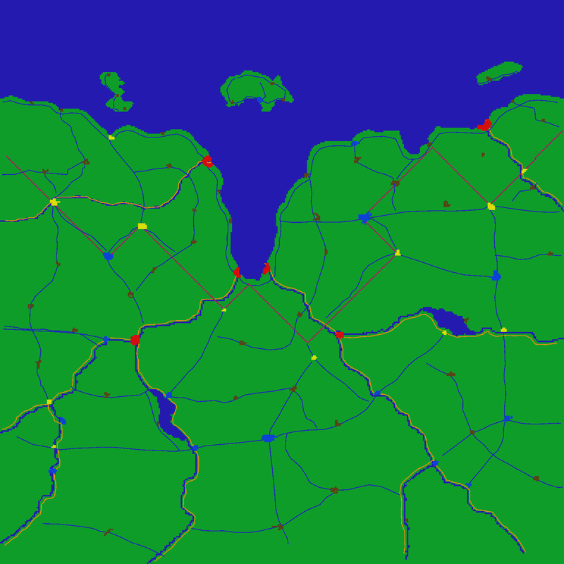
Instead fixing the airports of my Kasserine map, i started a new map a last weekend. It's quite small, about 75 * 75 km. And a part of it is water. Water is the map modders best friend, as you don't have to texturize and to populate it. Possibly i embed the map into a bigger one to avoid the map borders. Here is the basic map:

The bigger island is called red island, even there is nothing red. Some say, the original name was rat island for an onknown reason, but as the inhabitents did not like this they choosed an other name.
The hight map looks a little bit strange, as it's partly computer generated:

There is not much to see at the moment. I started with the roads this time. The yellow-red lines are highways with parallel railways, the red line is a railway alone. The blue lines are country roads. Many of them also with parallel railways, but i forgot to mark this. Some roads are a little bit to short.

A country road. I planted lines of trees along all of the roads. Sometimes they are denser, somtimes more sparse.

A rail crossing. In the background an other road, notable with the trees:

A river, about 100 meter wide. More trees. To many trees? Well, with the right textures i hope this will look much better.

Thats all at the moment.
Nowekat
 Author
Topic: WIP map SWIEurope (Read 2762 times)


