Hi all, thanks WxTech and sakai,
that's a pertinent question WxTech and we truly apreciate all kind of suggestions !
Nowadays, totaly out of control rain forrest devastation has reached an alarming scale in Papua New Guinea

Modern imagery has obvioulsy been used in the process of creating textures and assigning them thereafter. But not only, and from a far. Many historical datas, along with black and white pre- (Aussie administration) and actual ww2 era pictures, have been collected to help us aprehend what PNG must have looked like back then.
That said, we’ve tried to pay as much attention as possible to what had actualy changed, by instance, when Yann first extracted topographic datas to create the map, we ended up with many lakes : we quickly found out that many of them were modern days artificial pump storage hydroelectricity lakes. Those bad boys were seeked and removed.
That below WW2 allied intelligence chart, among many others we gathered thoughout the web, proved highly valuable. It clearly shows PNG wasn't just about thick rainy forests.
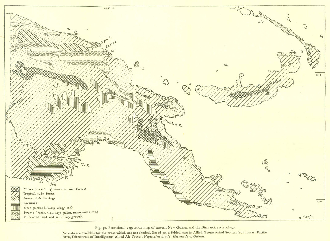
Now, let's see how can a decent batch of pictures of the era come handy. Goodenough, an island Yann has thoroughly researched and worked on :
Vivigani airfield
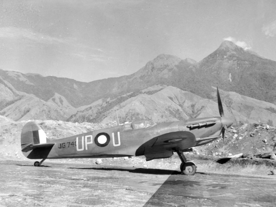
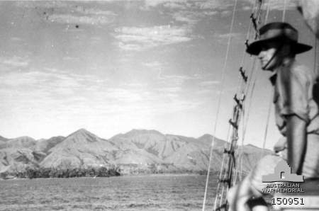
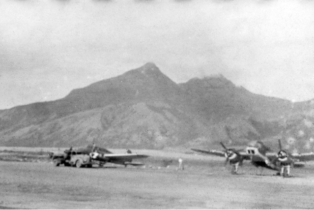
Those pictures leave no doubt, mountains and hills are covered by open grasslands, from their base to a height of a few hundreds of meters, when not up until their top.
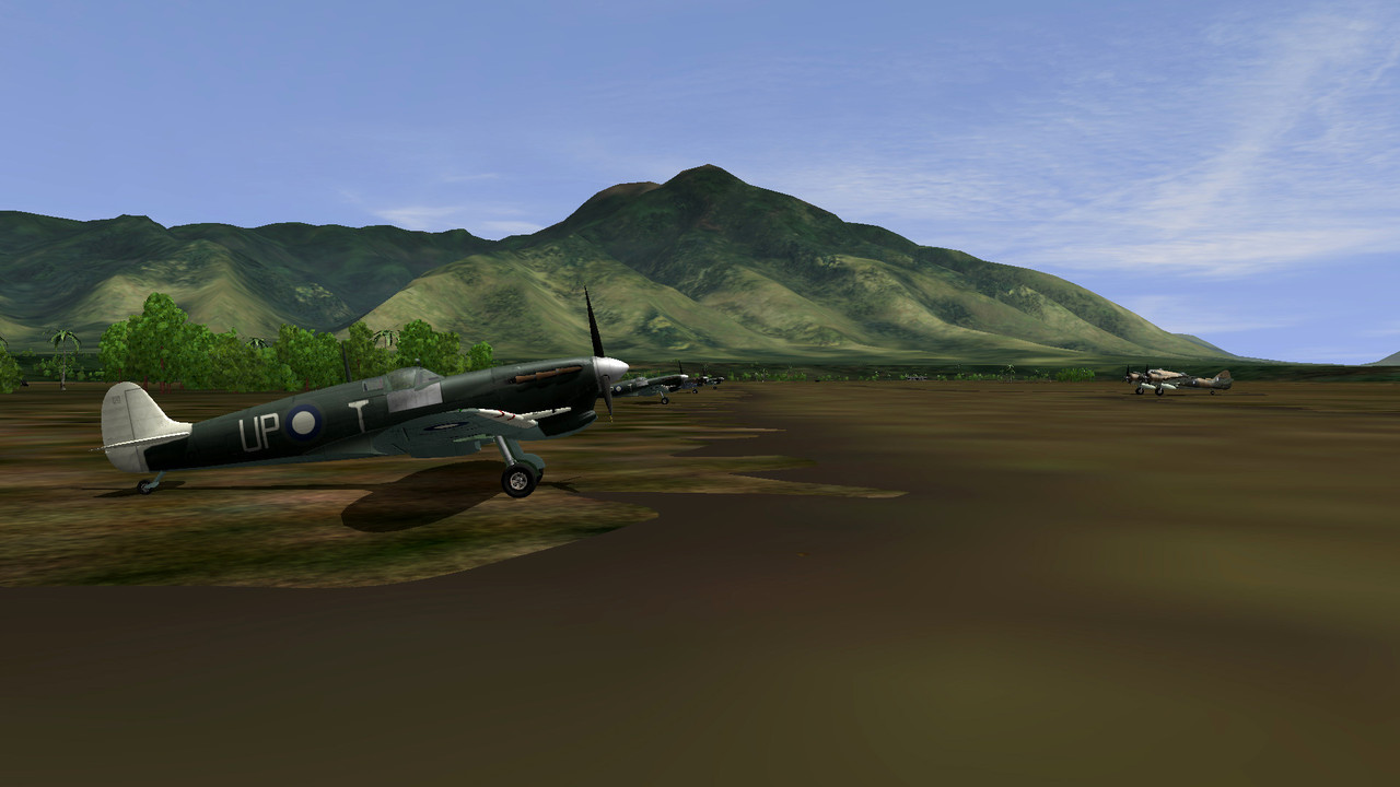
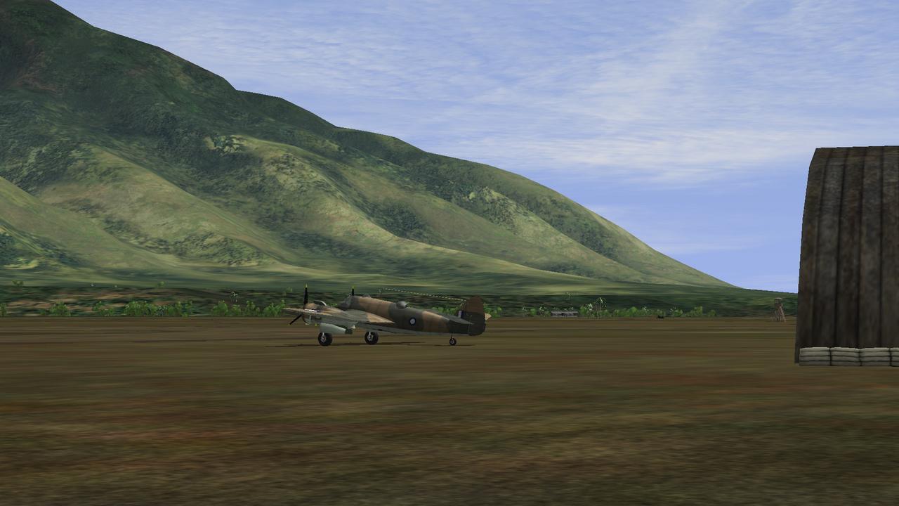
Simply trying to stick to those photos, below is the scenery result we came up with :
Let's go mainland and take a look at the Wau valley (note the Markham valley looks quite similar)
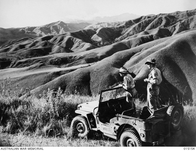
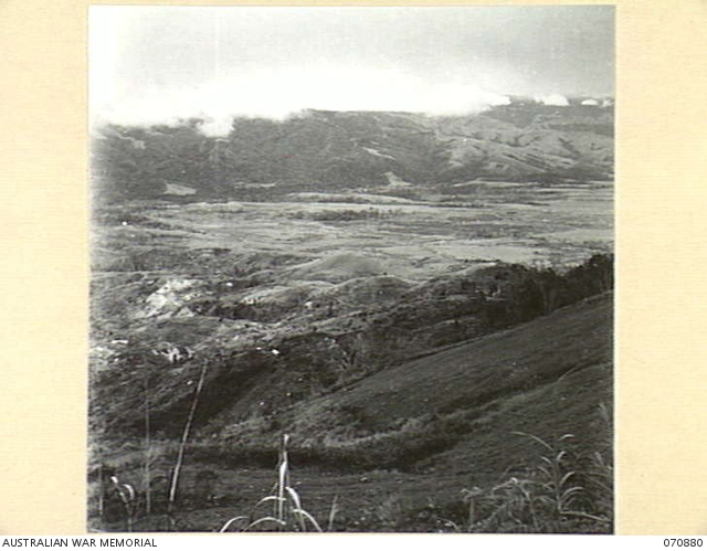
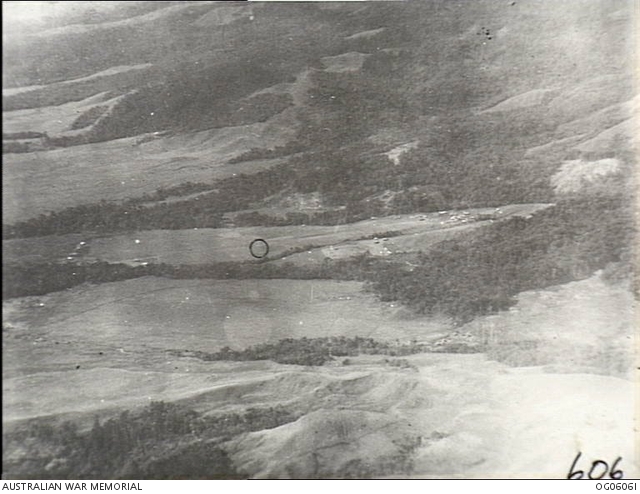
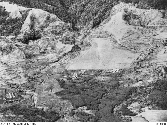
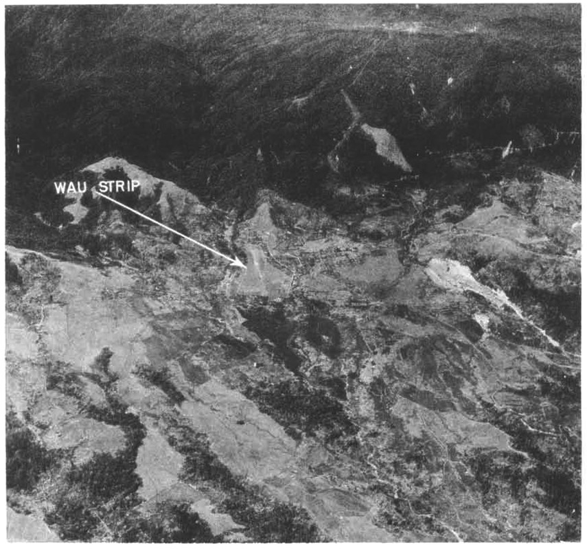
Once again, quite telling : grasslands as far as the eyes can see are observed and forests are down to poor tiny patches surrounded by large clearings and perhaps cultivated areas. This part of our map is still WIP, but the above scenics are definitly what we'll try to aim at.
Moving south to Port-Moresby coastal region, the PNG vegetation chart posted above states it's mainly "savannah". Pictures below tend to confirm that :
Kila-Kila, known as 3 miles drome
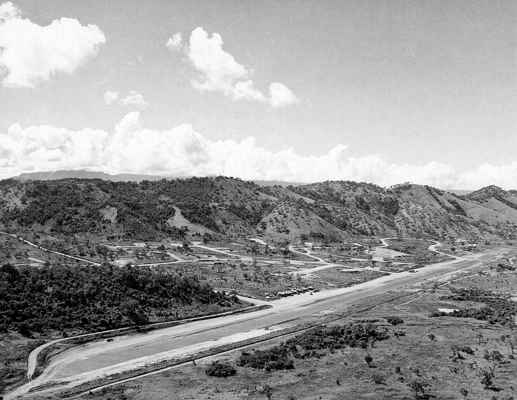
The town of Port Moresby
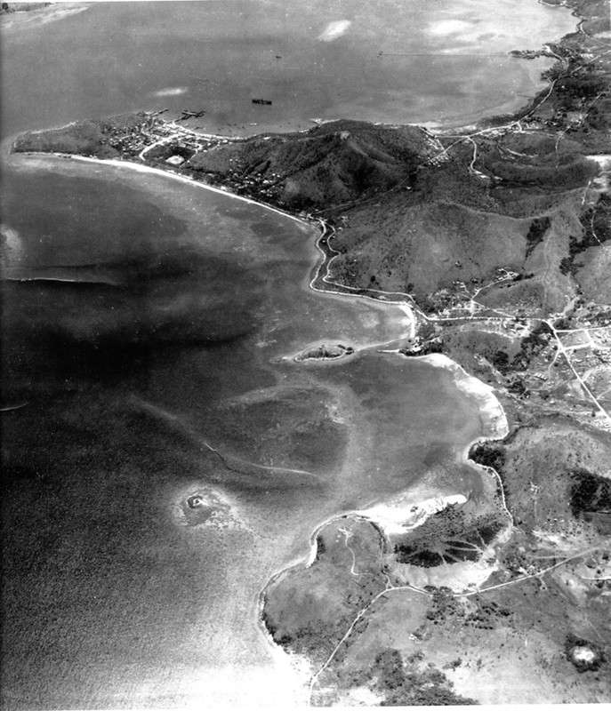
Here as well, seems not to be a matter of tropical forest all around, but rather isolated woods, bushes more or less dense, row of trees on hilltops, but basicaly we’re left with a dry savannah covering a good part of the coast to the shores, with very few sand beaches, if any.
And below is how we tried our best to interprete it :
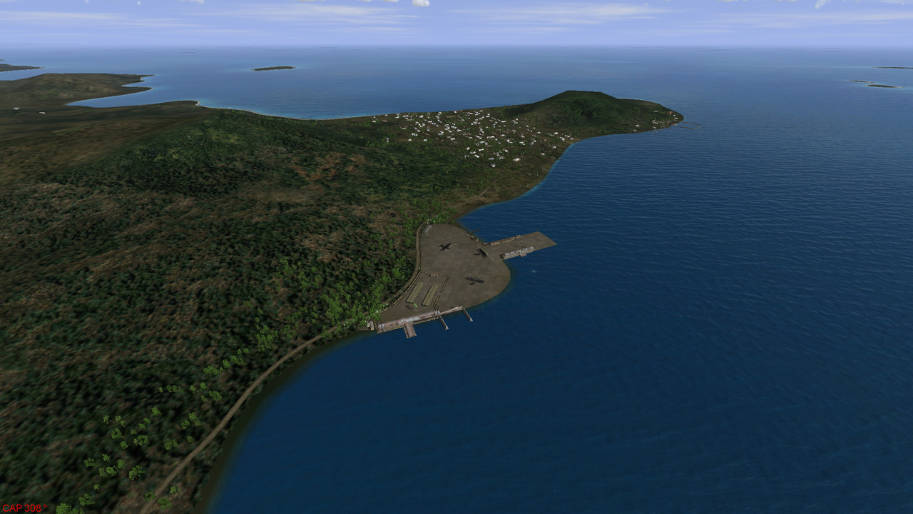
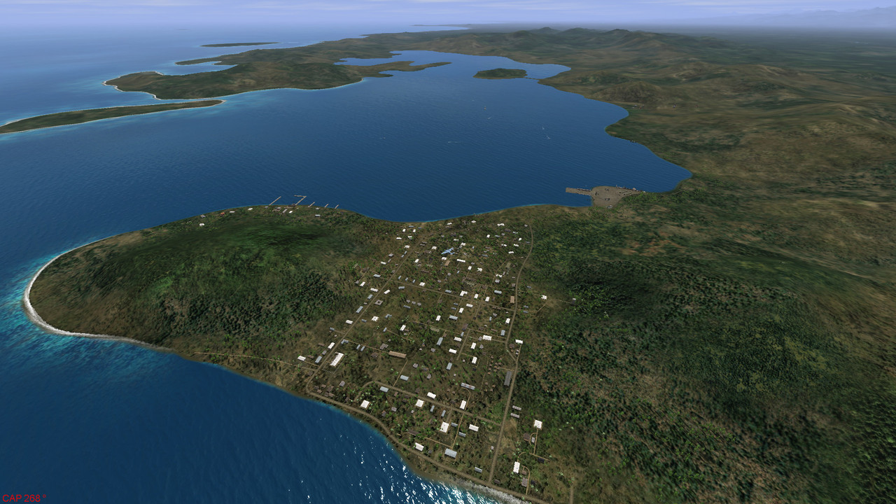
Now, that being said, our map must be covered a good 85% with thick forest, after all that’s why we named her "Green Hell"

Happy Easter !!
 Author
Topic: GREENHELL 1942 (Eastern New Guinea and New Britain WIP) (Read 68777 times)


