Hello everyone
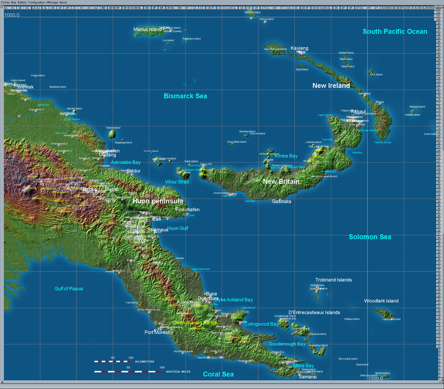
After more than a year of absence, I am offering you a new extended map of New Guinea.
This was long overdue at the bottom of my hard drive and although not completed, I think it deserves to be shared.
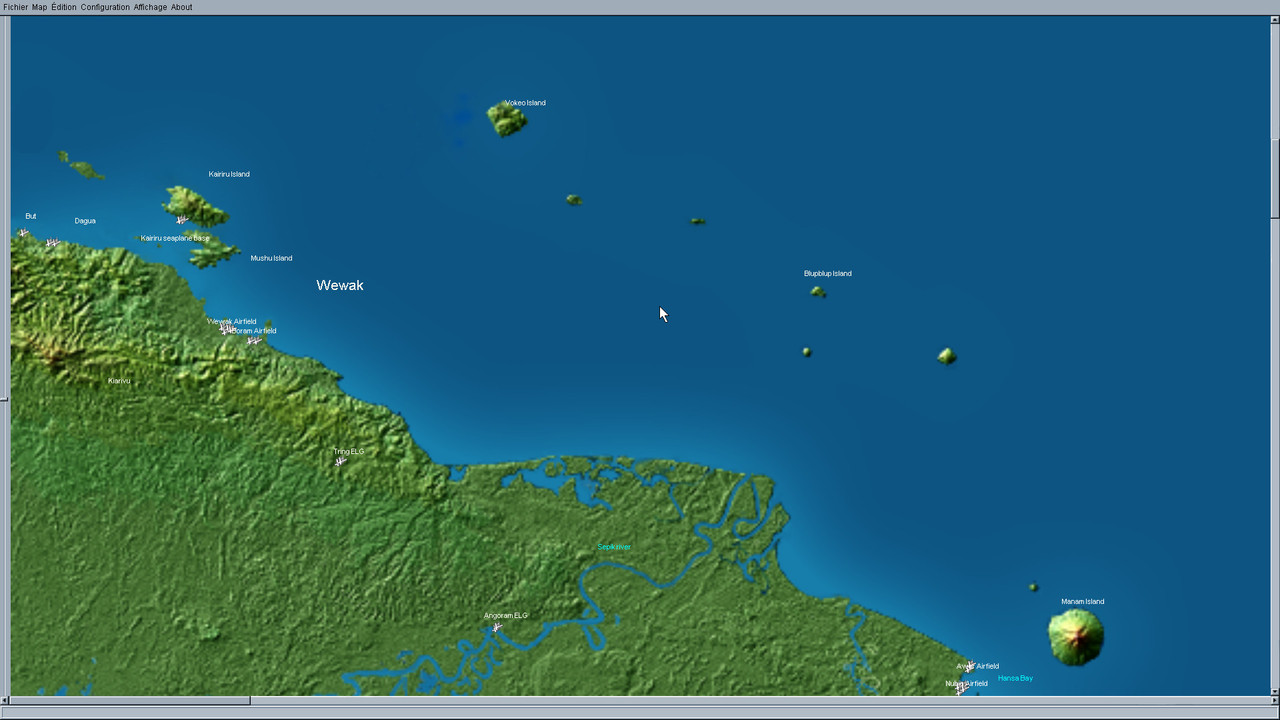
This map offers the possibility of flying to the north coast where we find But, Dagua, Wewak and Boram but also Nubia and Awar airfields bordering Hansa Bay. It is also possible to carry out missions from Emirau Island.
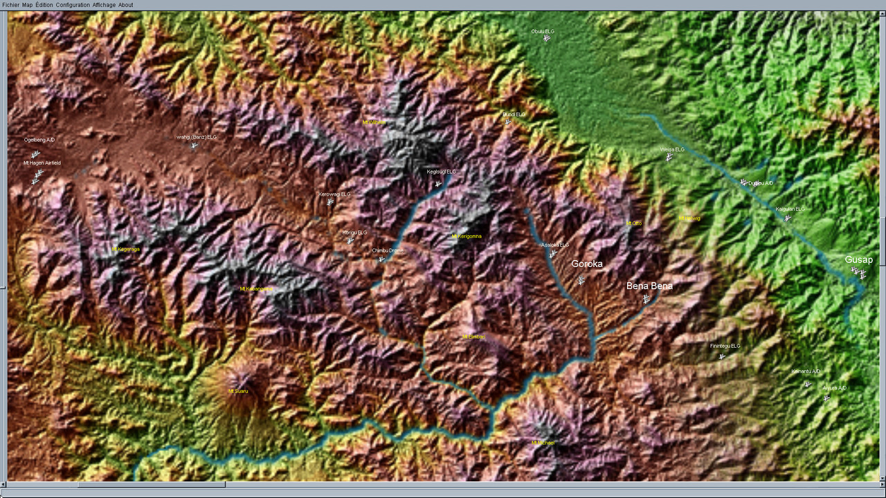
The highlands' area is also covered from Mount Hagen to Goroka and Bena Bena. Some quite mountainous places where Japanese bombers (and fighters!) also visited.
Some airfields have been improved, and many small airstrips have also been added in accordance with ww2 Australian maps, most of which are available on the Australian National University website:
https://openresearch-repository.anu.edu.au/handle/1885/112364The only main airfield missing at the moment is Nadzab... that's why I am talking about an unfinished map. I hope my old friend Kevin will find time his year to achieve it for a complete "Green Hell 1944".
The main issue encountered while extending the original map to the west was the game limitation... Just like in La Chute map, AI planes are unable to fly east of the "DW" meridian, so places like Borbop, Green Island and Woodlark can't be planed in missions, but you can fly there manually.
This is not a big problem in my opinion, as it much more interesting to fly on the western part.
I really hope you will enjoy this new version of Green Hell and wish you the best for this new year !
Download link:
https://www.mediafire.com/file/b3fuew3hsa9evz8/%2521%2521MAPMODS_Green_Hell.rar/file


 Author
Topic: GREENHELL 1942 (Eastern New Guinea and New Britain WIP) (Read 66155 times)


