update January 09 2020
DOWNLOADhttps://www.mediafire.com/file/7sxffbl6z10jj2j/%252B%252BGreen_Hell_1943%252B%252B%25282%2529.rar/fileHello everybody ! ...and Thanks God it's friday


This is a re-post of a batch of screenshots previously and wrongly posted in the "New memers safety area" where it didn't quite belong, sorry, believe it should be more apropriate to drop this in here, so here it is

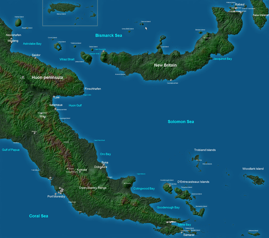
Below is a our map - named Green Hell - ranging from Port-Moresby to Rabaul or Madang to Milne Bay, even further to Woodlark or Samarai Island (for Catalina lovers), for those of you who likes long flights, it takes around 3 hours + to fly between two opposite corners of the map

Now a few screenshots :
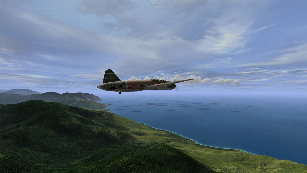
Escaping Milne Bay back to New Britain
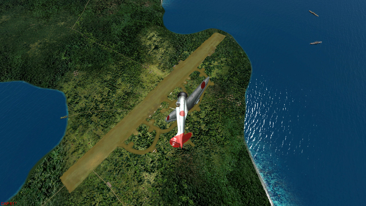
A few A5M4 were shortly based in Gasmata, New Britain
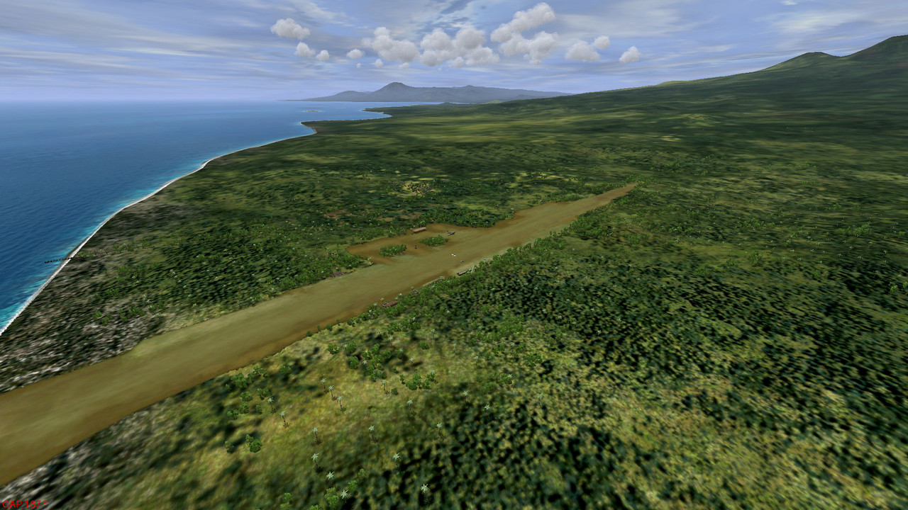
Cape Gloucester, New Britain
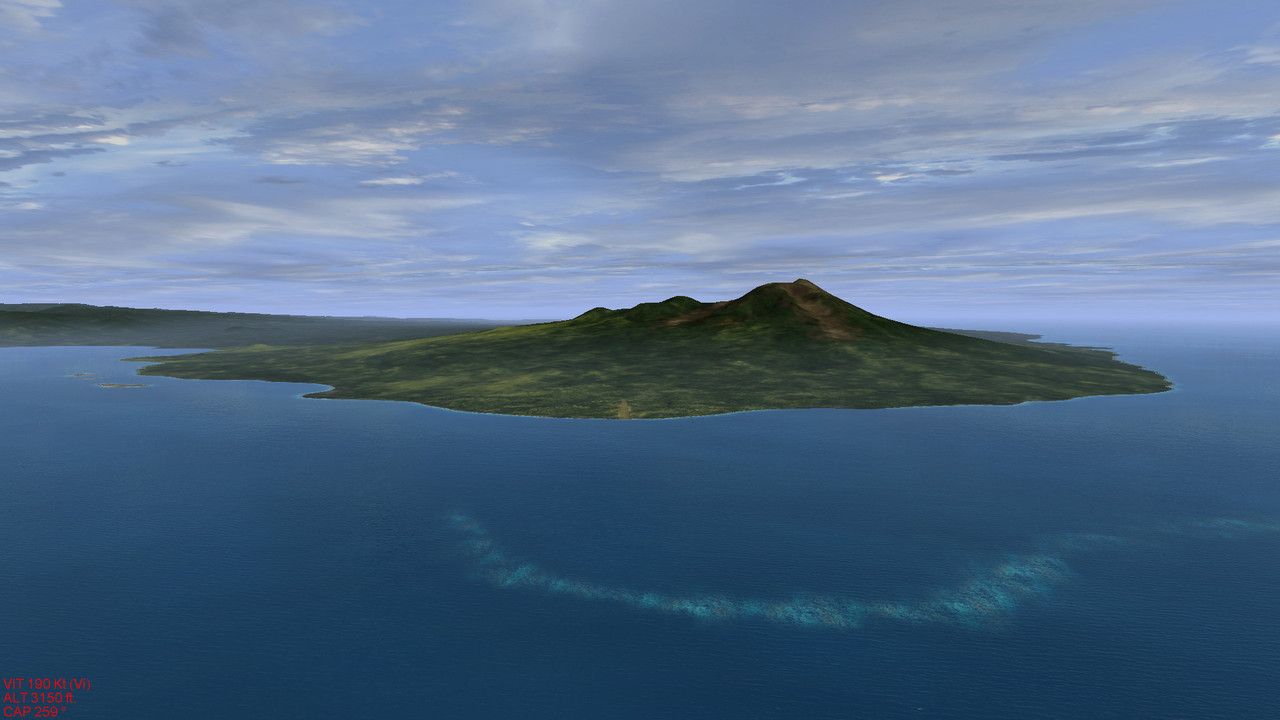

Flirting with clouds in the vicinity of Port-Moresby
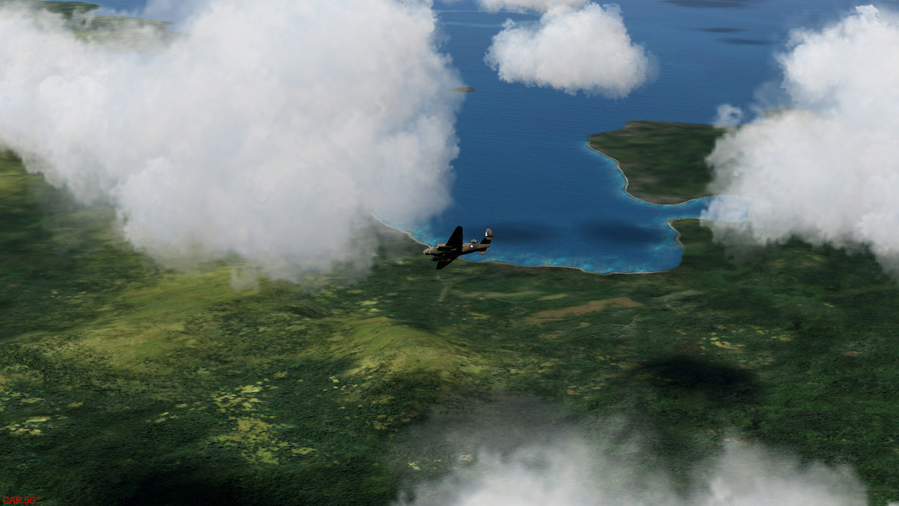
B-17F bombing Buna, old and new airfields.
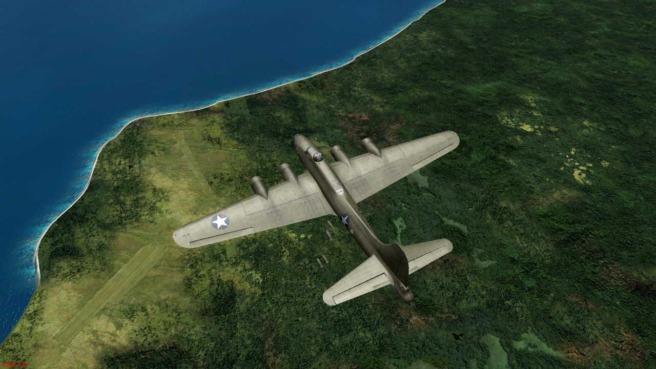
Wrecking havoc over Lae
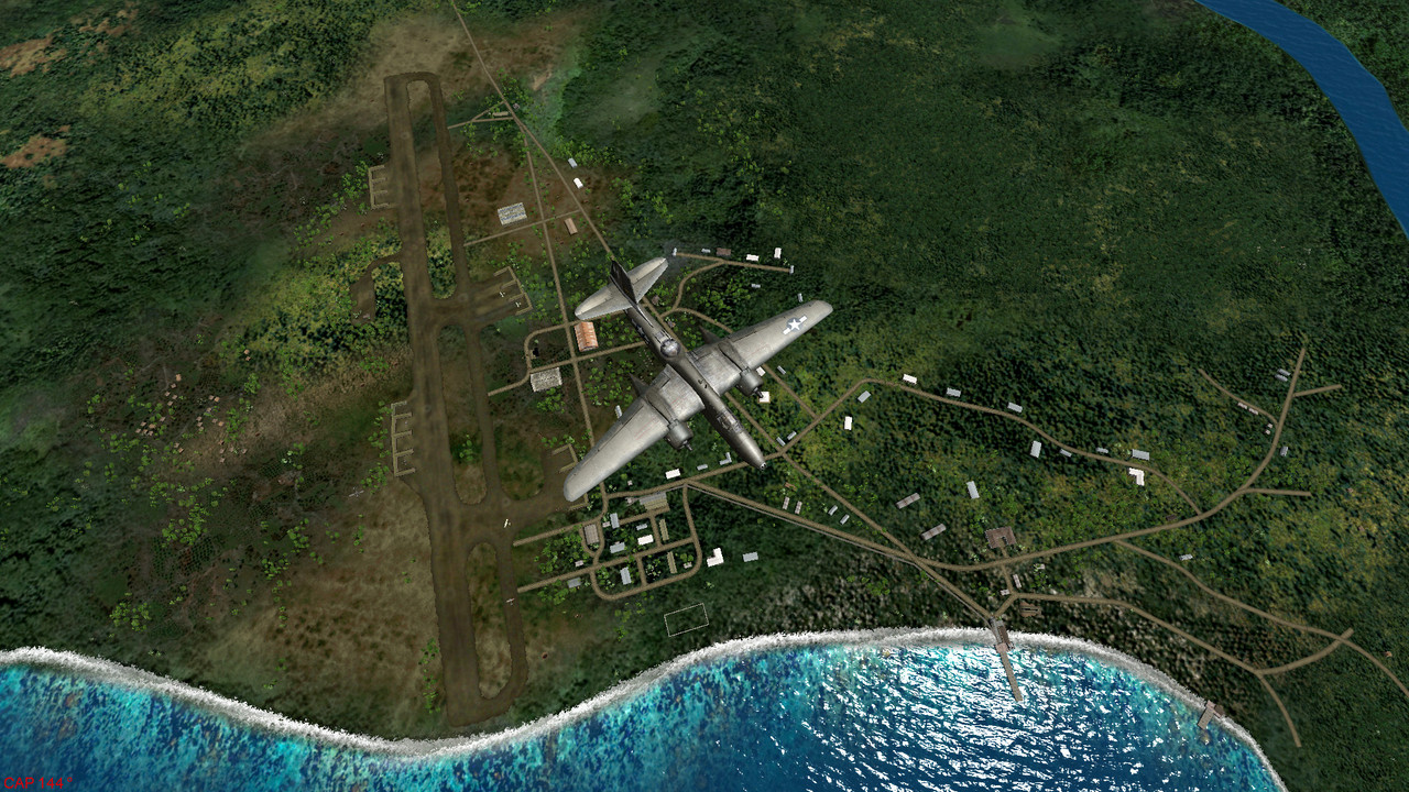
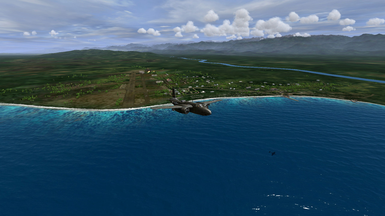
Bons baisers de Salamaua
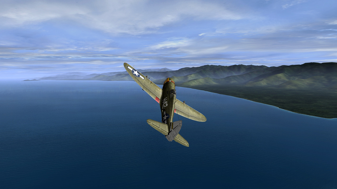
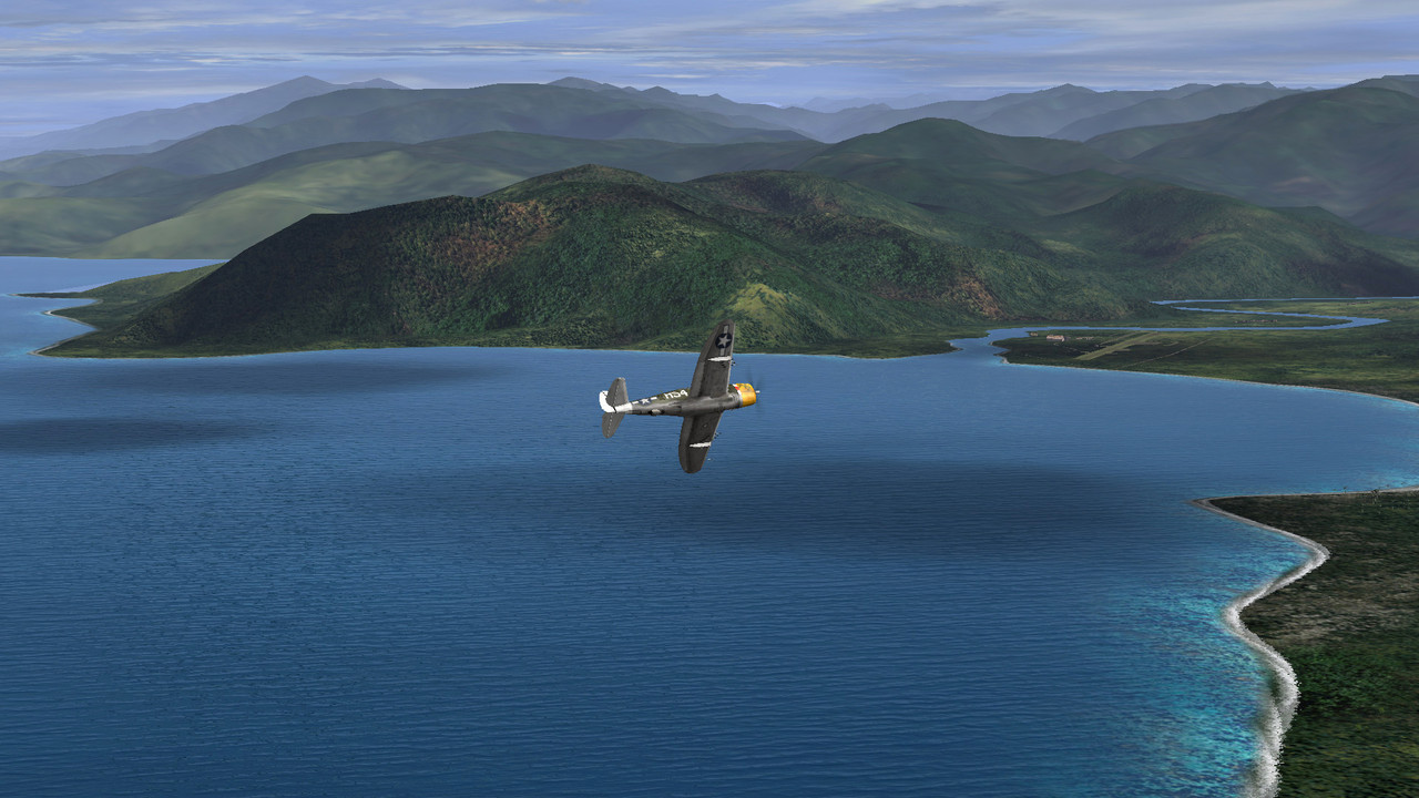
Across New Guinea, showing the Gulf of Papua in the background
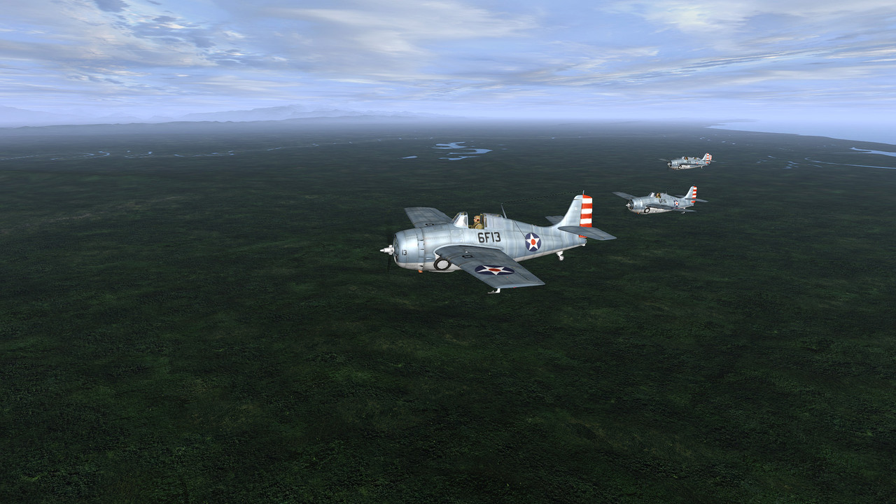
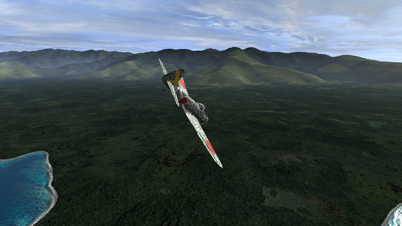
Oscar over Lae area
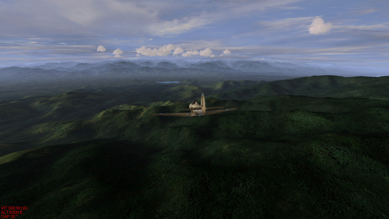
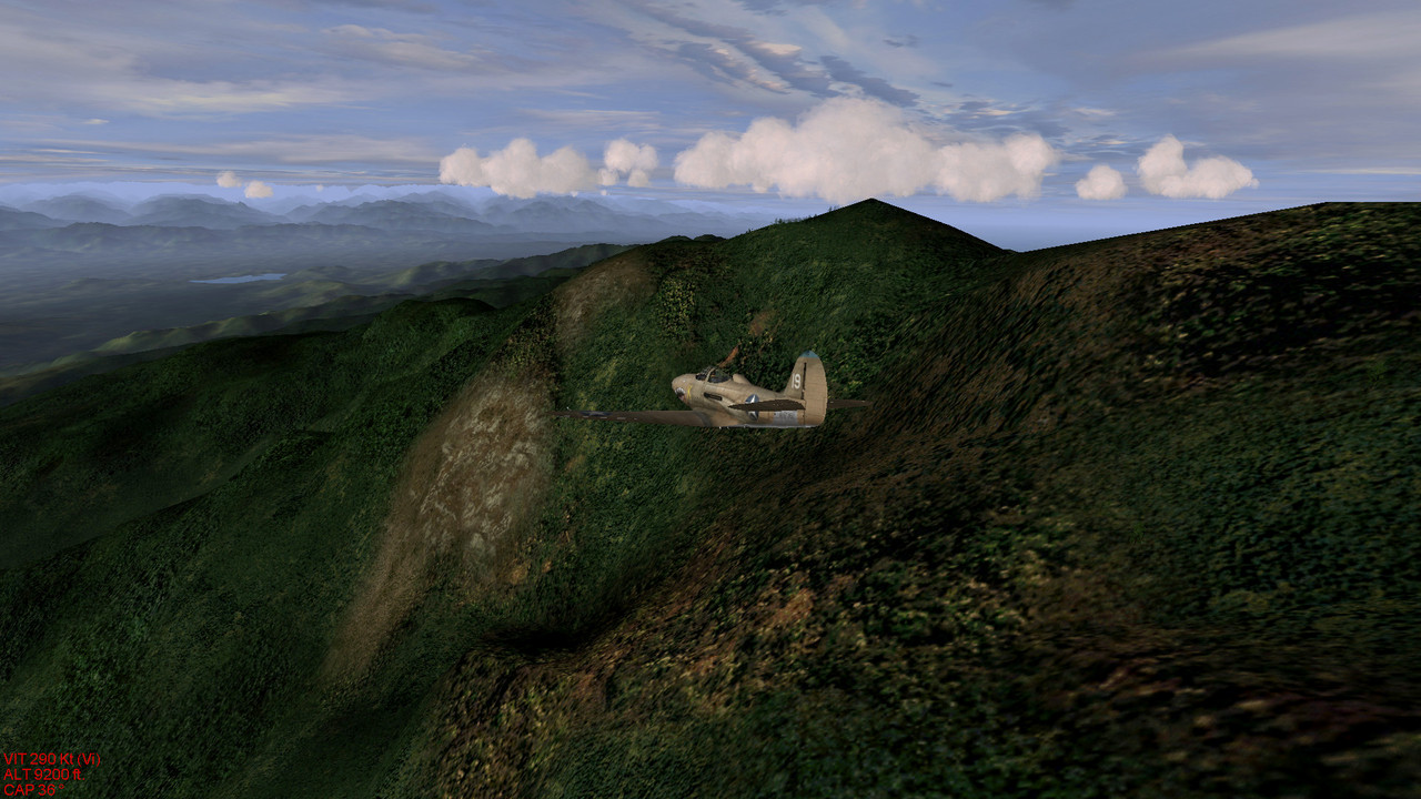
Airacobra flying along moutain passes and closing lake Wanum down in the Markham valley
Hope you like it, don't hesitate to tell us anything that comes to mind as to improve our work, more pics to come soon showing Rabaul, Milne Bay as well as Port-Mordesby airfields complex.
Thanks

 Author
Topic: GREENHELL 1942 (Eastern New Guinea and New Britain WIP) (Read 66161 times)


