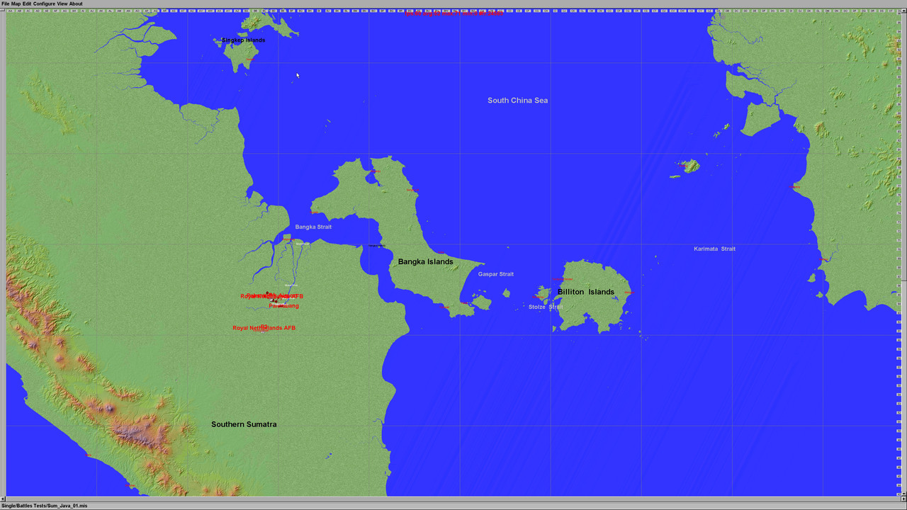
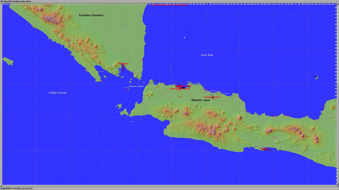
Introducing 1:1 scale map encompassing Southern Sumatra, Western Java and the surrounding seas
Click images to enlarge;
Northern area of map

Southern area of map

The Japanese onslaught into the Dutch East Indies gathered momentum in early 1942 and after stoical resistance by the combined American, British, Dutch, and Australian (ABDA) air and naval forces in actions ranging from the Makassar Strait, Balikpapan, The Flores Sea, Soerabaja, Ambon and Soembawa, the focus in February 1942 moved westward to Sumatra and Western Java, where the last significant allied naval and air forces were finally all but annihilated in actions around the Java Sea, the Soenda Strait, the Badoeng Strait, the Bangka Strait and Palembang.
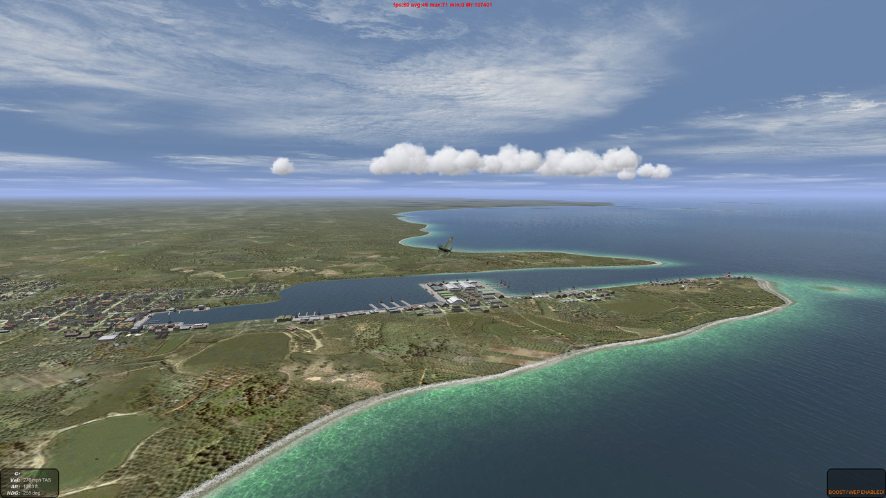
The estuary harbour Palembang

Palembang Oil Storage Terminal

Japanese air raid over Tandjoeng Priok Harbour

Batavia Harbour and Marina


Kamajoran Airfield

Tjilatjap Harbour


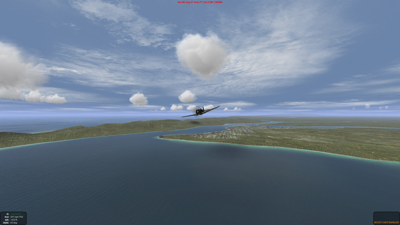
Very early stages as yet - main problems - low fps over towns; may have to reduce the number of objects. Land textures are largely stand-ins copied from Cyberolas excellent Singapore map. No forested or jungle areas yet (massive job!)
Beta version here https://www.mediafire.com/file/knejcwhdqin2l4w/sq_South-Sumatra_Java.7z/filePlease note - early stage map but fully working and tested. Well populated towns and villages. Limited railway and roadway links. Only placeholder textures available at the moment
 Author
Topic: SOUTHERN SUMATRA - WESTERN JAVA 1942 (Read 6987 times)


