Map of the Congo River Basin
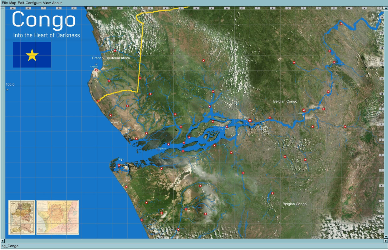
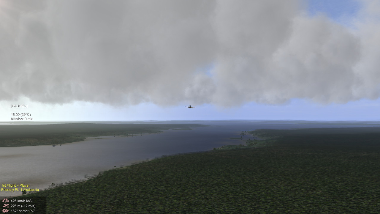
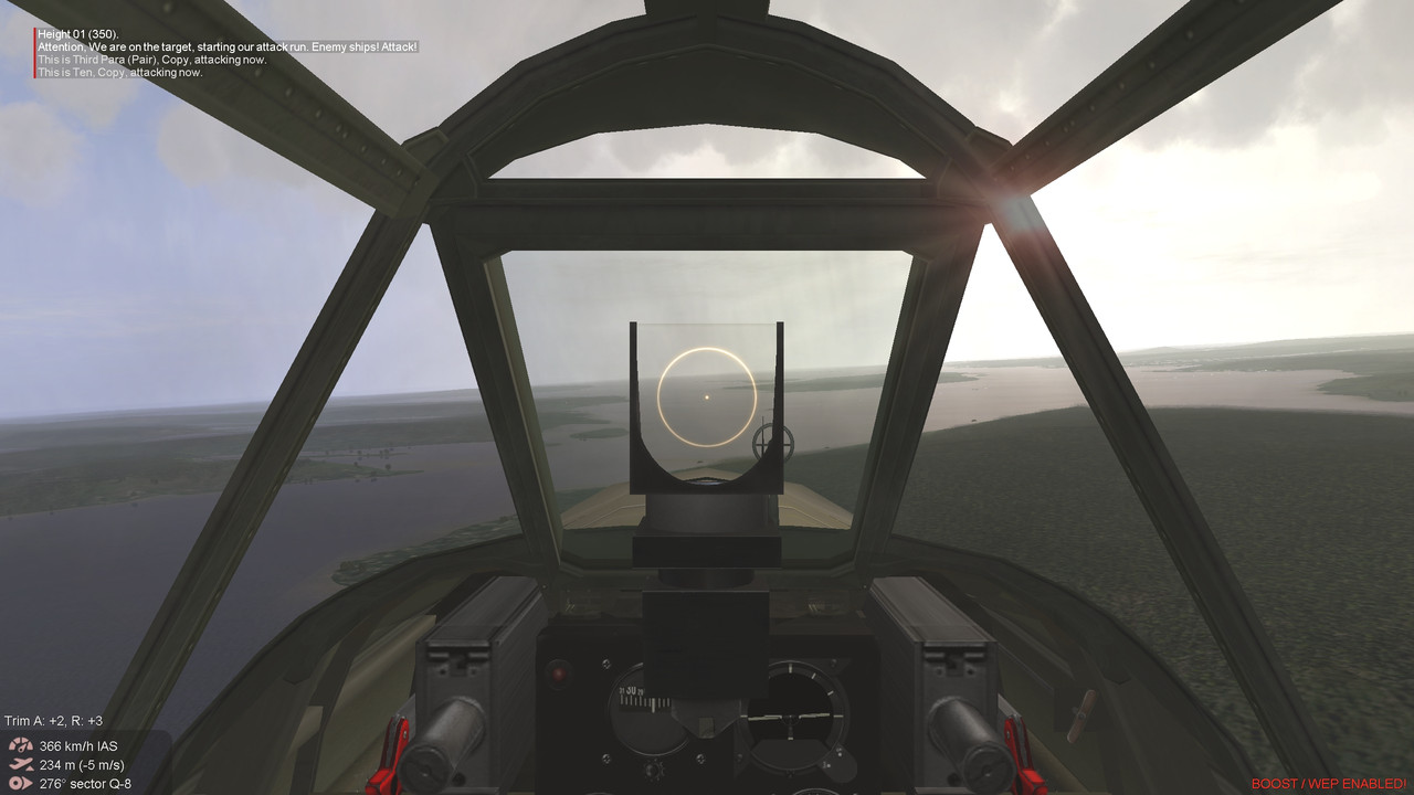
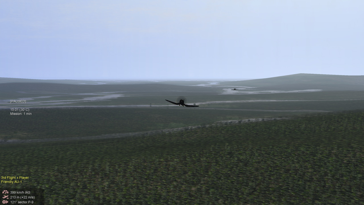
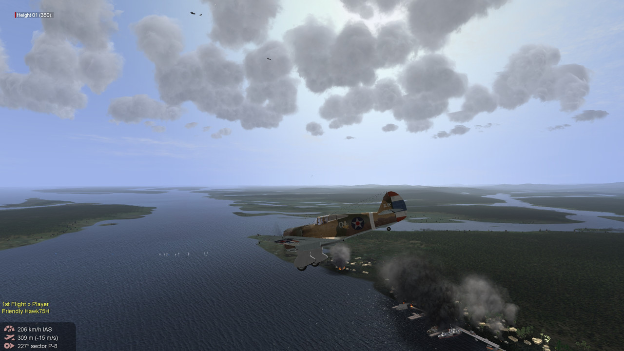
Here is a new map of part of the Congo River Basin. I've had this laying around in a one texture version for some time, but I ended up finding a good set of textures that gave the impression I was trying to create of a dense tropical forest with innumerable rivers of all sizes.
As a theater of war not much happened in either of the world wars. So if used for flying it will be in an alternate version of reality or just for fun.
Rivers are navigable for quite a long distance which gives scope for use of ships. I have no info on actual airfields, so I put 3 airfields on the map, one in each principle town: Cabinda, Boma and Matadi. Other towns/villages marked on the map with a star are mainly random and don't correspond with actual places. I used Mid East buildings mainly because of the color contrast. There is otherwise so much greenery on the map, that a few white buildings make for a nice contrast.
I made the map in my DBW version of map-maker. It flies in my newest install of BAT without having added any new objects. So it should be good to fly there.
Download Link:https://www.mediafire.com/file/6sesnsjnxn190i1/ag_Congo.rar/fileThis map contains 2 versions, one for a 1940 version and one for 1960 with two concrete airfields ...
I hope it works well. I'm a bit rusty after a hiatus in map making, so let me know if there are any tech errors ...
A small tip: best to fly with hazy weather or worse and either in the early hours or the late hours of the day to get a good oppressive tropical feeling. And a tropical thunderstorm is something of a flying experience as well.
 Author
Topic: New Map of Congo (Read 5750 times)


