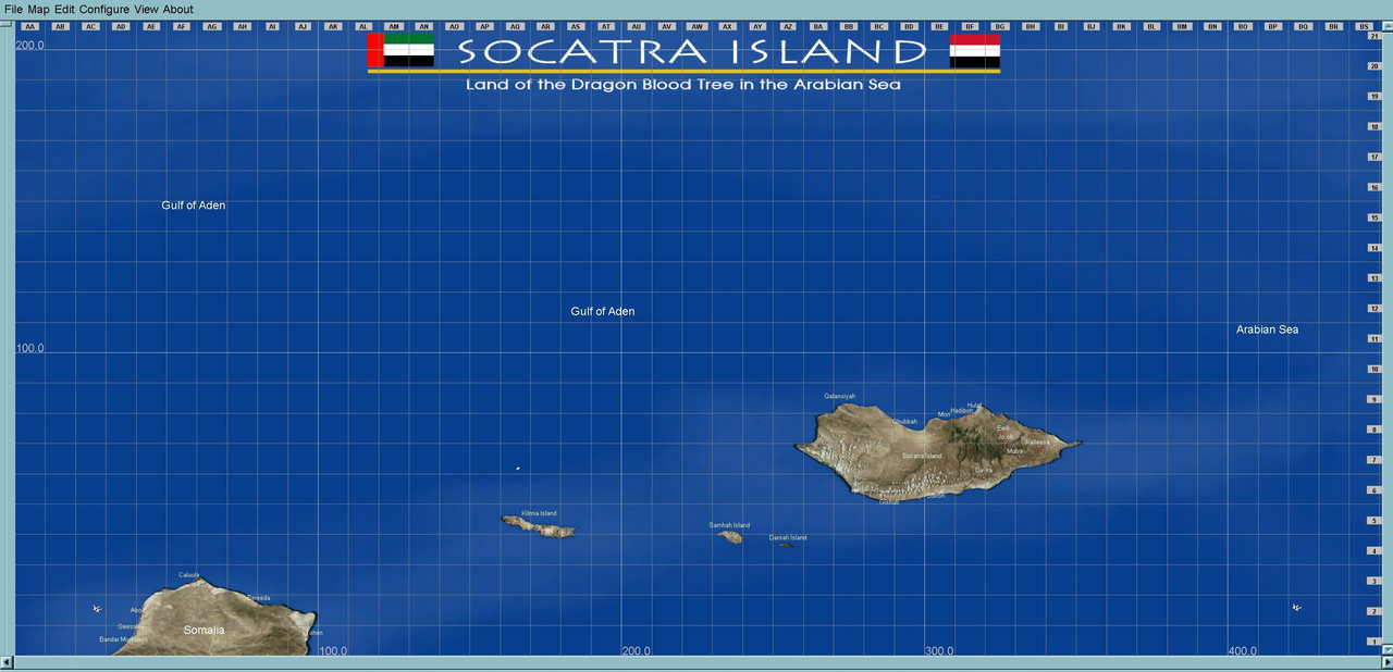
If there was ever a place in the world that I would love to visit, I think it would be Socatra island, located in the Arabian Sea, not far from the Gulf of Aden. Home to exotic and strange vegetation, it is a remote place of stunning arid beauty, at least from the photos and vids I have seen. So I decided to start a map of the area, even though as a location for aerial and naval operations, it has thankfully been spared both historically.
And while this may not be a useful historical location for a map, I couldn't resist. As compensation, I have another map almost ready of an actual theater of war during WWII. But I want to go over it a bit more before release.
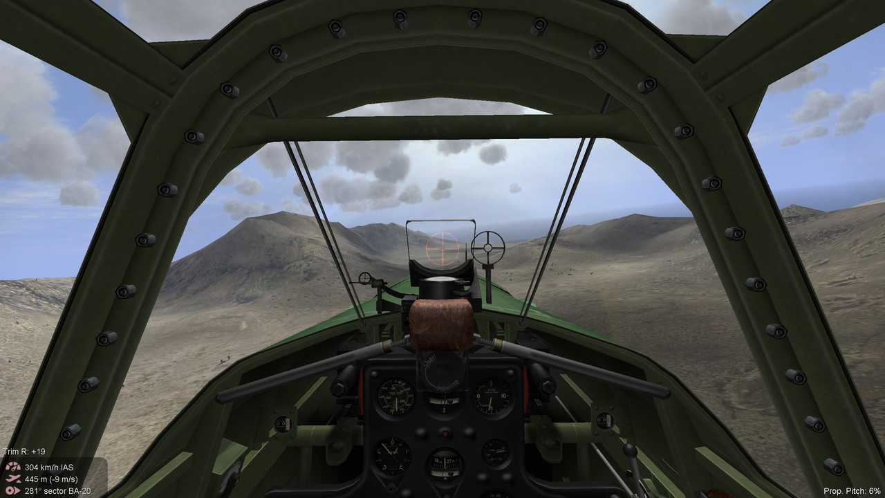
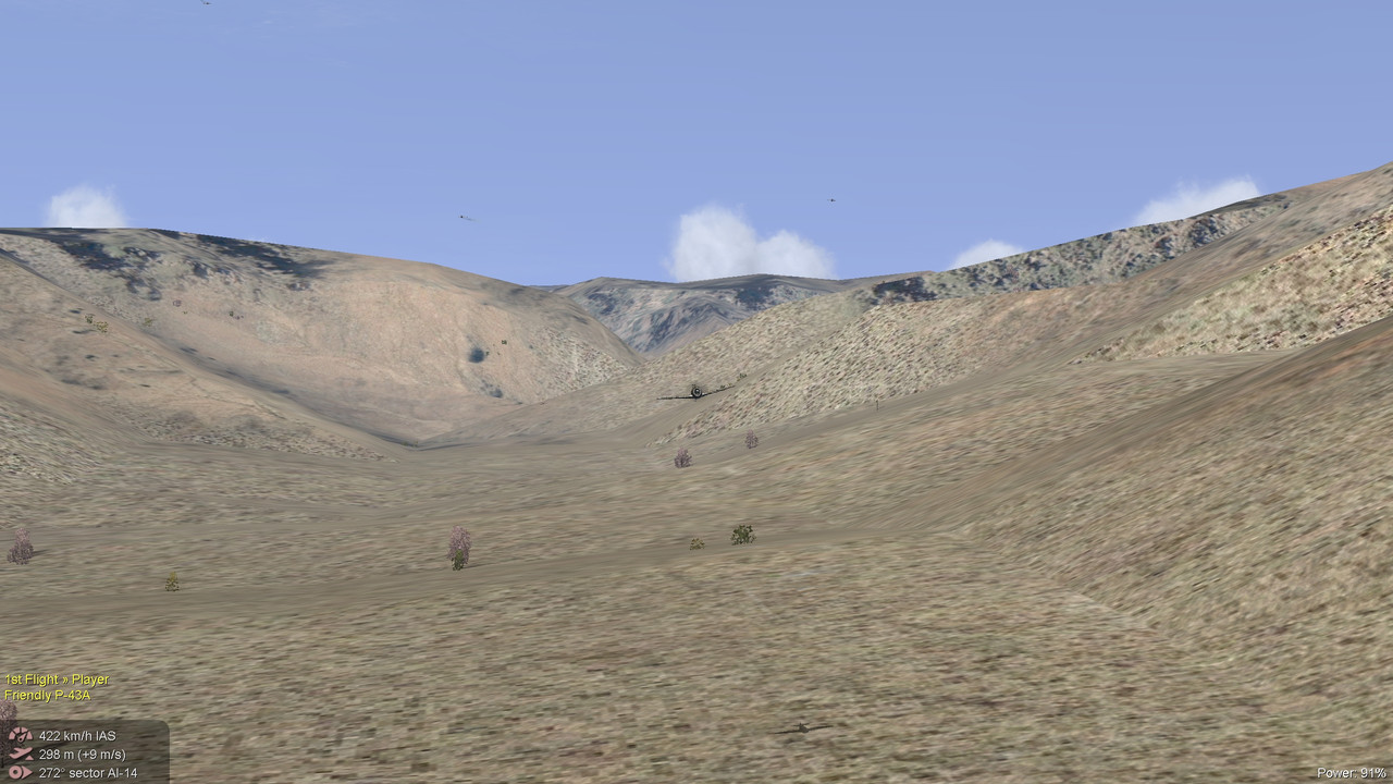
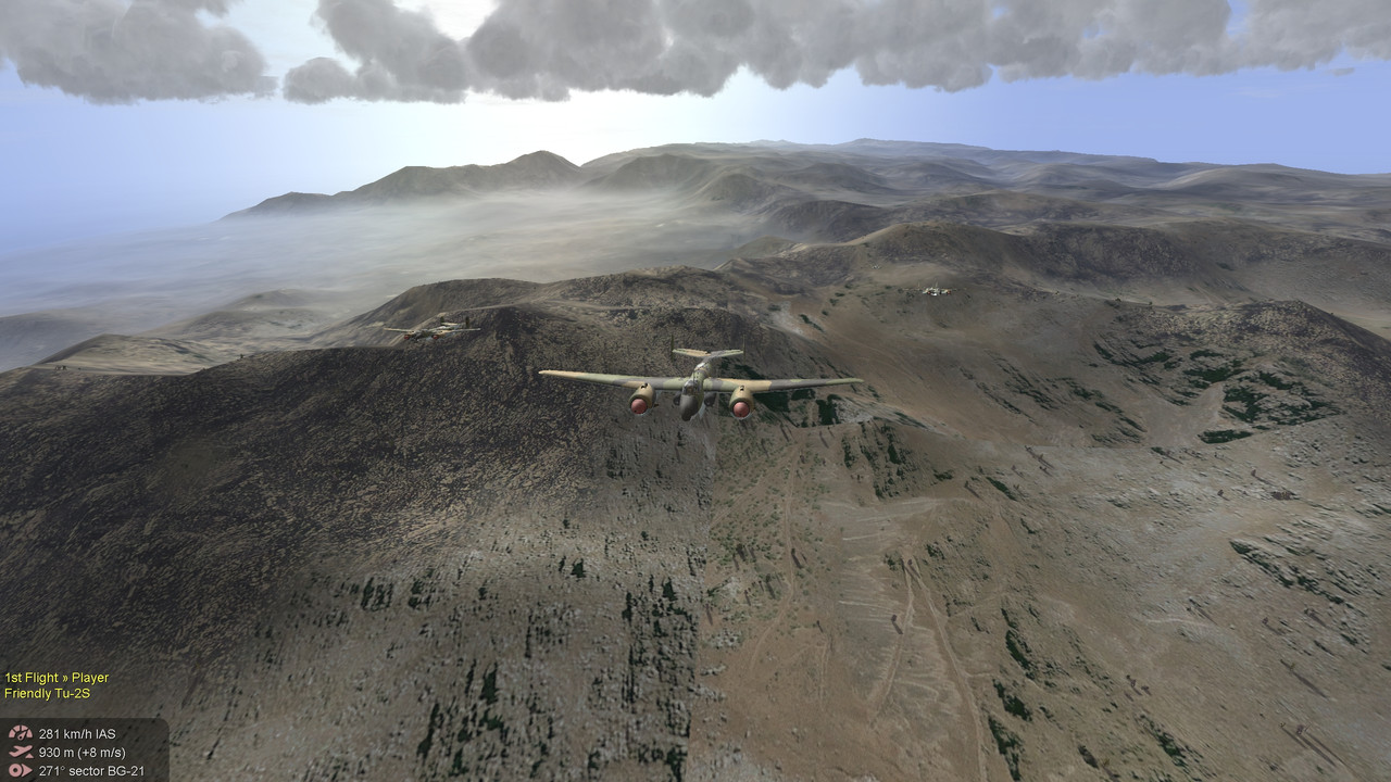
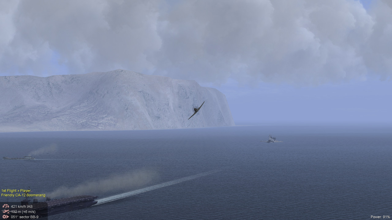
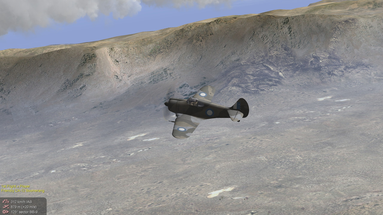
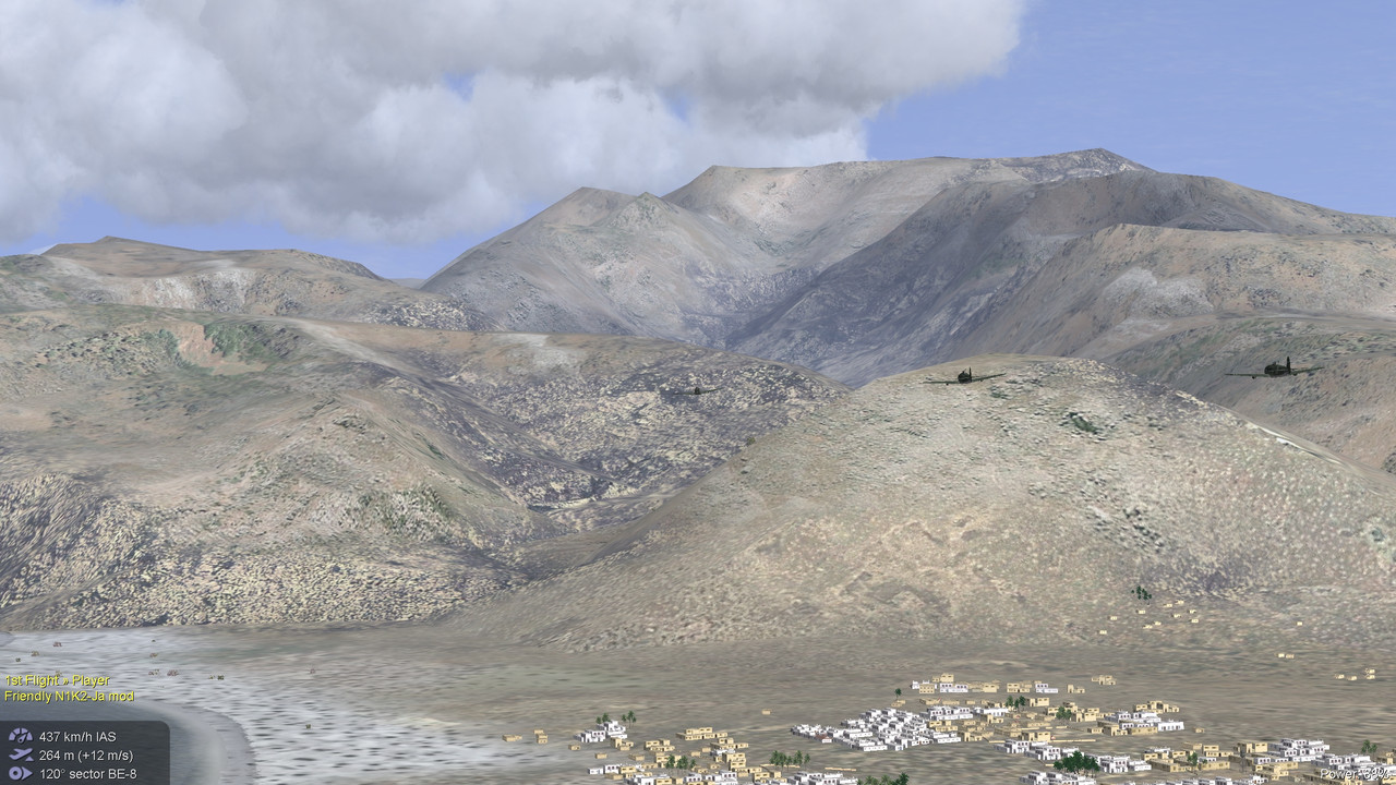
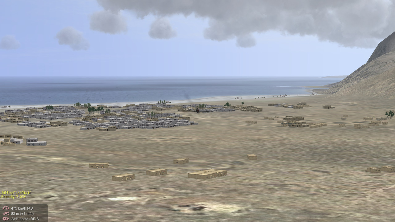
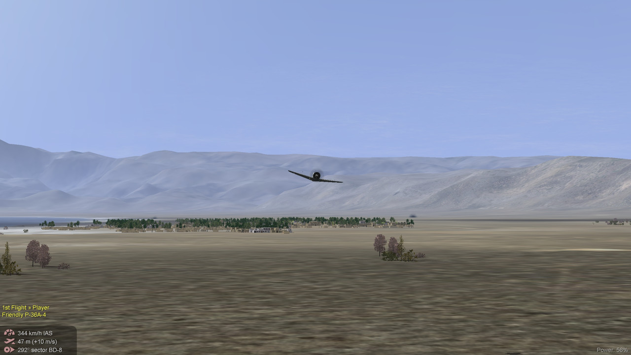
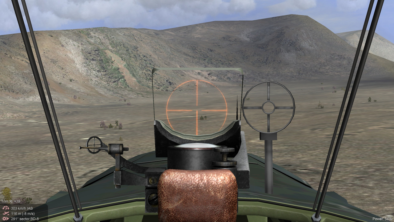
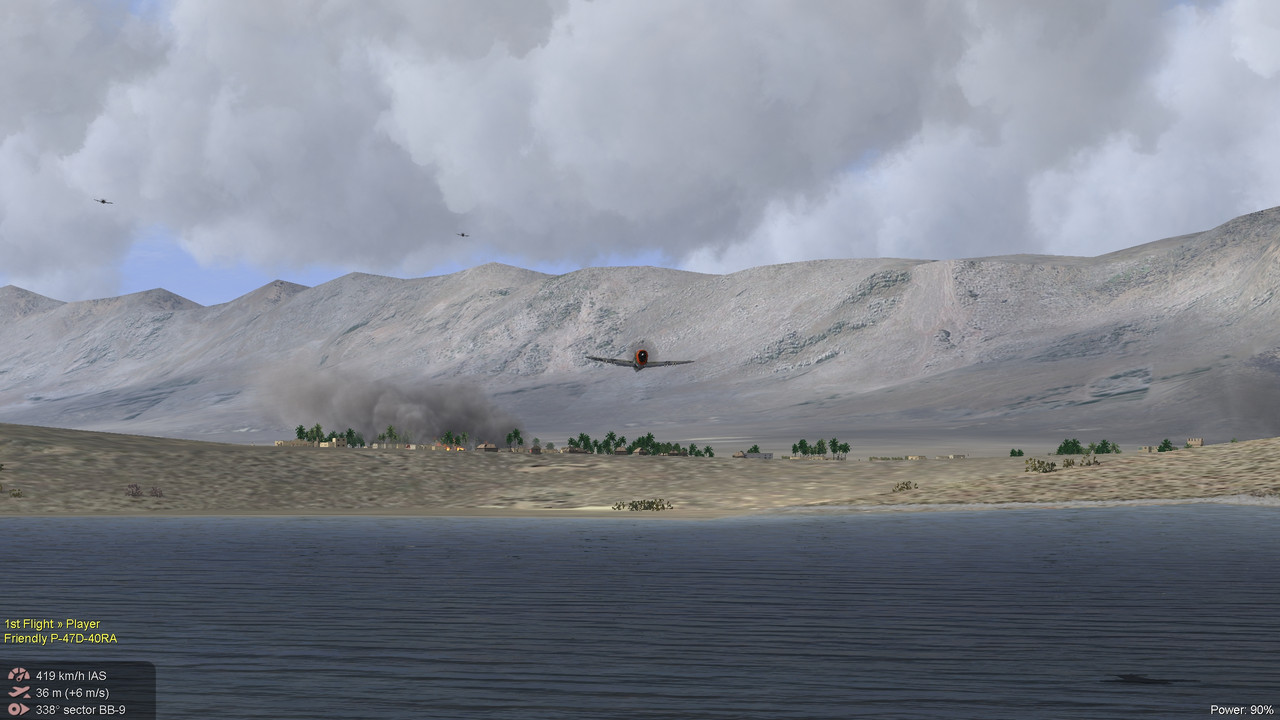
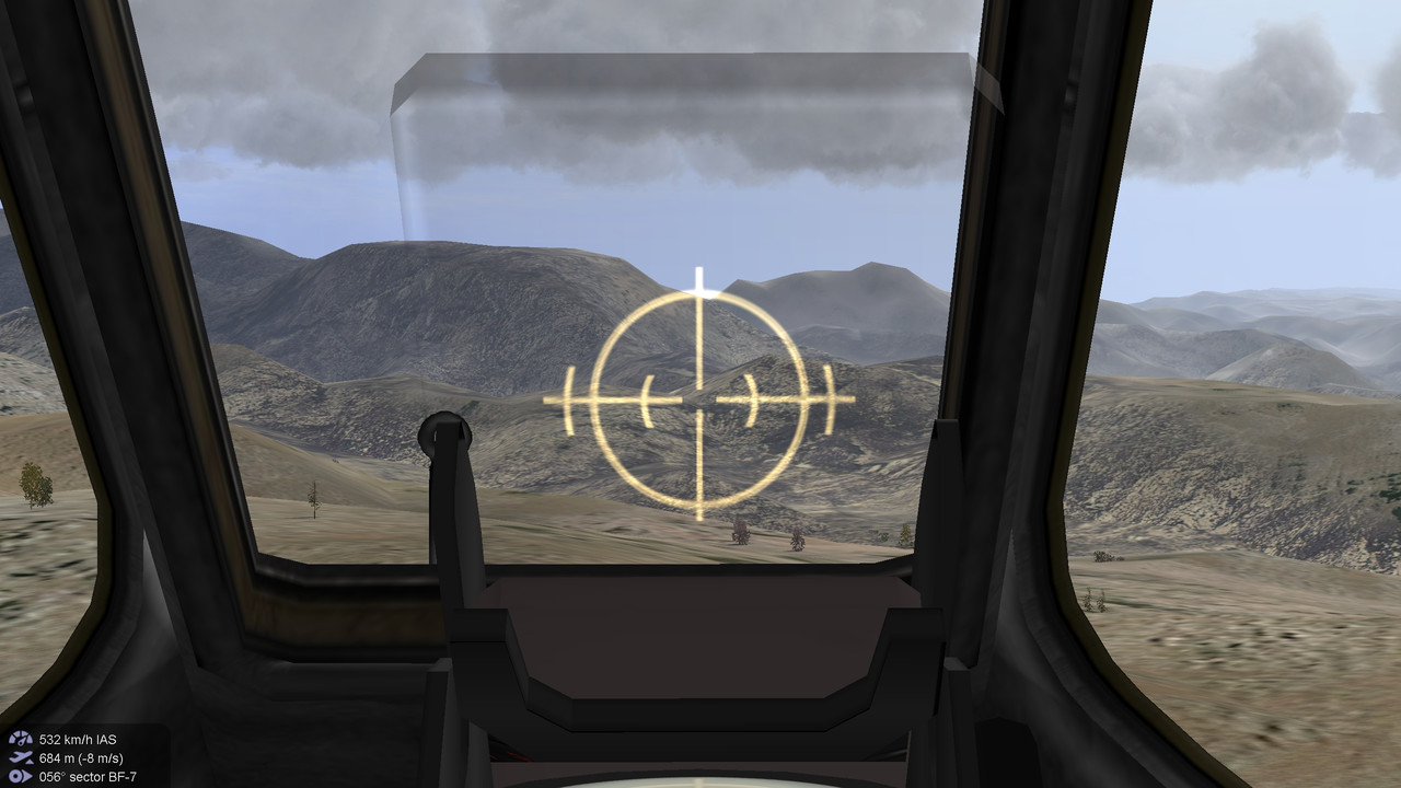
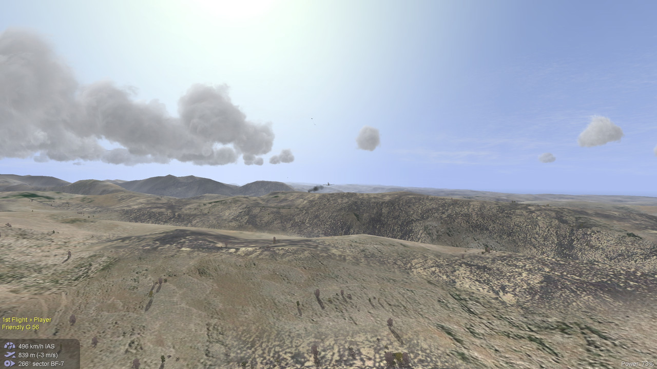
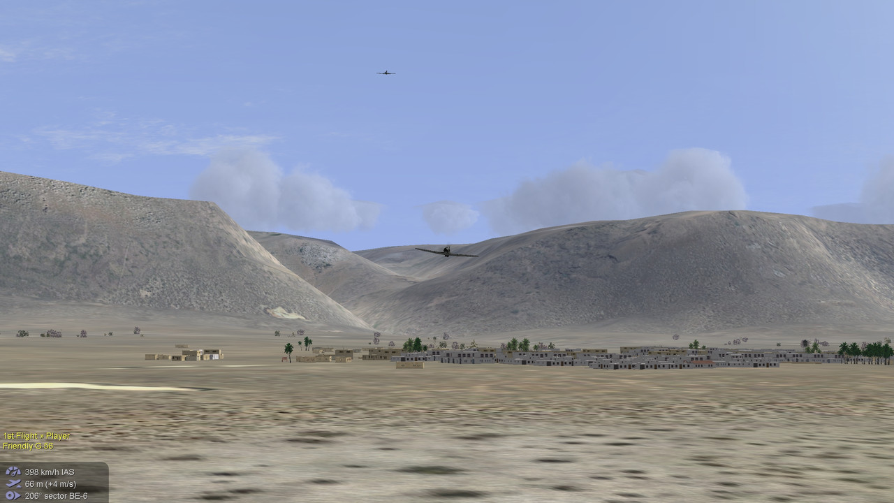
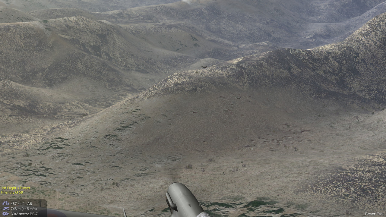
In any case, here a few screenshots to give an idea of the terrain.
Here a ink to an upload for the map:
Download Linkhttps://www.mediafire.com/file/fnlzg8uwrjhy7l1/ag_Socatra.7z/fileI might do some more minor revisions in the future, but in the meantime this version should be good enough. It is mainly a landscape map with rugged and mountainous terrain.
There are only 2 airfields and a number of small villages/towns.
I'll repeat that all screenshots were made while flying in hazy weather or worse and not above 1000m.


 Author
Topic: Socatra island (Read 1676 times)


