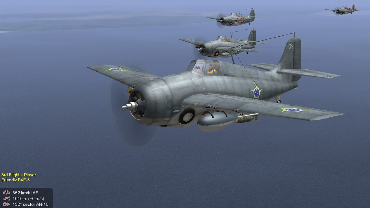
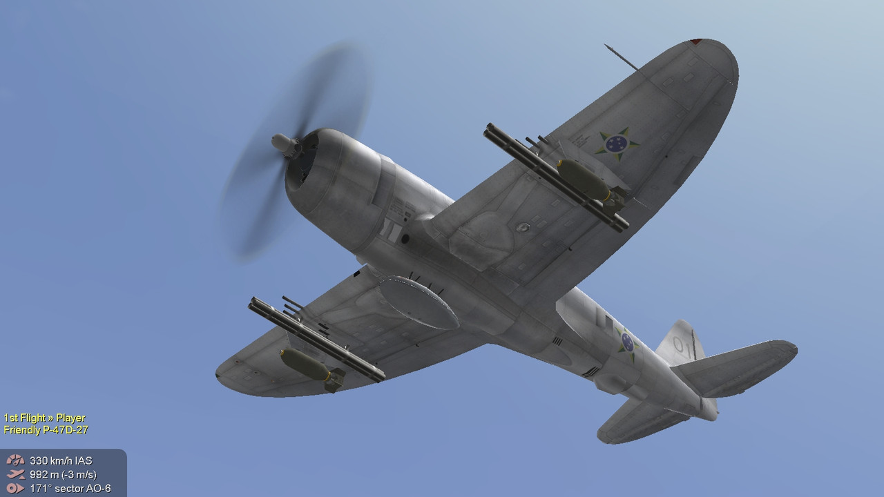
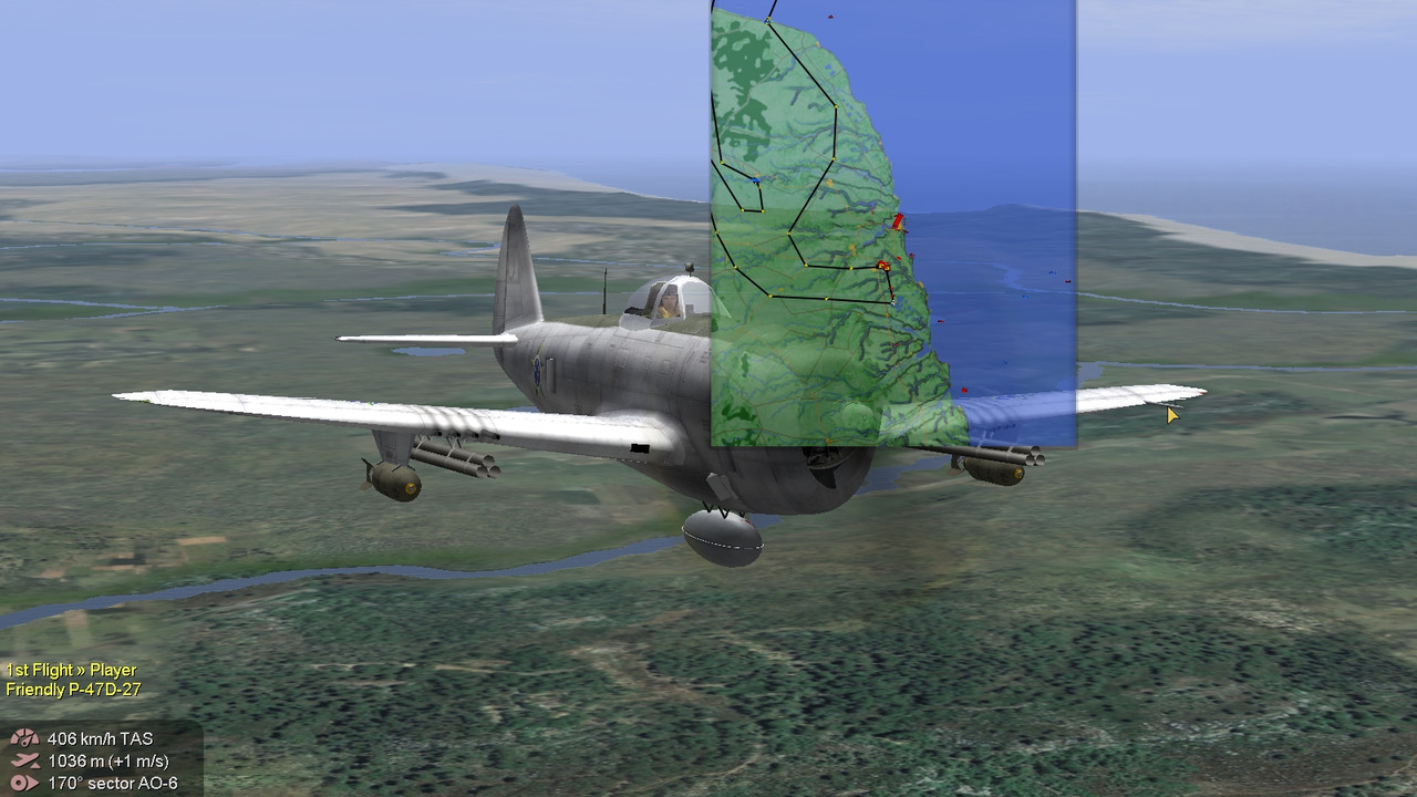
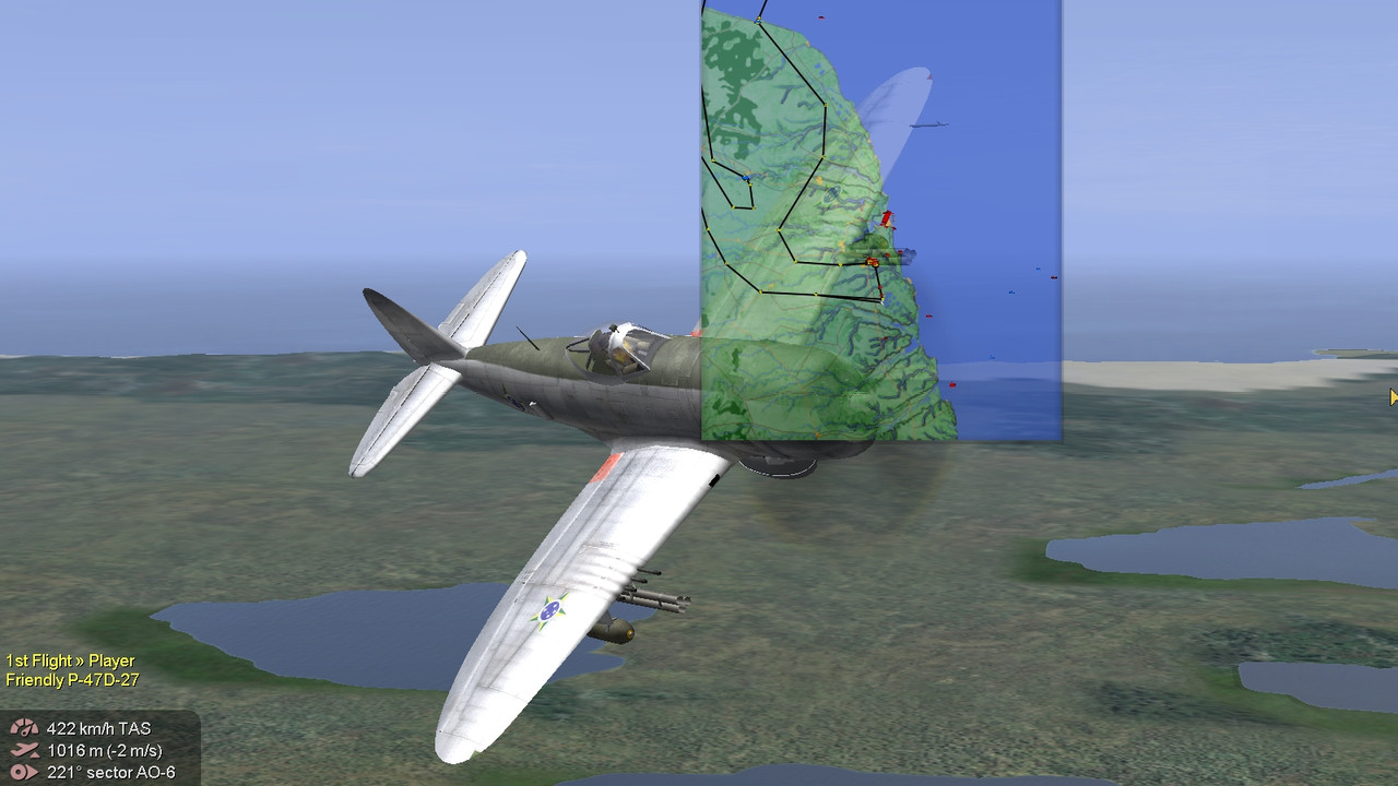
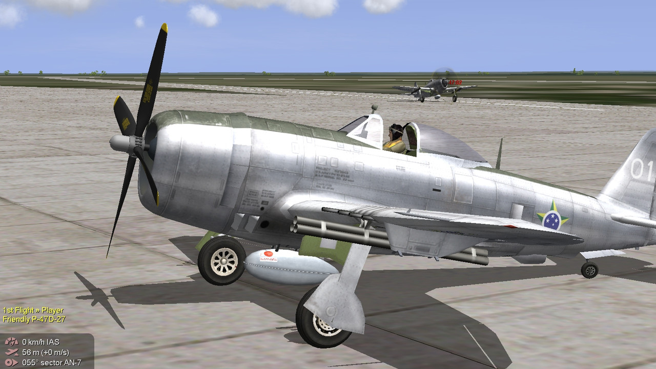
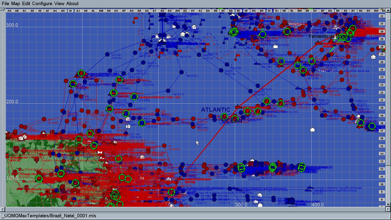
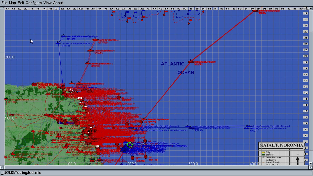
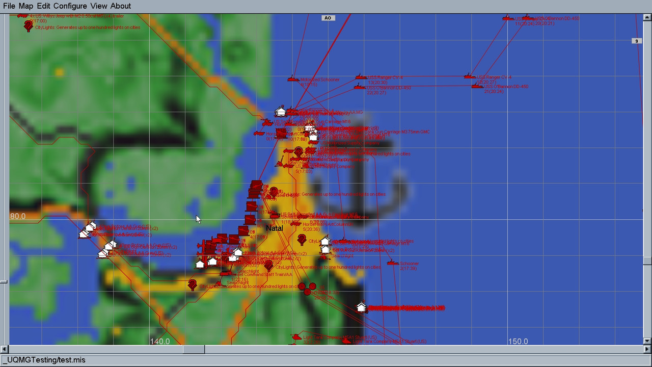
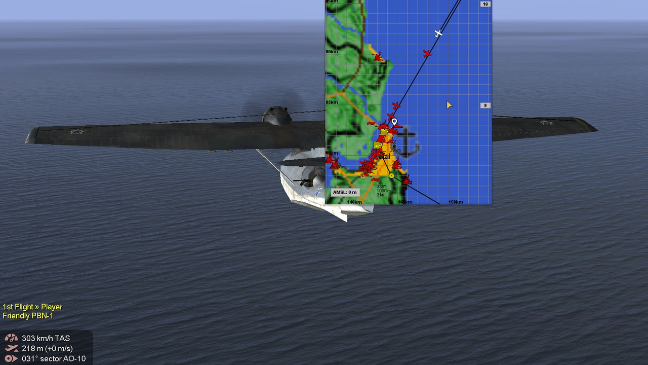
Northeastern Brazil: Natal to Fernando de Noronha Atlantic Area. This is the last template before the Alpha; it is complete. I can now concentrate on polishing up the code for the Alpha. Nevertheless, it is one I had to do. This is the Northeast Brazil map covering the Natal to Fernando de Noronha Island/Territory. The map is heavily populated and can support both historical and fictional scenarios. The map is full scale so covers an area of 500x335Km.
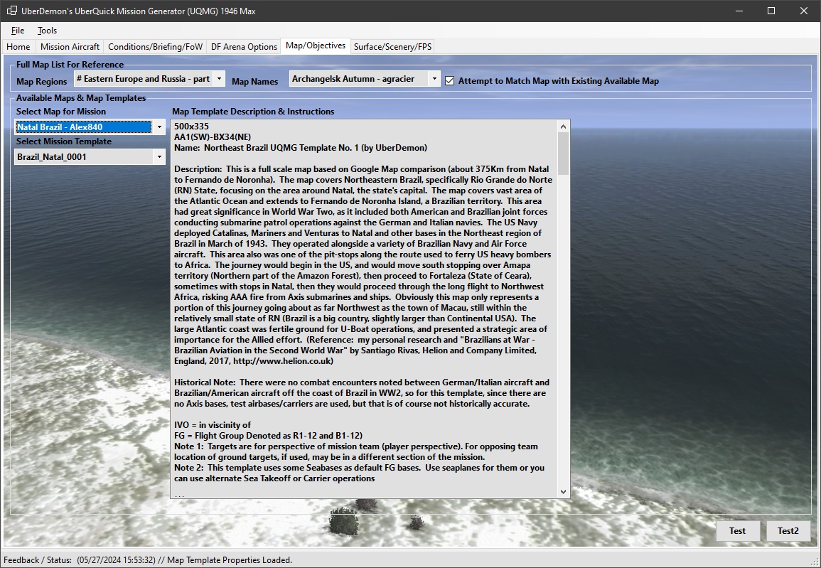
Here is the main description for the map:
Description: This is a full scale map based on Google Map comparison (about 375Km from Natal to Fernando de Noronha). The map covers Northeastern Brazil, specifically Rio Grande do Norte (RN) State, focusing on the area around Natal, the state's capital. The map covers vast area of the Atlantic Ocean and extends to Fernando de Noronha Island, a Brazilian territory. This area had great significance in World War Two, as it included both American and Brazilian joint forces conducting submarine patrol operations against the German and Italian navies. The US Navy deployed Catalinas, Mariners and Venturas to Natal and other bases in the Northeast region of Brazil in March of 1943. They operated alongside a variety of Brazilian Navy and Air Force aircraft. This area also was one of the pit-stops along the route used to ferry US heavy bombers to Africa. The journey would begin in the US, and would move south stopping over Amapa territory (Northern part of the Amazon Forest), then proceed to Fortaleza (State of Ceara), sometimes with stops in Natal, then they would proceed through the long flight to Northwest Africa, risking AAA fire from Axis submarines and ships. Obviously this map only represents a portion of this journey going about as far Northwest as the town of Macau, still within the relatively small state of RN (Brazil is a big country, slightly larger than Continental USA). The large Atlantic coast was fertile ground for U-Boat operations, and presented a strategic area of importance for the Allied effort. (Reference: my personal research and "Brazilians at War - Brazilian Aviation in the Second World War" by Santiago Rivas, Helion and Company Limited, England, 2017,
http://www.helion.co.uk)
Historical Note: There were no combat encounters noted between German/Italian aircraft and Brazilian/American aircraft off the coast of Brazil in WW2, so for this template, since there are no Axis bases, test airbases/carriers are used, but that is of course not historically accurate.
This is the most complex map template I have designed.
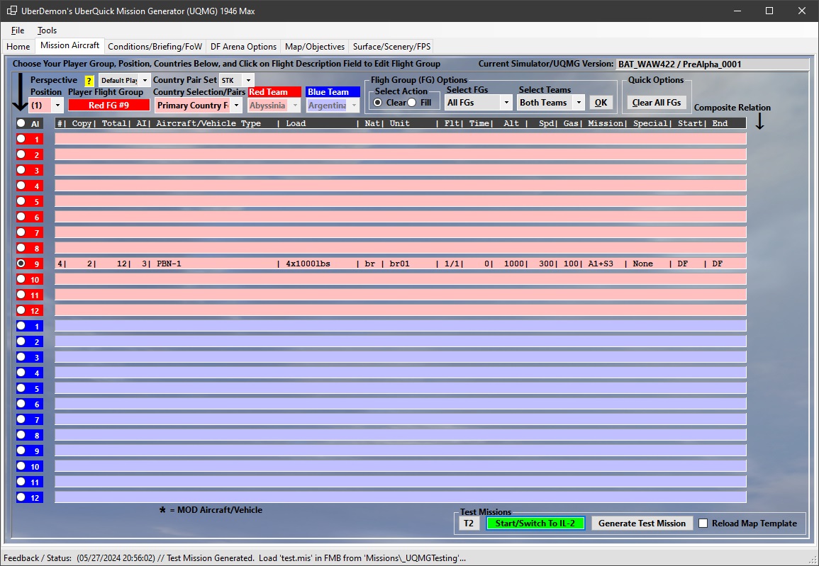
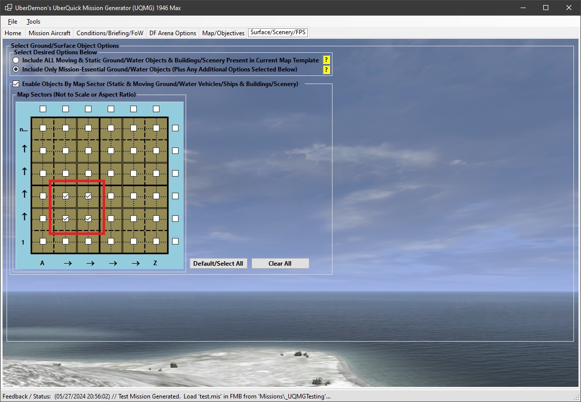
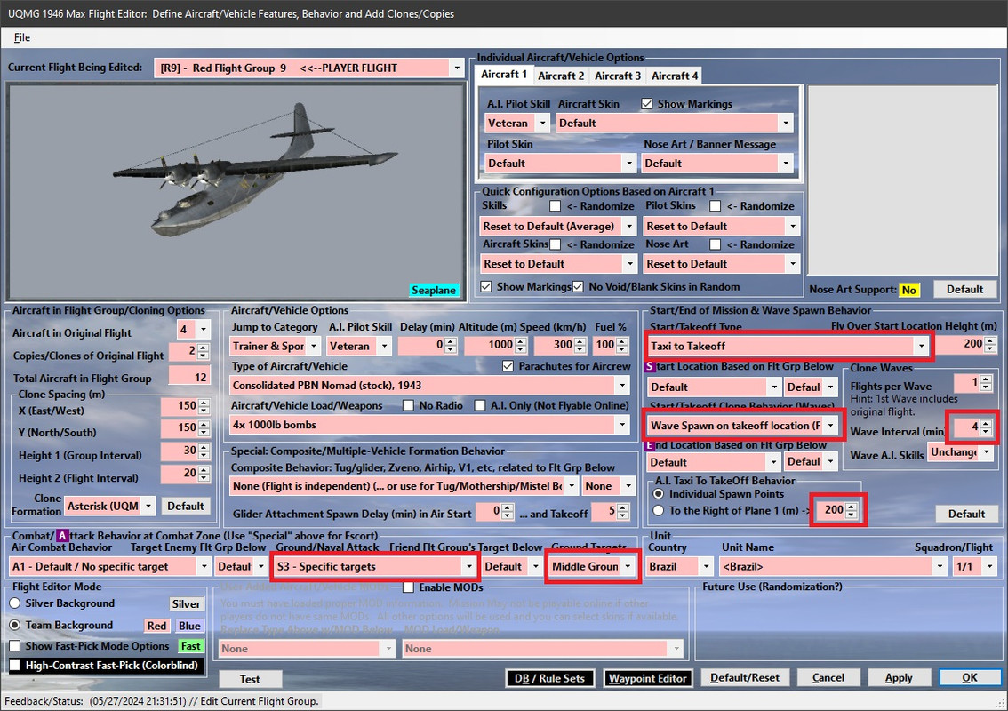
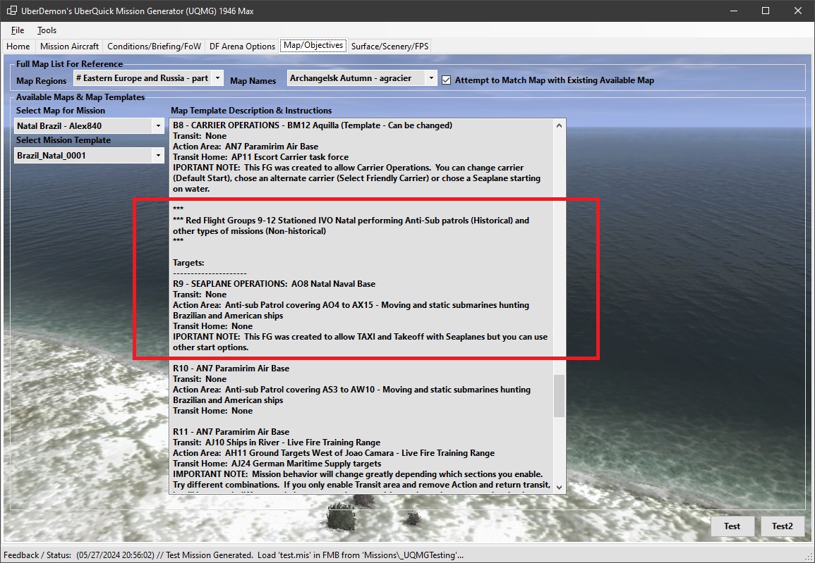
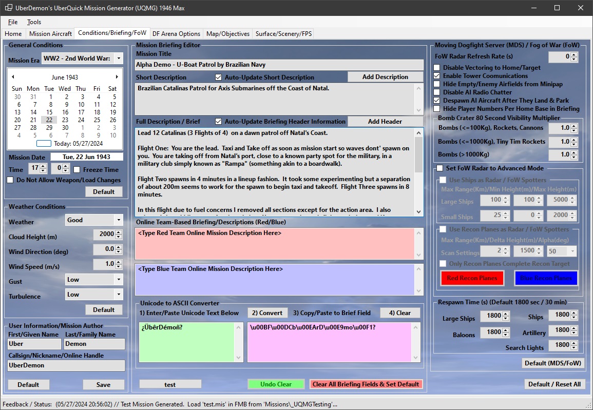
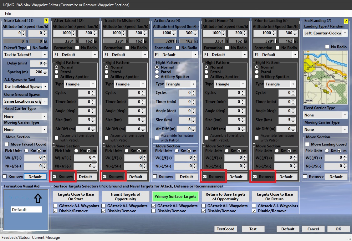
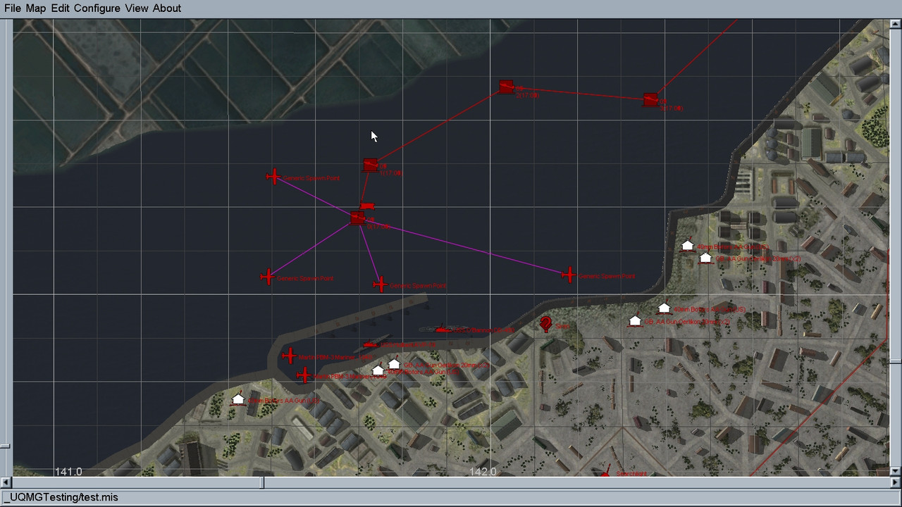
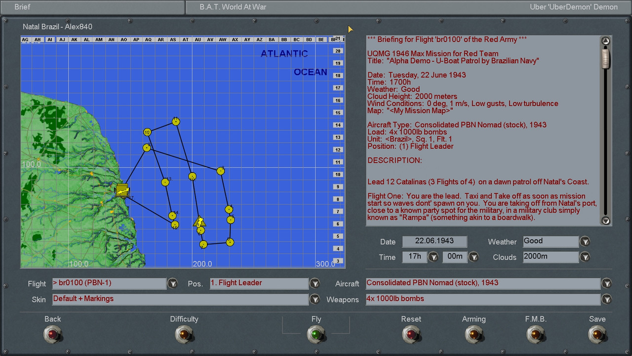
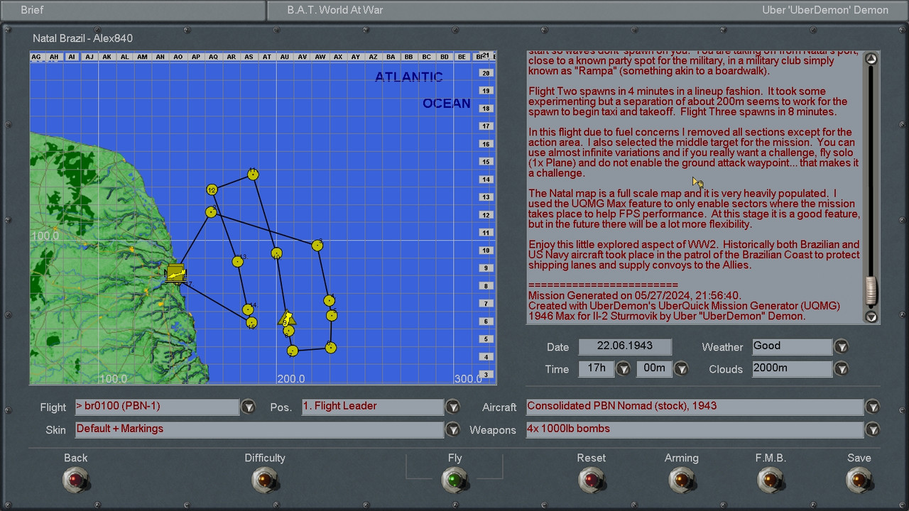
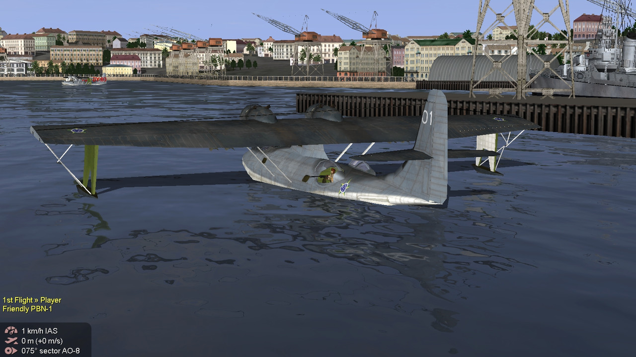
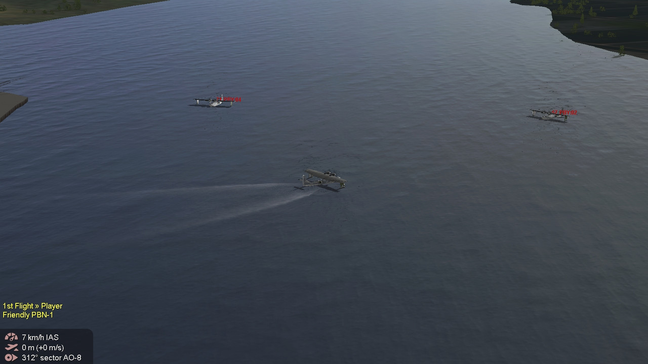
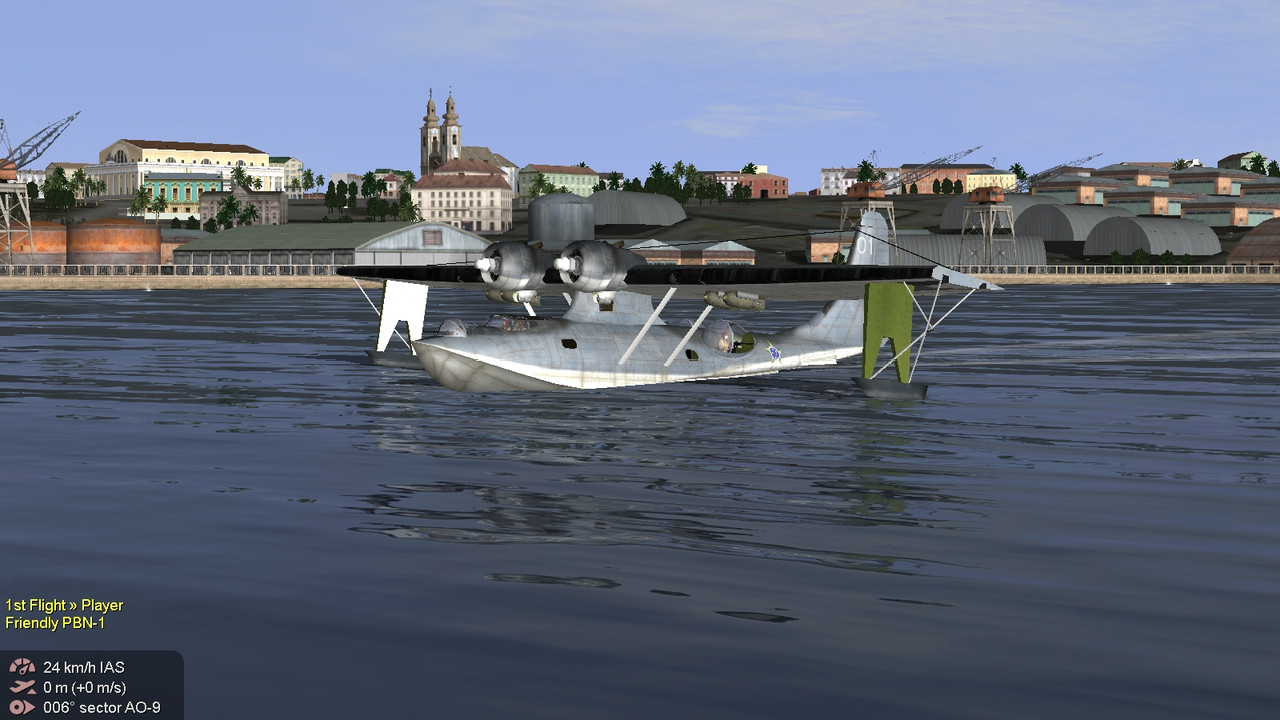
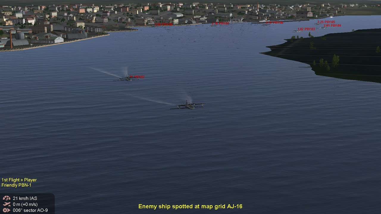
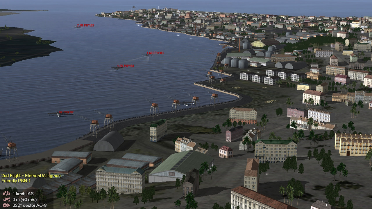
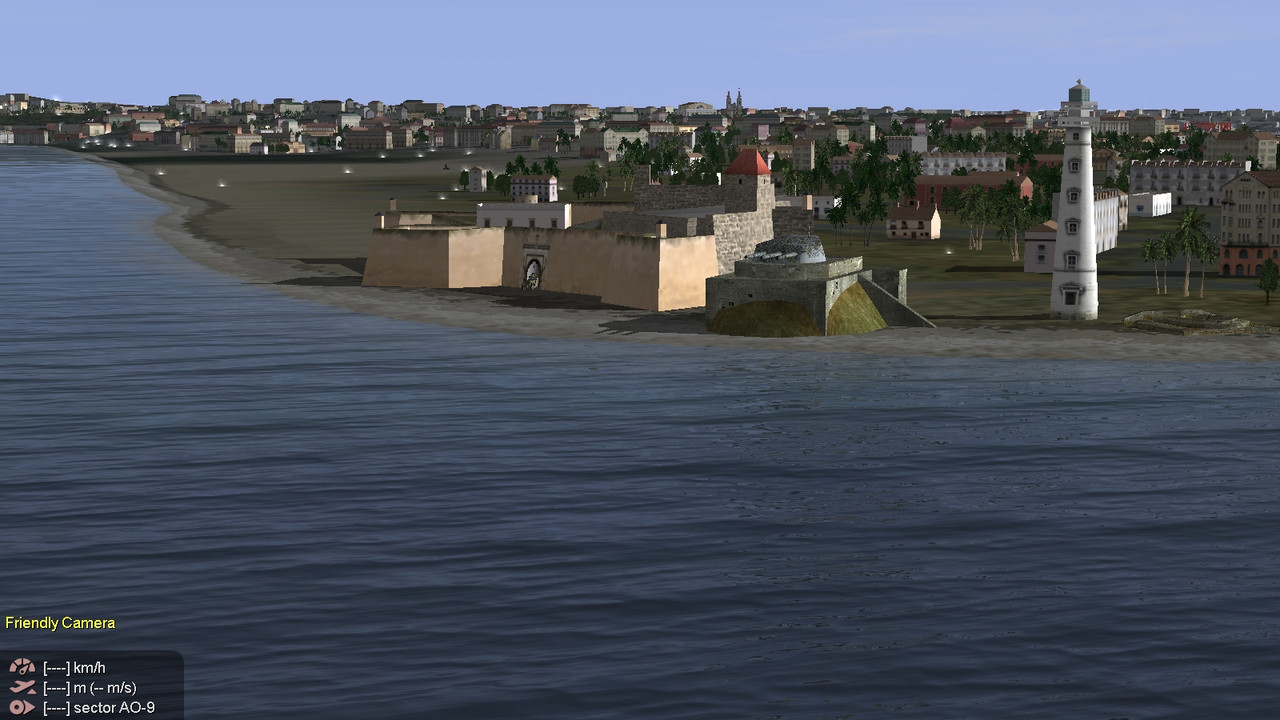
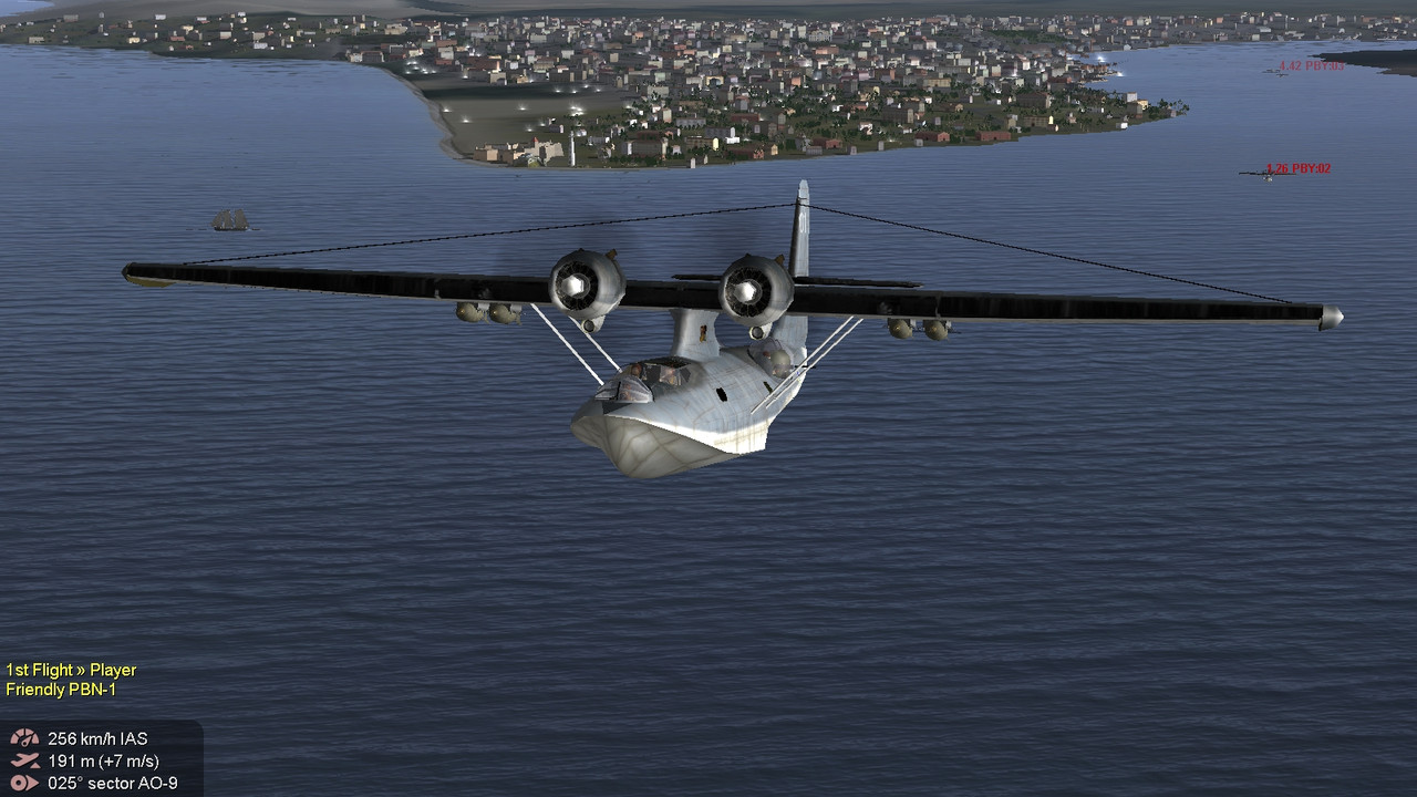
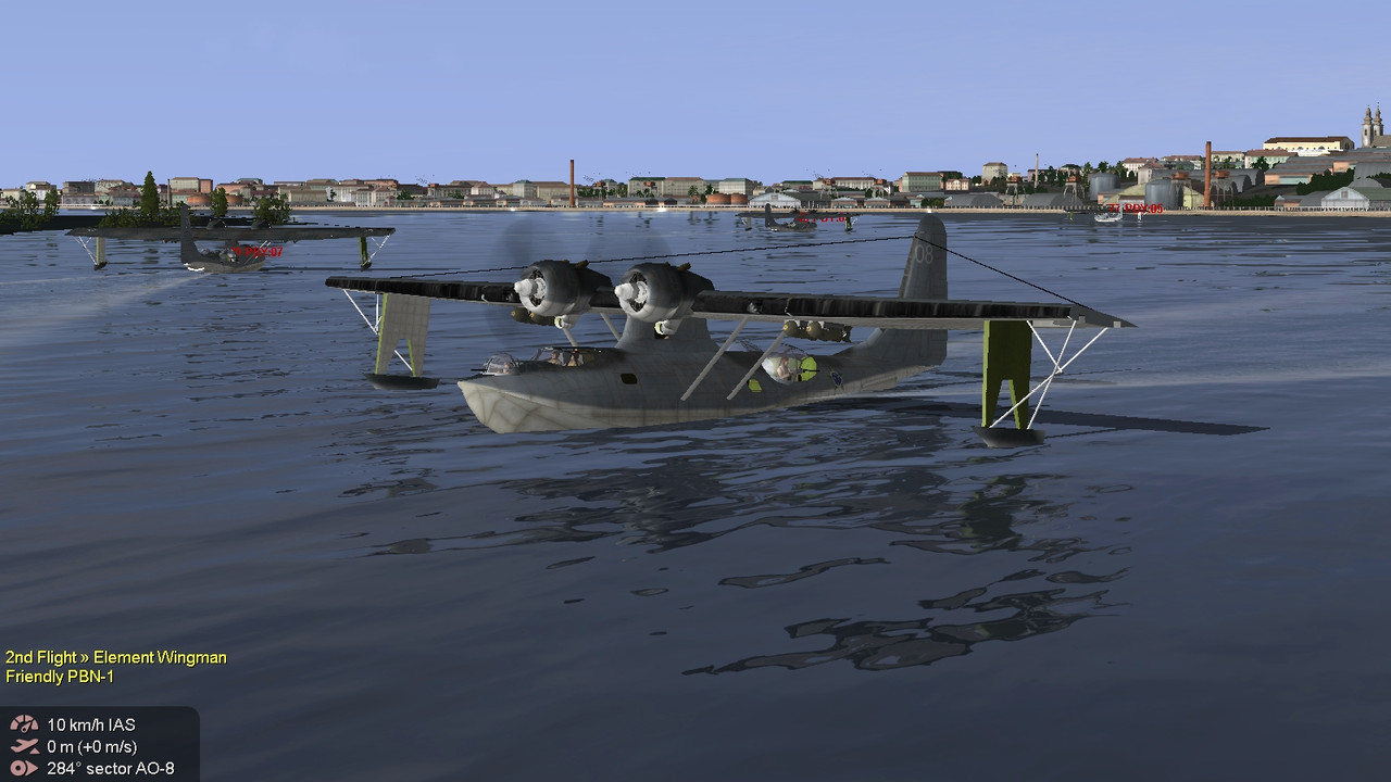
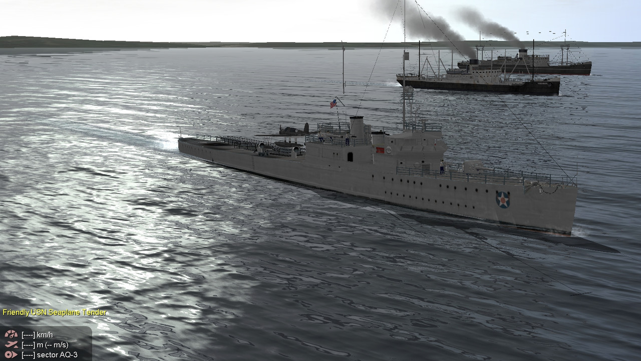
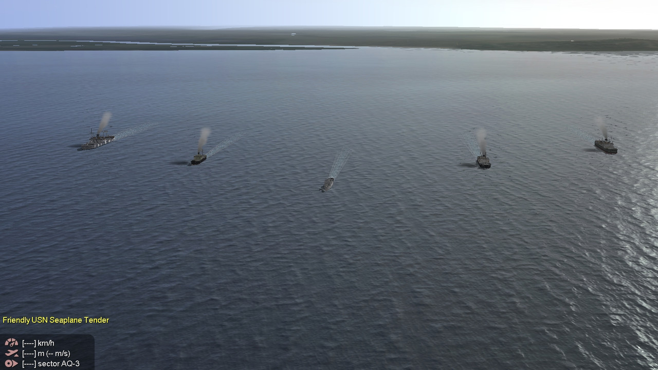
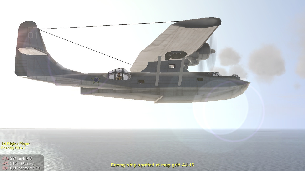
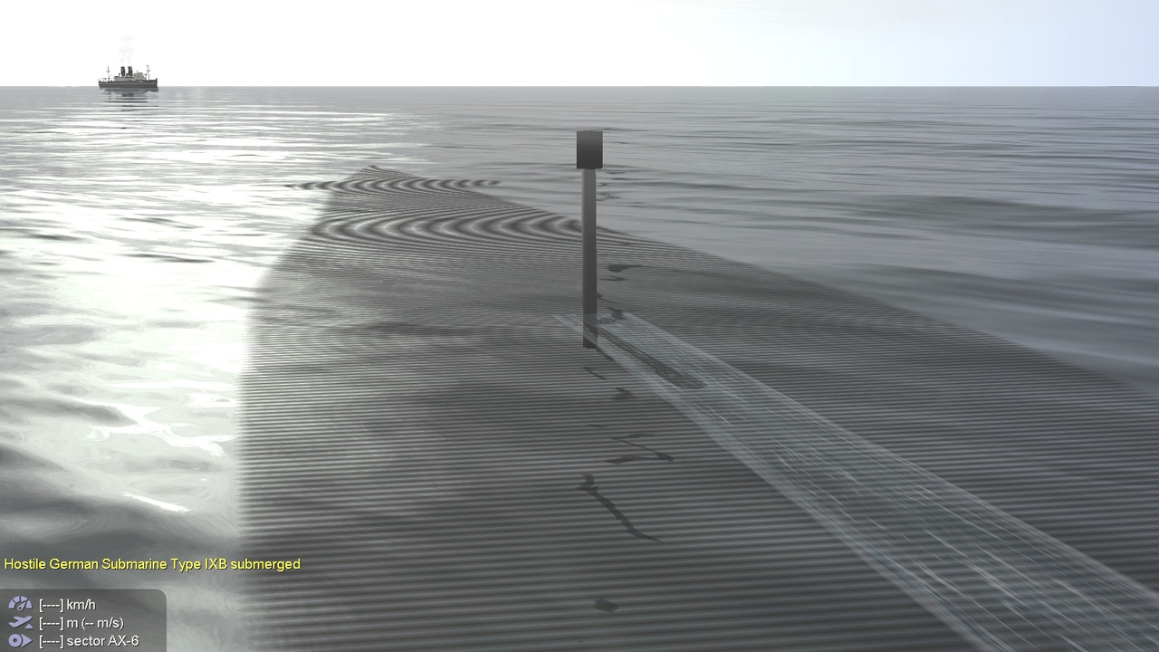
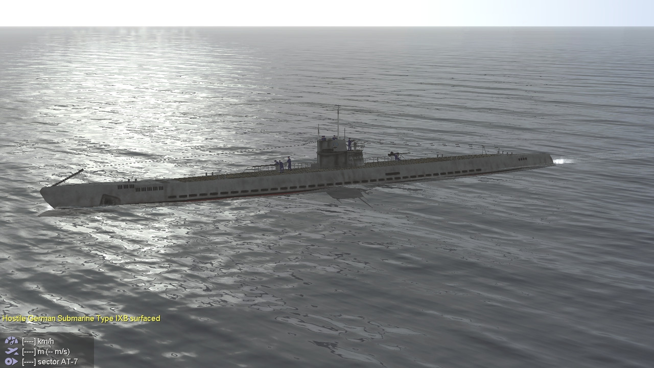
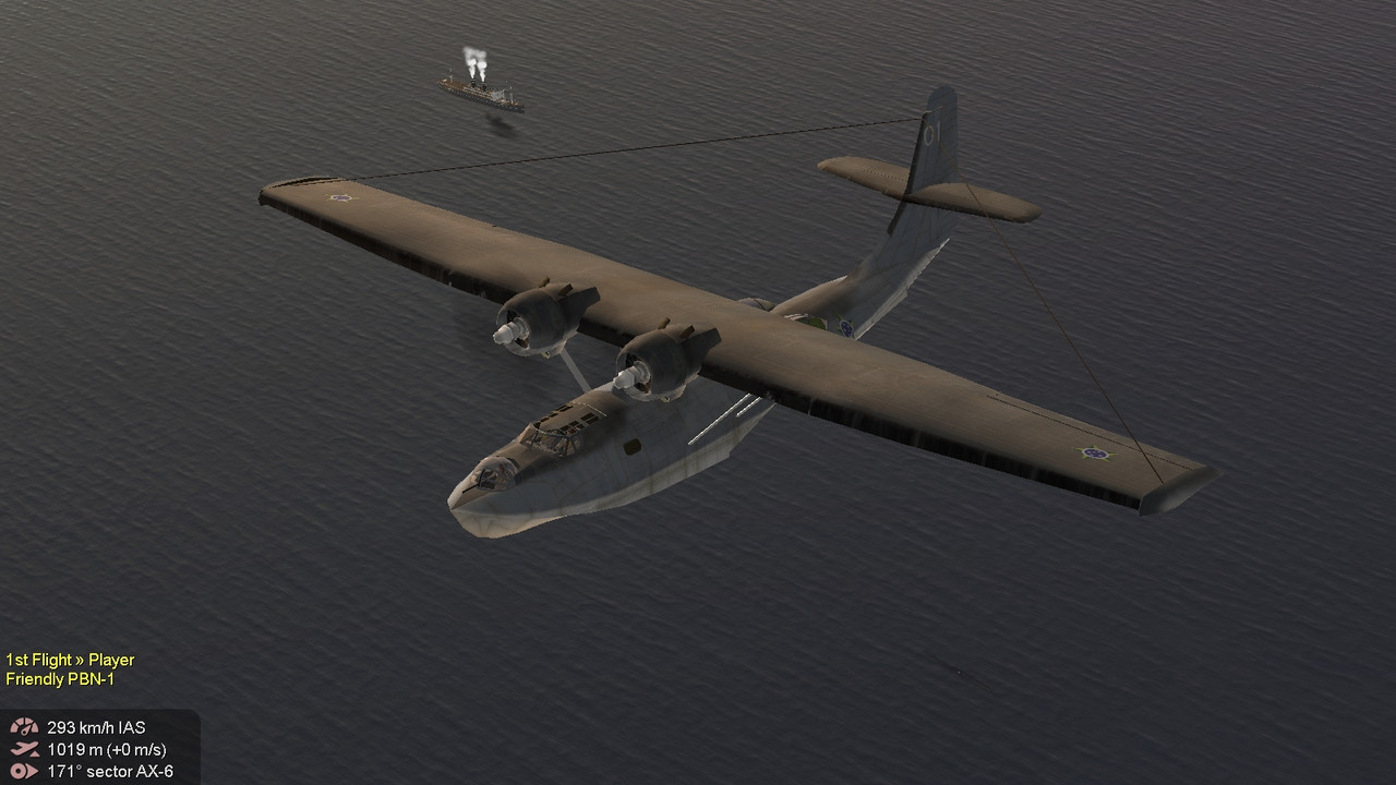
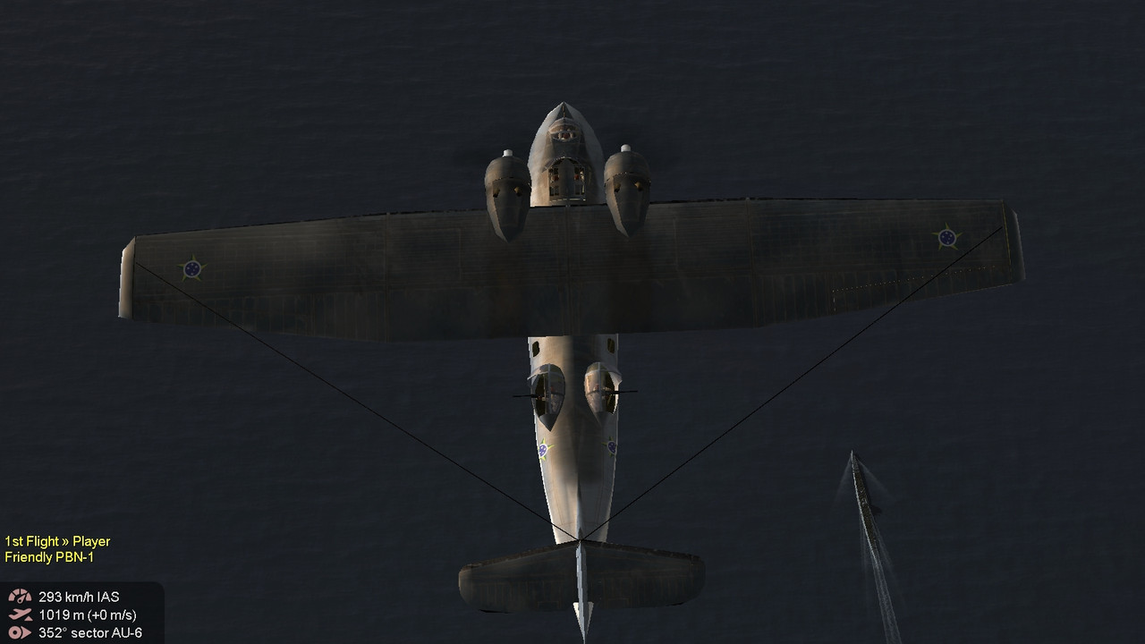
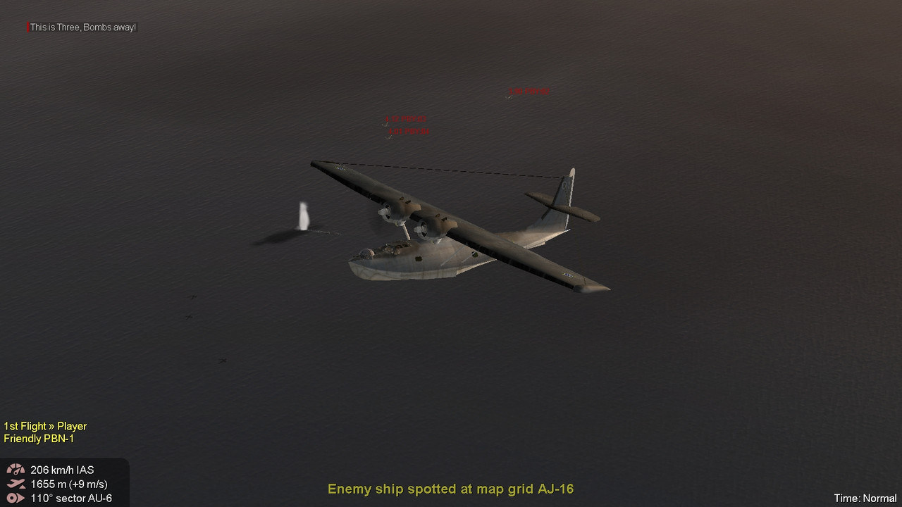
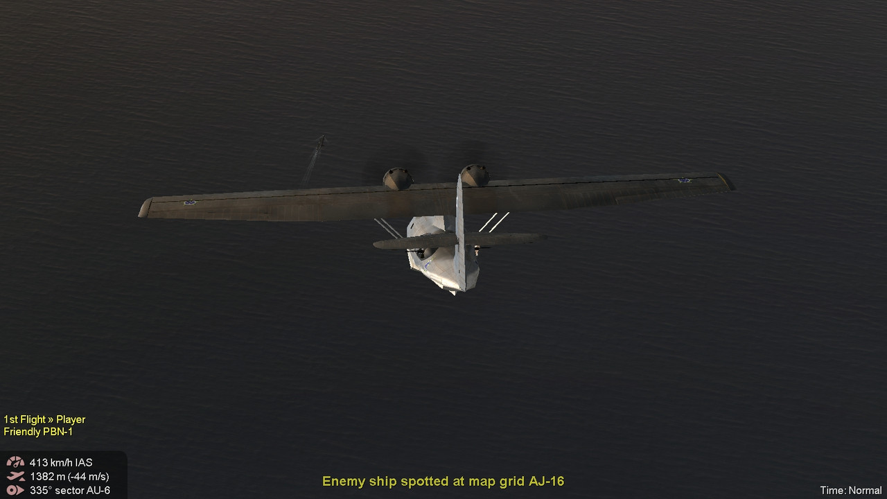
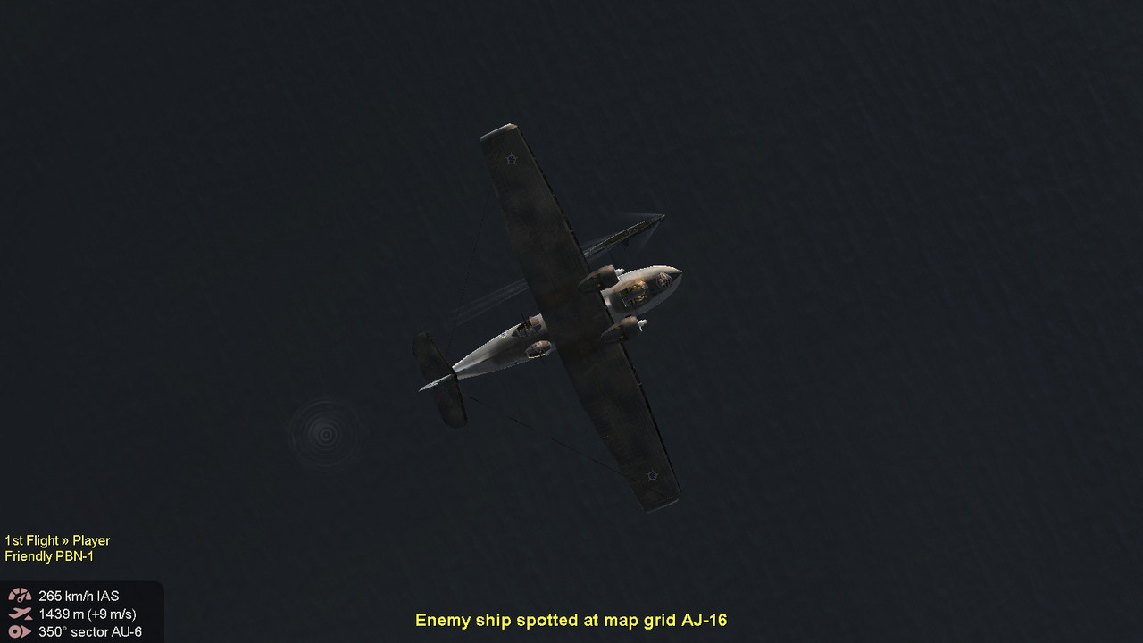
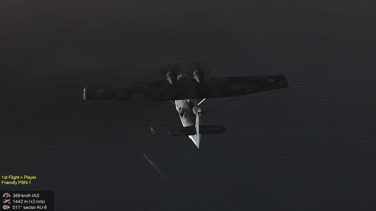
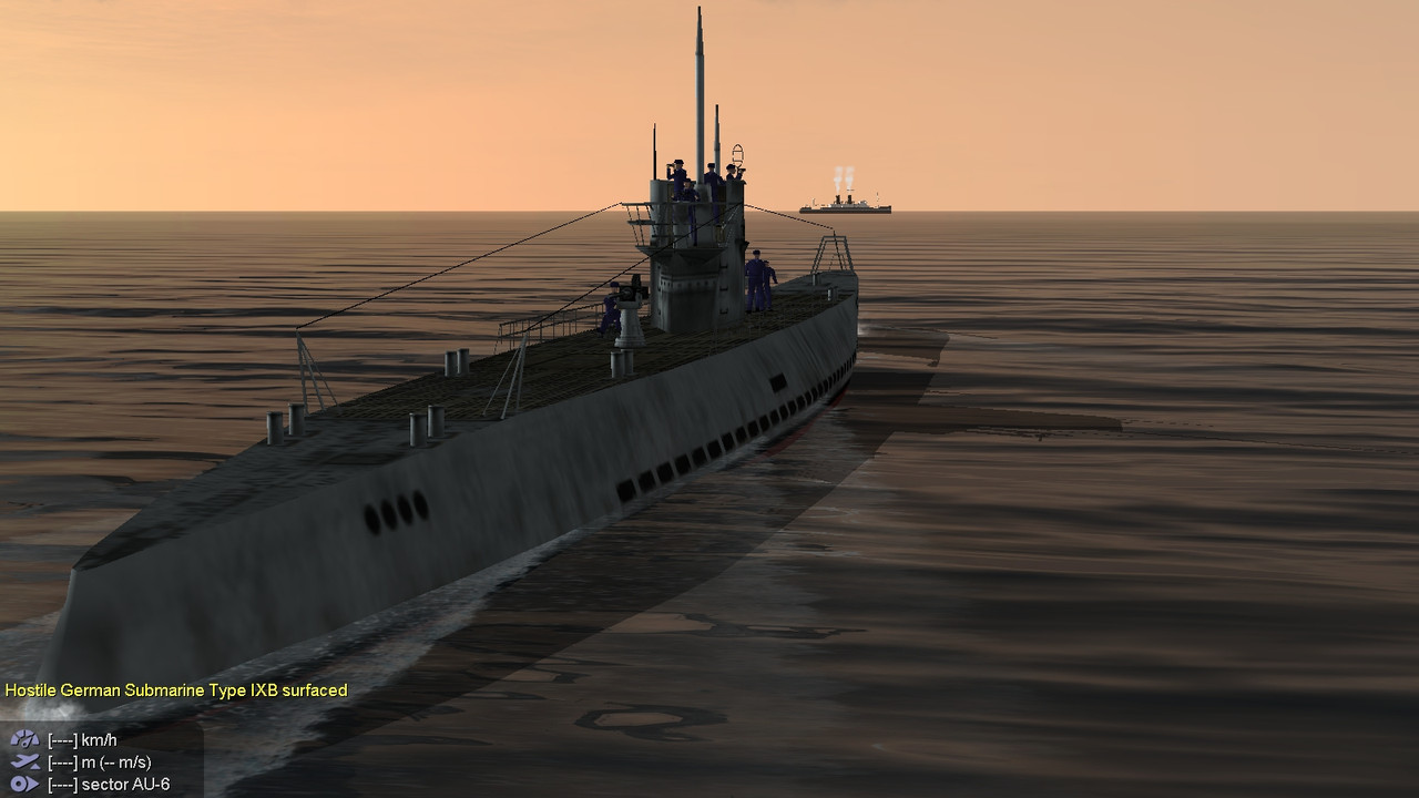
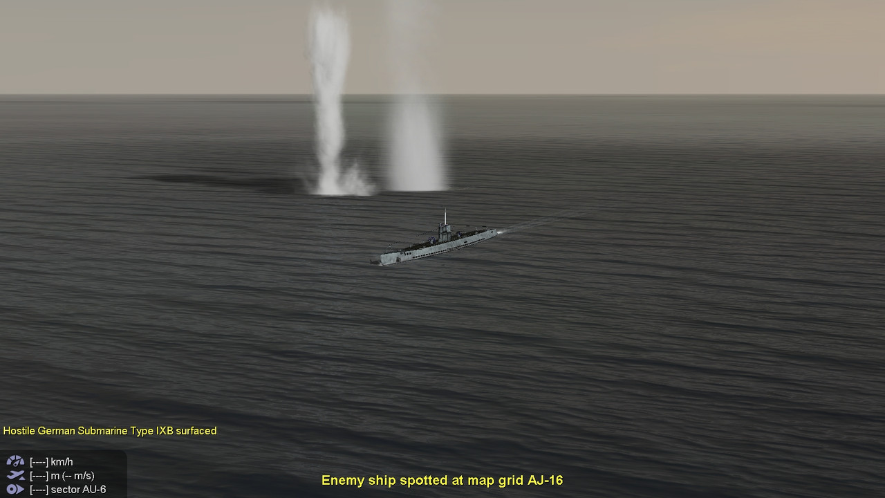
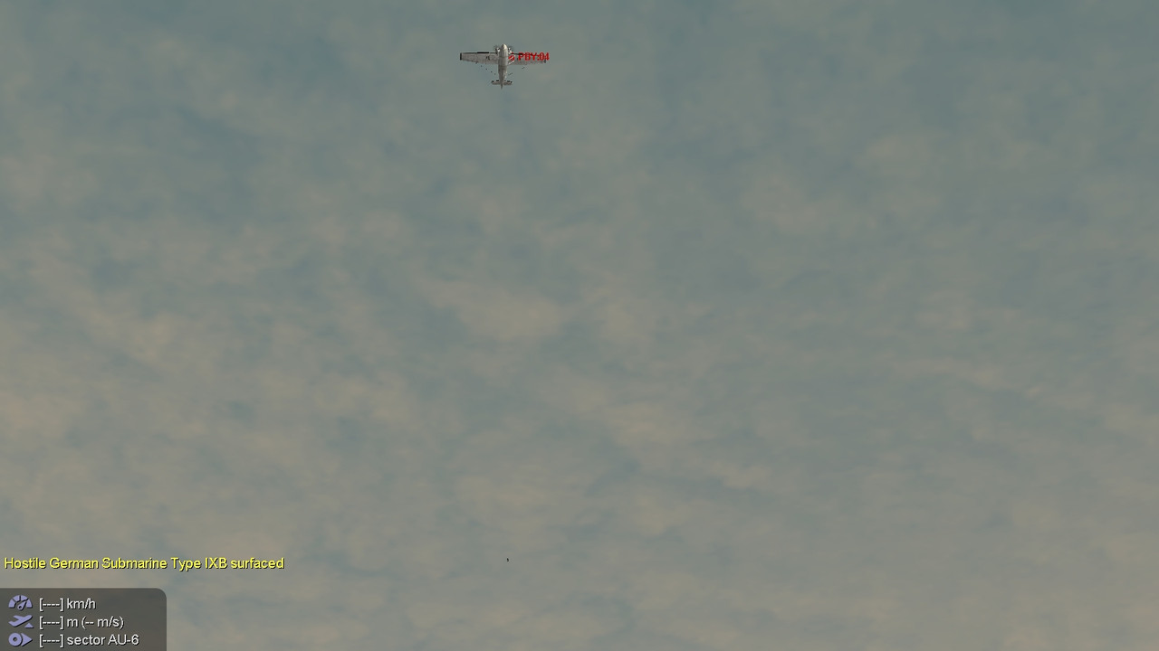
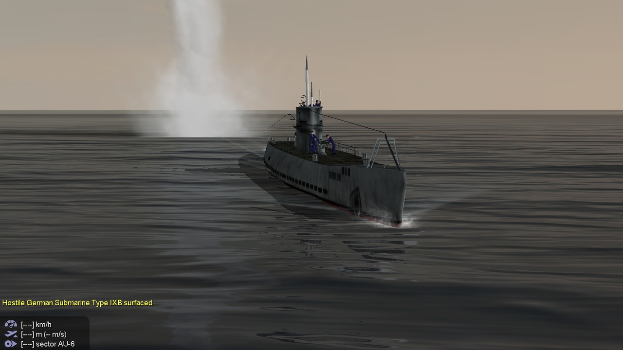
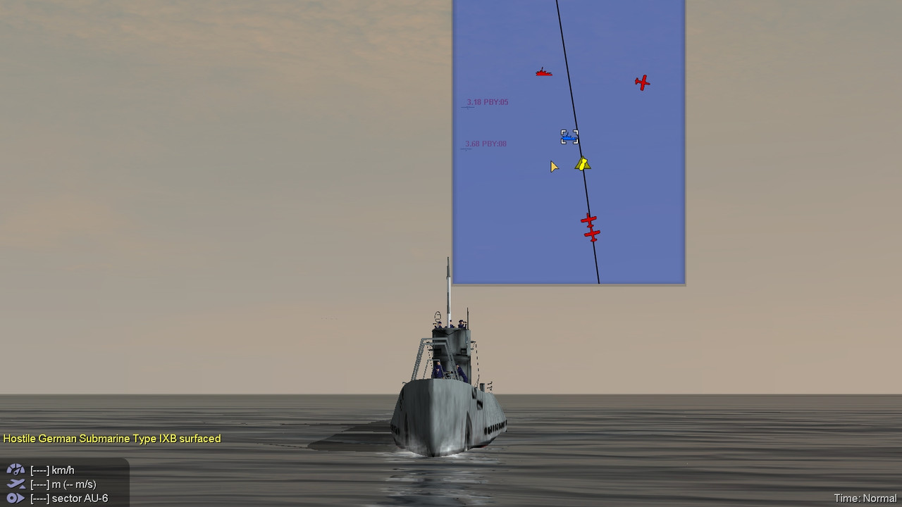
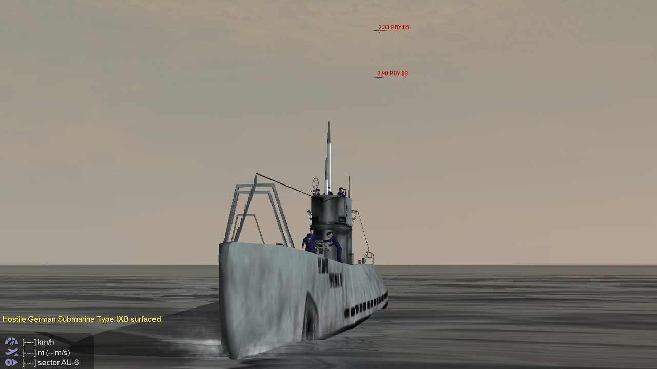
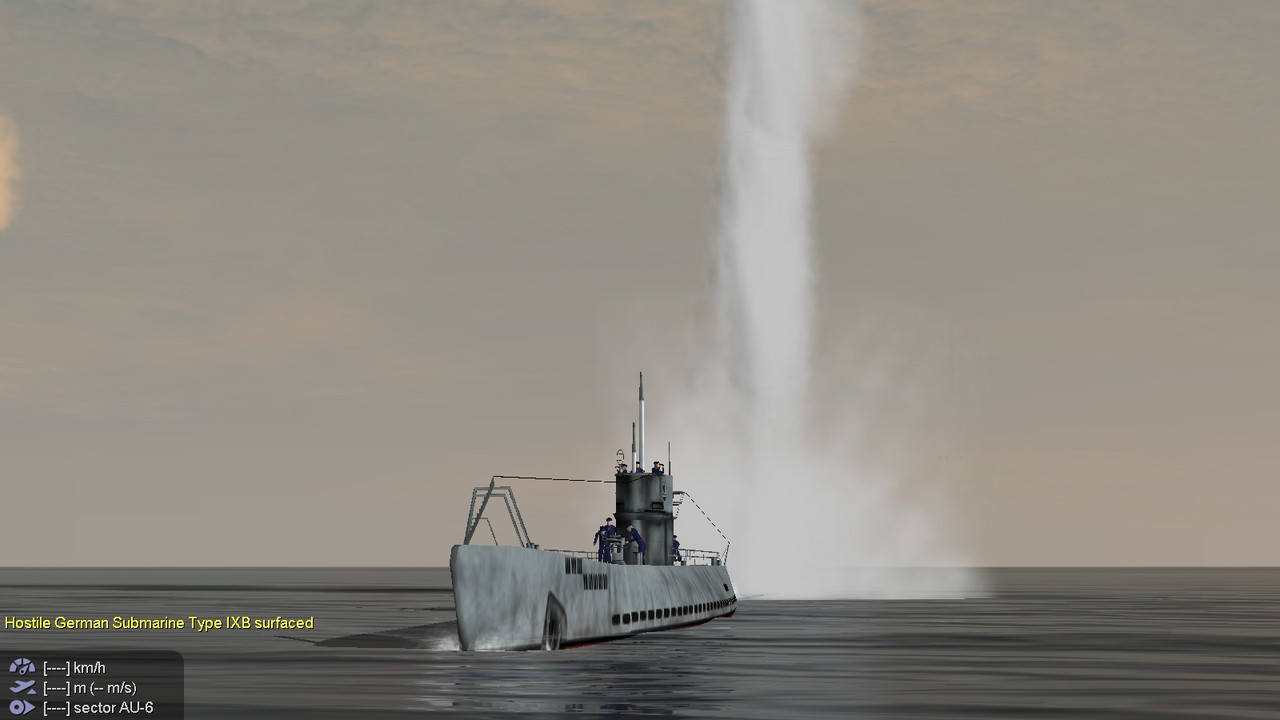
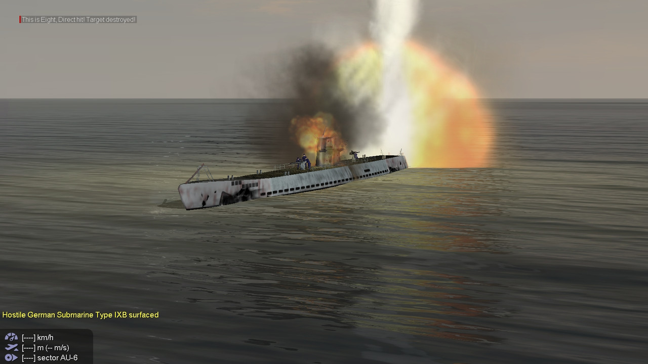
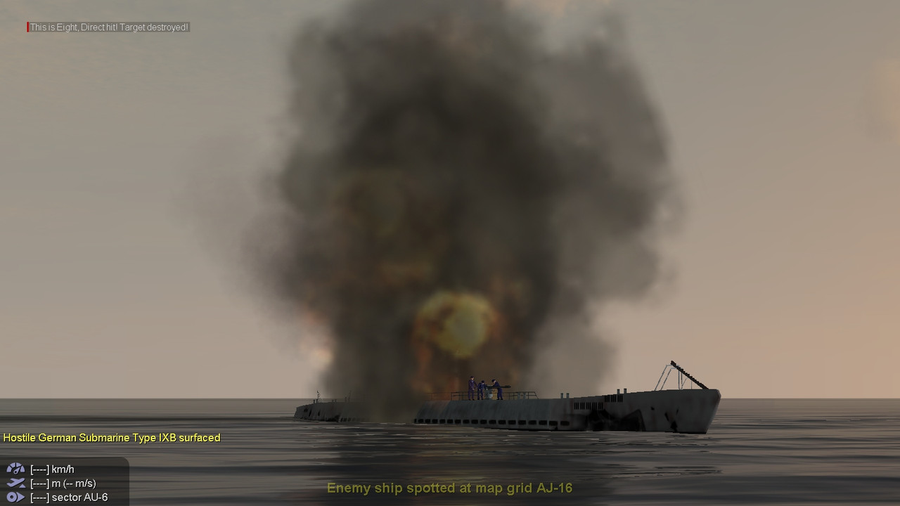
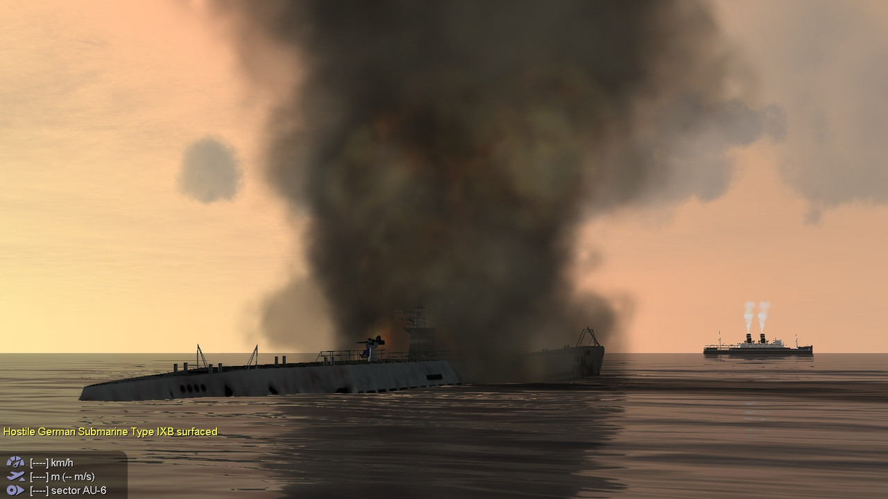
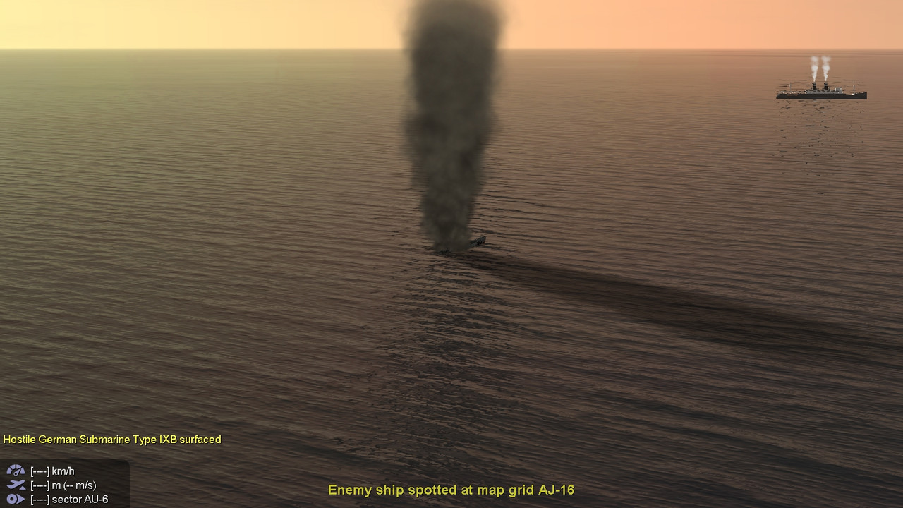
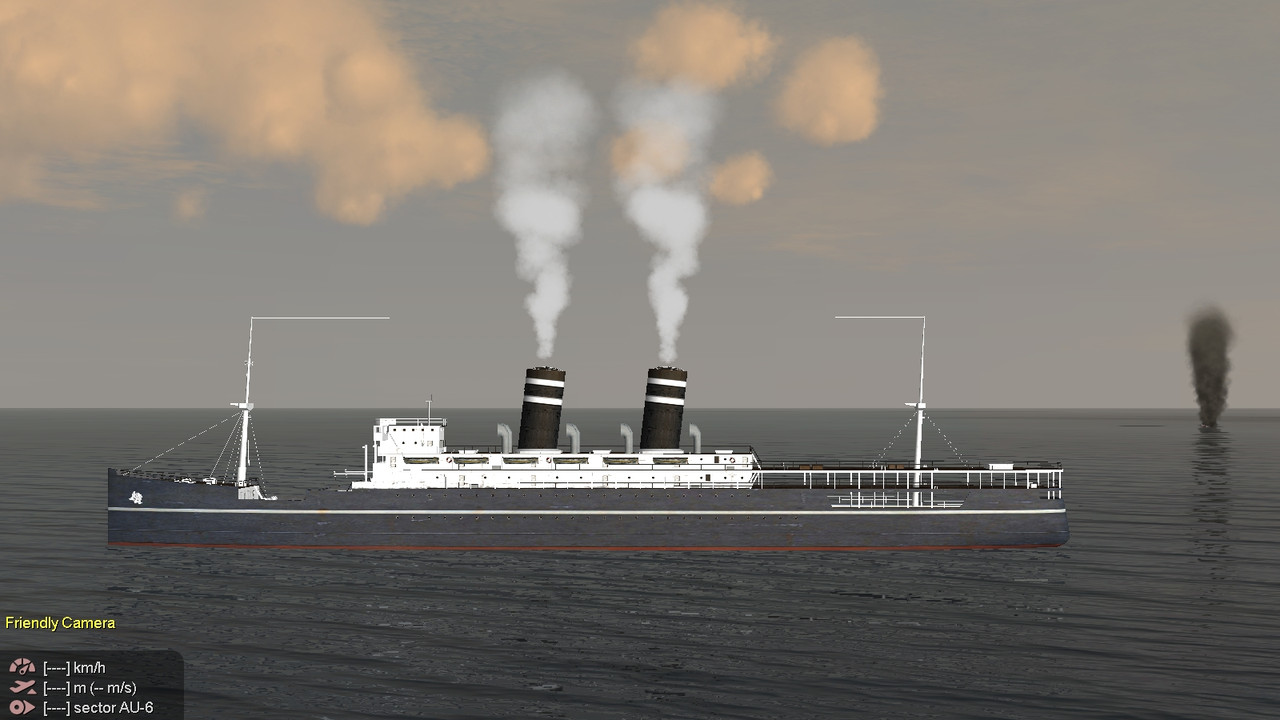
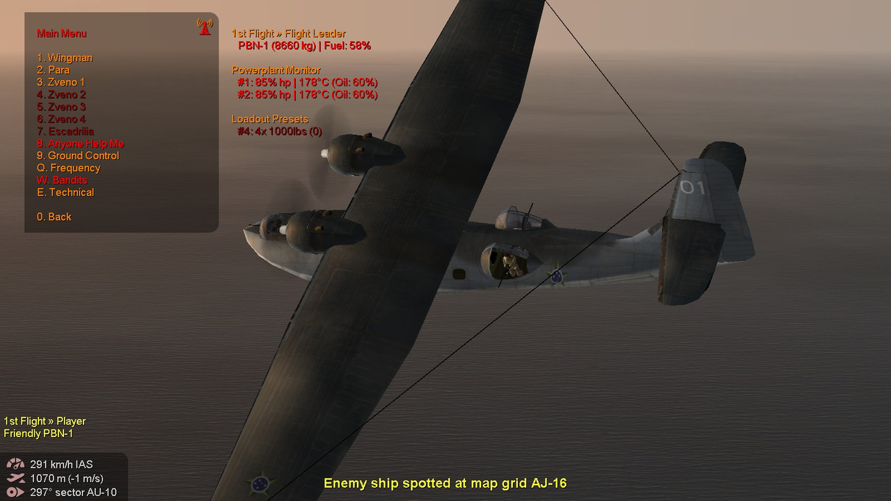
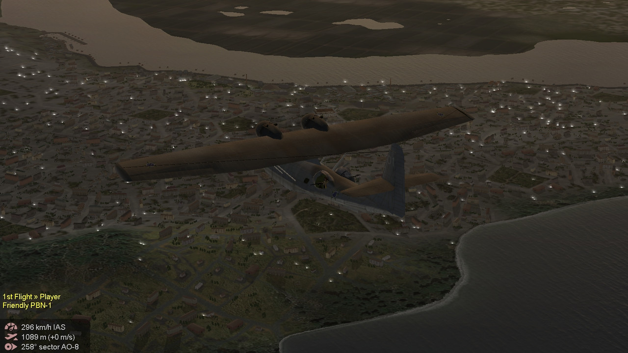
A sample mission generated in UQMG is included below for screenshots. If you want to try the mission, here it is:
https://www.mediafire.com/file/cllyln5ttno07ic/UQMG1946MaxTest0005.zip/fileI’ll post screenshots and hope this all makes sense… I’ll get back to coding in the next few days. You know, family, work, etc…
 Author
Topic: UQMG 1946 Max Template Development (27 May 2024 - Natal Template - Last one before Alpha) (Read 2162 times)


